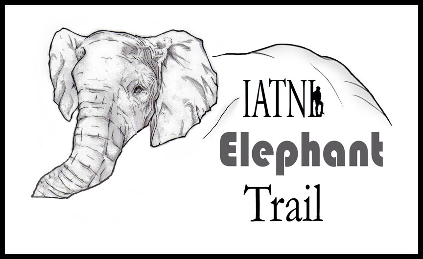
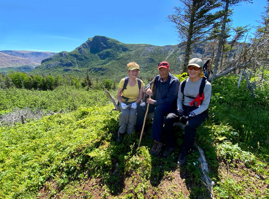
On Friday, June 25, after 2.5 years of intermittent work, the International Appalachian Trail Newfoundland & Labrador (IATNL) launched the Elephant Trail on the south side of Trout River Pond
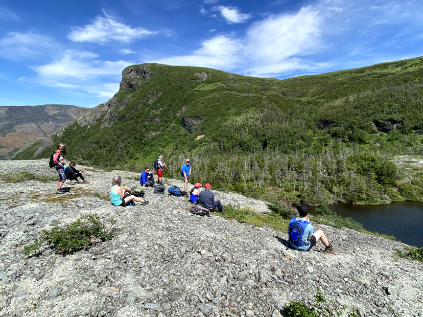
with a group hike of 12 people.
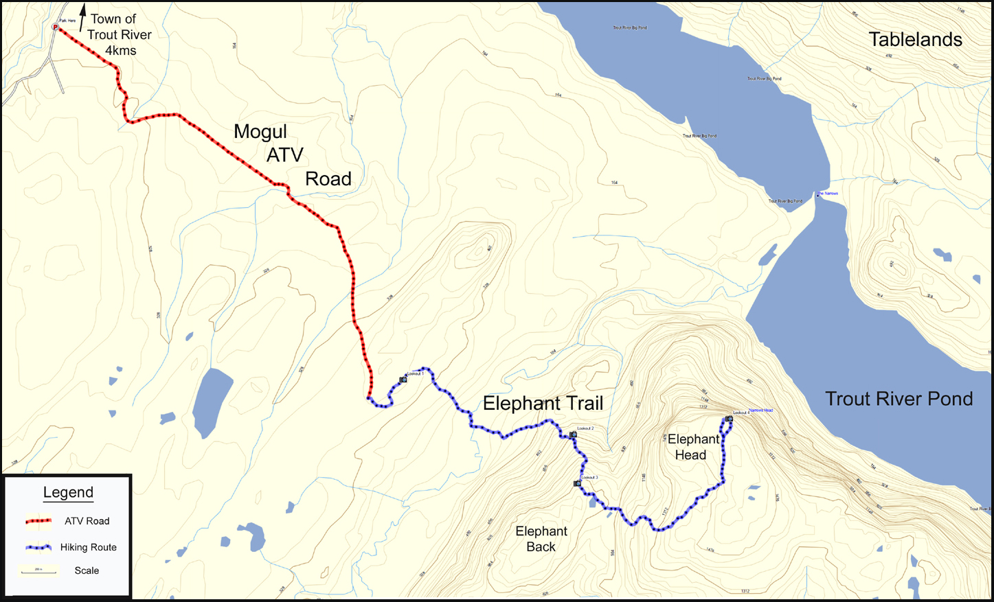
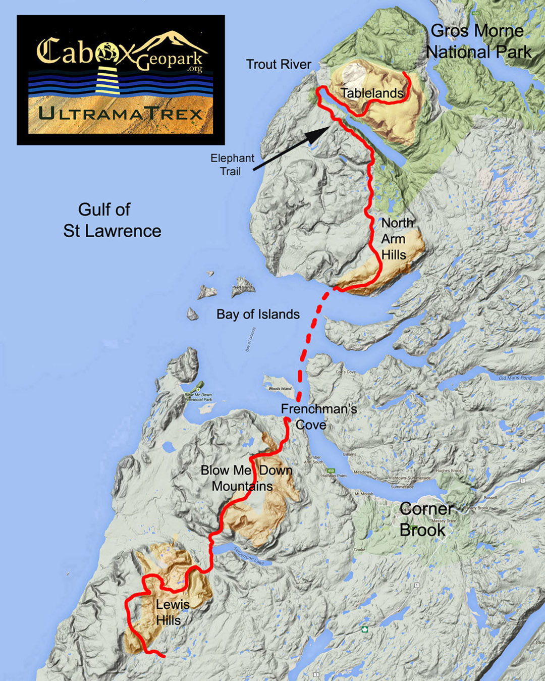
The trail is at the northern end of the 3-day North Arm Traverse
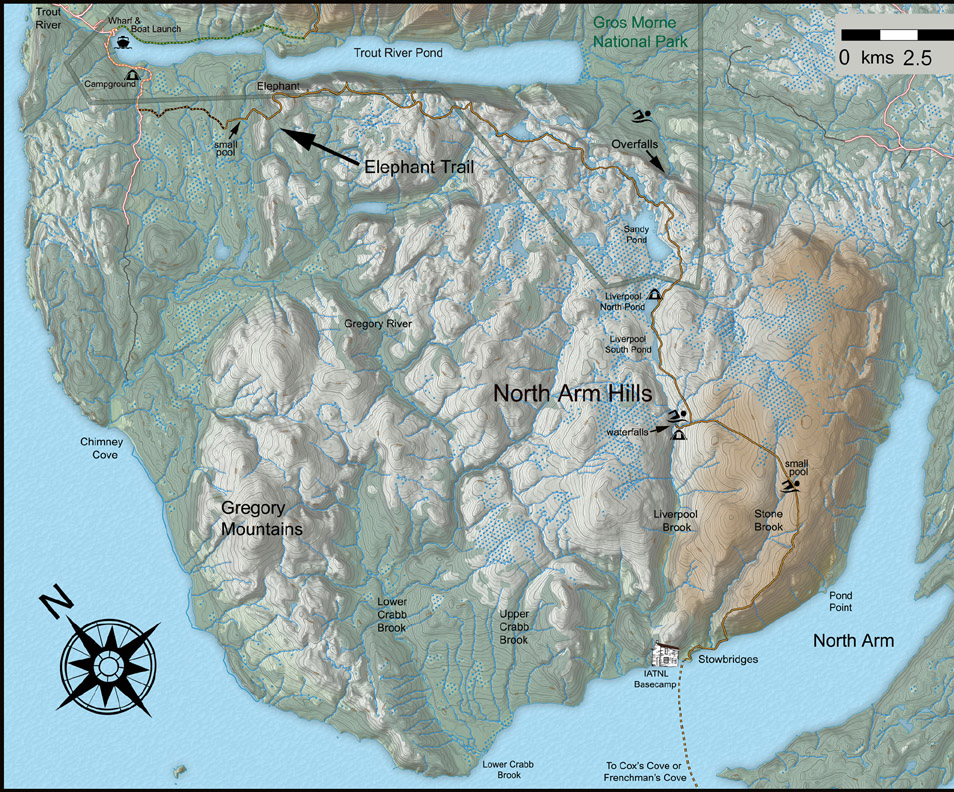
with the southern end located at the IATNL Basecamp at Stowbridges on the north side of North Arm, Bay of Islands.
The North Arm Traverse is itself Stage 2 of the 4-stage UltramaTrex long-distance hiking route which follows the rust-colored “ultramafic” (i.e., high in magnesium and iron) sections of the four Bay of Islands Ophiolite Massifs, with the other three being Table Mountain (aka Tablelands) to the north, and Blow Me Down Mountains and Lewis Hills to the south, across Bay of Islands.
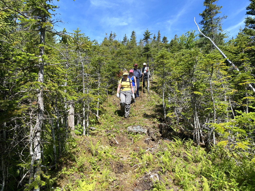
The June 25 inaugural trek of the Elephant Trail began with a 50-minute 3km walk on Mogul ATV road, which intersects Chimney Cove gravel road near a cow bridge 2kms past Trout River Campground, which in turn is 2kms past the parking lot for Trout River Pond in Gros Morne National Park.
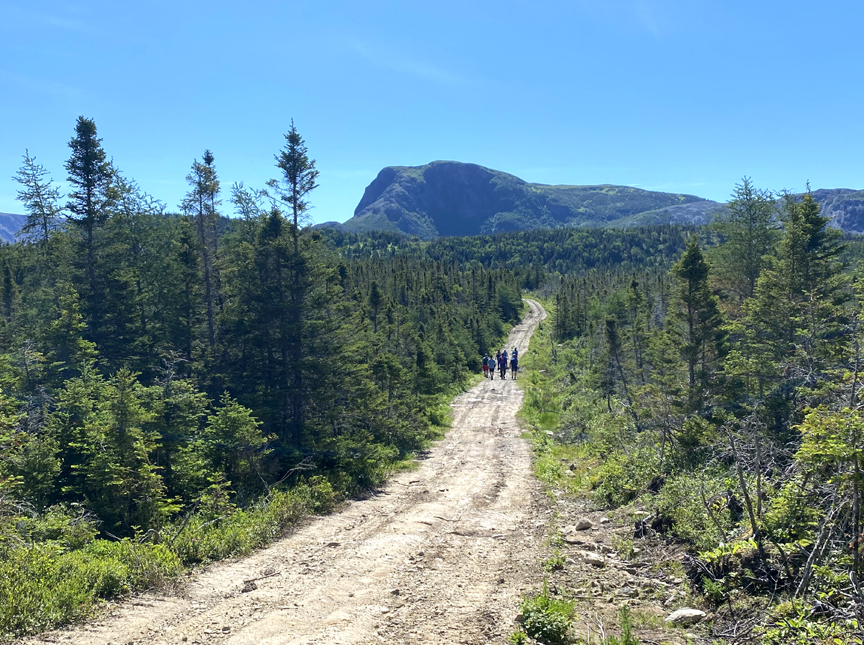
After turning onto the Elephant Trail, a short 10-minute walk brought the group to the first of several good vantage points, this one of the Elephant Head and Tablelands across Trout River Pond.
From there it was downhill “through verdurous glooms and winding mossy ways”
to a rock hop across Narrows Brook
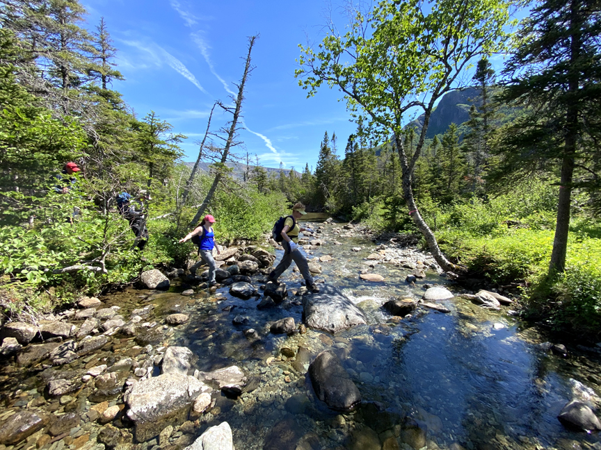
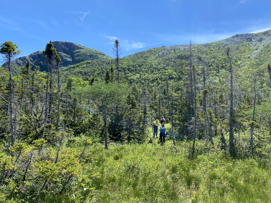
followed by a steady incline to the base of the Elephant’s flank.
For more on the story, go to the Cabox Geopark website.