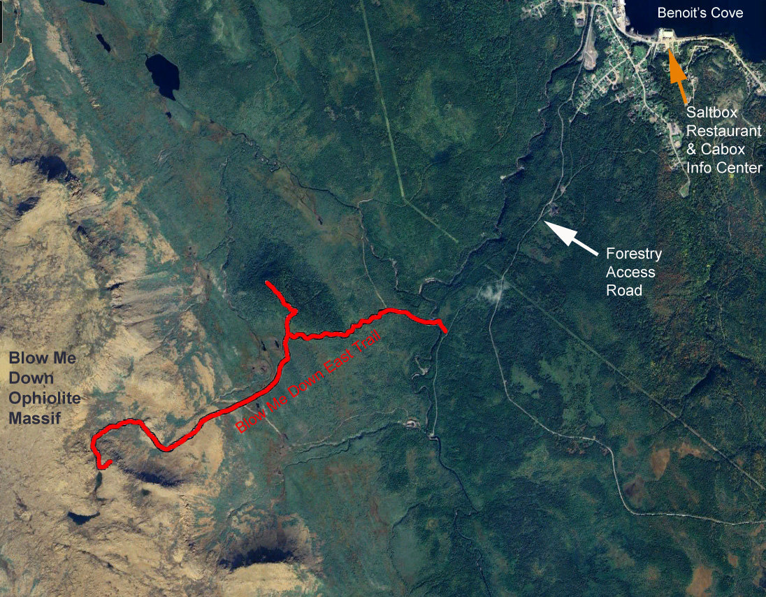
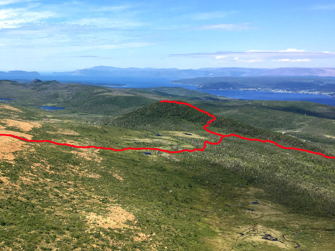
In Spring 2024, work will begin on the East Blow Me Down Trail, a 4km backcounty hiking route that will connect the Forestry Access Road above Benoit’s Cove on the south shore of Humber Arm to the eastern end of the Blow Me Down Ophiolite Massif.
The new International Appalachian Trail Newfoundland and Labrador (IATNL) trail will be developed by Cabox Aspiring Geopark, with funding from the Atlantic Canada Opportunities Agency (ACOA), provincial department of Industry, Energy and Technology (IET), and Trans Canada Trail (TCT), of which it will form part of a spur line linked to the Newfoundland T’Railway, the principal TCT route in Newfoundland and Labrador.
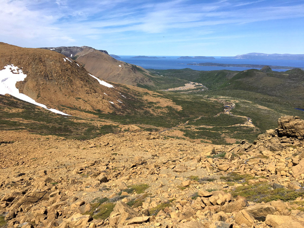
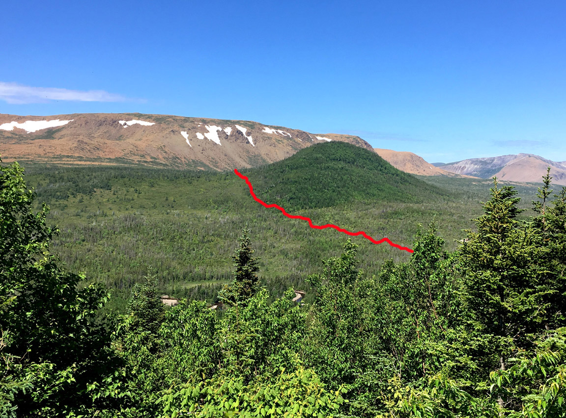
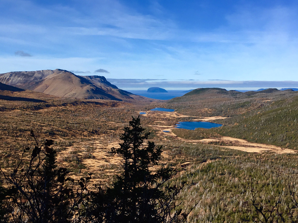
After crossing a shallow section of Clark’s Brook, the trail will wind its way approximately 1km up a gentle scrub-forest slope, before breaking out onto lowland barrens at the base of the Blow Me Down Mountains.
To the right is a foothills hummock, where a side trail will lead to a scenic vantage point that provides spectacular views of the Blow Me Down Mountains and Guernsey Island, aka Weeball, in the outer Bay of Islands.
From here the trail will wind its way around a small wetland mosaic
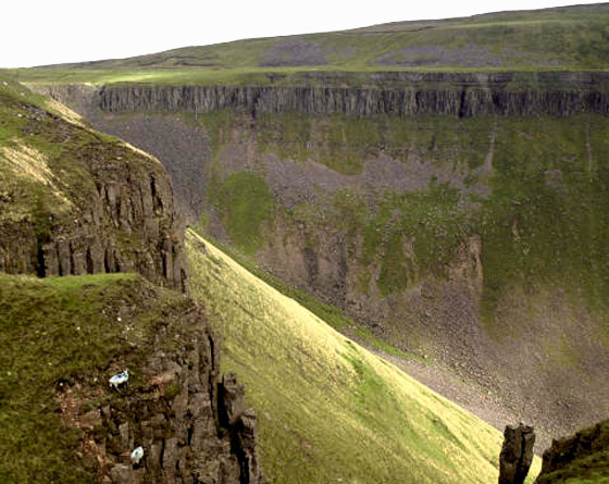
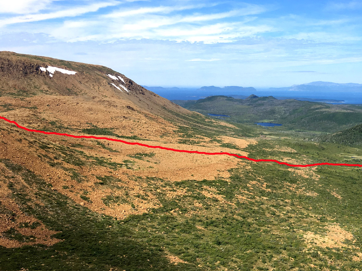
before crossing onto a long rust-colored rocky slope composed of oxidized peridotite from earth’s upper mantle, which was forced to the surface by plate tectonics during the closing of the Iapetus Ocean (pre-cursor of the Atlantic Ocean) more than 400 million years ago, when this region on the edge of Laurentia (i.e., ancient North America) was located in the Tropics.
For more on the new East Blow Me Down Trail, go to Cabox Aspiring Geopark’s website.