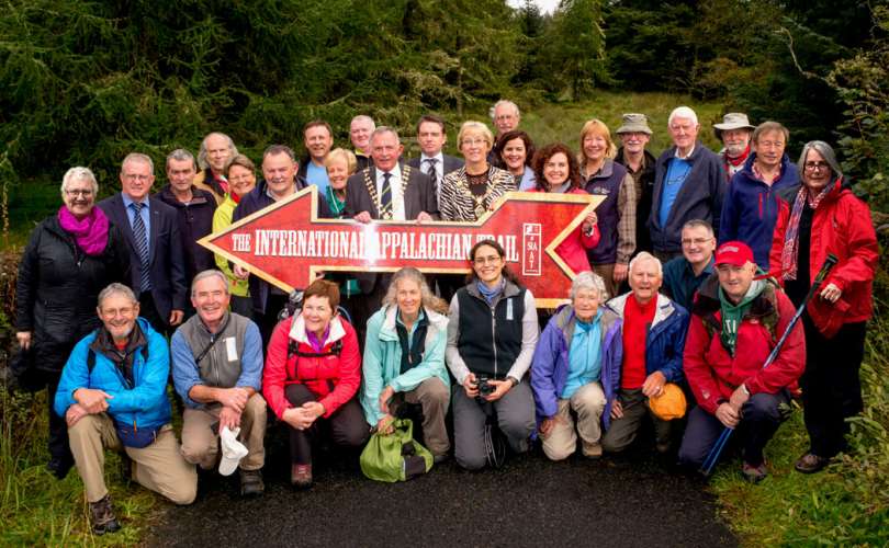
In September IATNL Treasurer Kevin Noseworthy and German volunteer Lenny Engelke journeyed into Simms Gulch on their way to trail blazing the barren mountaintop plateau of Blow Me Down Mountain Trail. Accompanying them into the gulch was filmaker Mark Flagler (www.flaglerfilms.com), who was in Newfoundland filming an IATNL promotional video.


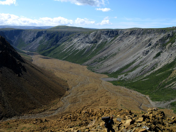
The narrow 5km (3mile) long gorge reaches heights of 600m (1,959ft) and is covered from end to end by a large peridotite/granite scree field bisected by a crystal clear stream fed by deep gorges with cascading waterfalls. The spectacular scenery and geology is otherworldly, and dwarfs the hiker who must carefully navigate around the loose rocks while gazing at the eroding layers of earth’s mantle.


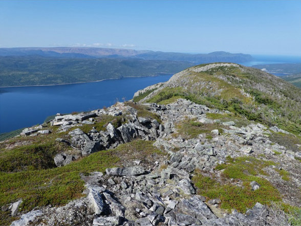
Where the inside valley forks into two treacherous gorges, hikers must climb out of the gulch over loose and shifting scree, including sizeable boulders that may tumble at the slightest provocation. However, the effort is well worth the risk, as the ascent provides spectacular views of the glacier-carved valley and river of stone.


Once on top of the Blow Me Down Mountains, the terrain couldn’t be more different. A wide open expanse of gentle rolling hills of grassland and bog ponds extends 10kms (6miles) north to the headwaters of Blow Me Down Brook and Mad Dog Pond.

From there the IATNL’s Blow Me Down Mountain Trail meanders another 5kms (3miles) around hills and ponds until it connects with the Copper Mine To Cape Trail and Cape Blow Me Down. Along the way hikers may want to keep a look out for moose and caribou, and the cantankerous Big Root. Remember to keep a safe distance … as you shoot photos while trying to count the points!

To view more photos of Blazing The Blow Me Down Mountain Trail go to IATNL Flickr…