

Though it was a little warm for hiking, the occasional cloud and ocean breeze made for a pleasant 12-hour 23km trek into the remote western Blow Me Down Mountains on August 11.

The adventure began with Captain Cook B&B and Cottages’ Alan Shepherd giving IATNL directors Paul Wylezol and Delano Pittman a side-by-side ride from York Harbour on the southern side of the outer Bay of Islands to the southeast corner of Wild Cove Pond, where the York Harbour/Lark Harbour network of ATV trails ends near the base of the Blow-Me-Down Mountains.

The goal of the trek was to find an access to/from the mountains below Round Hill and The Haystacks (the highest peaks on the Blow Me Downs) that would provide a 2-day east-west traverse of the hills from Benoit’s Cove via the back end of Simms Gulch.

The route as is requires a small amount of to-the-knee bushwhacking and a little scree hopping, but with a few improvements it will provide an intermediate level trek with great new views of and from the Bay of Islands Ophiolite Massif, and more examples of its stunning geology.

Once past the base of the mountains and into the north branch canyon of Riley’s Brook, the massif reveals a landscape of rust-colored peridotite from the earth’s mantle and light gray gabbro from the ocean crust.

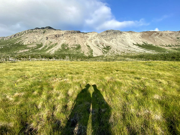
The south bank of the canyon is characterized by a long, barren, rocky slope with occasional patches of low shrubs, which makes for an easy climb or descent with great views of the brook and opposing hillside.

Once above the fork in the brook, the peridotite disappears and the canyon transforms into a strictly gabbroic viewscape.

This mid-level plateau contains interconnected patches of 4-6ft scrub, where several moose graze in relative obscurity.

For more on the story, go to the Cabox Geopark website.