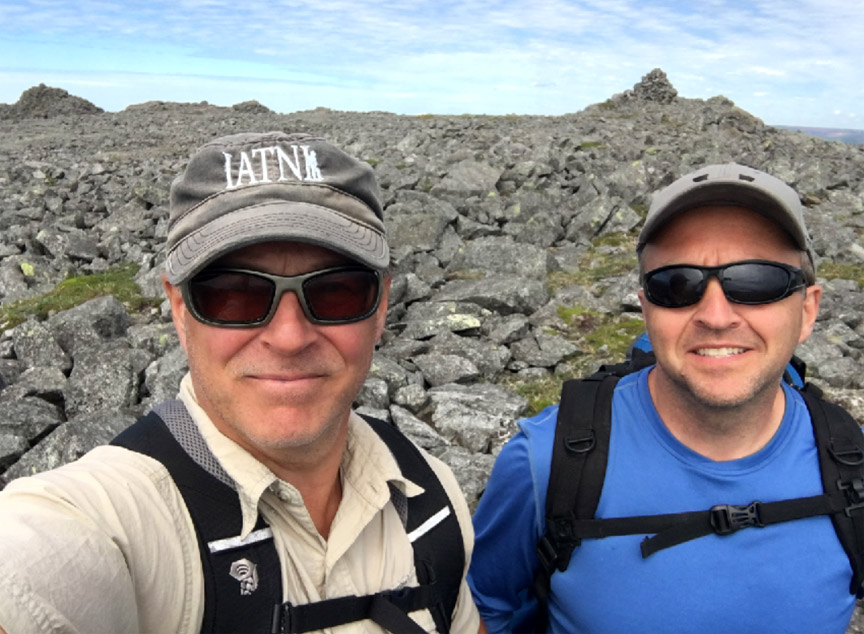
On the morning of July 23, IATNL directors Paul Wylezol and Delano Pittman set off in pickup truck down a gravel road just south of Trout River, heading to the remote resettled community of Chimney Cove on the gulf coast about midway between Trout River and the Bay of Islands.

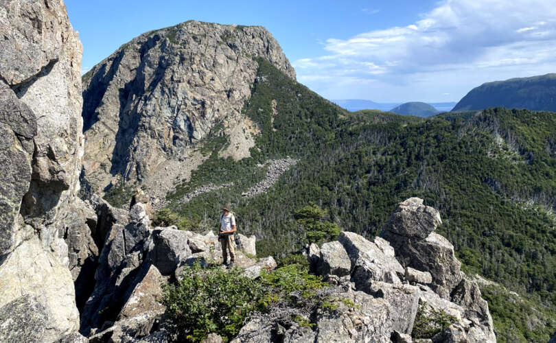
They were on a mission to find a hikeable route to the top of Mount St Gregory from Chimney Cove that would serve as the northern access for a planned ST GREGORY’S CROSS one-day trek from Lower Crabb Brook on the north shore of the Bay of Islands then across the Gregory Mountains to Chimney Cove, before returning to the Bay of Islands by boat or continuing on to Trout River at the southwestern edge of Gros Morne National Park.

Though the first 8-9 kms of the 13 km gravel road were in good condition, the last 4-5 kms were fairly rough and not ideal for driving anything other than an ATV off-road vehicle or mountain bike.

The road is maintained by the approximately 25 cottage owners in Chimney Cove and ends at the wide but shallow Gregory River which flows north then west off the Gregory Mountains.

After crossing the river and walking 1 km walk, Paul and Delano reached a sizeable pastureland strewn with cabins, cows and driftwood, and a 500-ft high grass-covered headland that loomed above it all.

Horses were also grazing the fenceless grasslands, sufficiently content not to wander off.

Fronting it all was a half-kilometer wide gray sandy beach that was easy to cross but not so easy to leave behind

as the next 3.5 kms was composed of a variety of rock types and sizes that weren’t especially difficult to walk across, but did require constant attention. One or two spots may also be narrow during high tide, but they are likely passable.

For more on the story, go to the Cabox Geopark website.