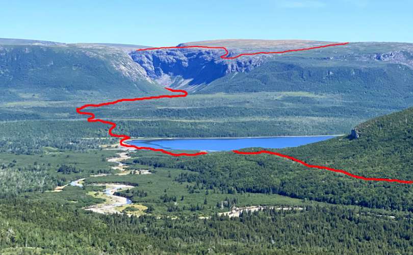
On August 17 after an unusually long dry spell in Western Newfoundland, IATNL/CABOX Director Paul Wylezol set off from the Lewis Hills Trail’s northern trailhead in search of a hiking route to the east rim of Wheelers Gulch on the northeast corner of the Lewis Hills

then returned via the relatively dry Blue Hill Brook that flows north along the base of the mountains into the western end of Serpentine Lake near its outflow into Serpentine River.

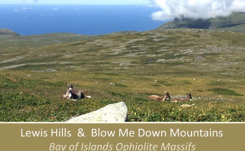
Like the others canyons on the northeast side of the Lewis Hills, Wheelers Gulch is composed of oxidized (and rust-colored) peridotite from the earth’s mantle which was thrust on top of Grenville basement rocks and various layers of continental slope by the process of plate tectonics during the closing of the Iapetus Ocean approximately 450 million years ago.

After walking the trail up through the forest and above the tree line at the base of the “hills”, Paul turned left (south) and scrambled up over rock and low scrub as he followed the course of a small stream that marks the boundary between the metamorphic sole (or aureole) and the mantle that thrust over it.


The climb up the diagonal slope provided nice views of Serpentine Lake and the Blow Me Down Mountains beyond


while the view above revealed a not-too-difficult slope leading to a gentle incline.


After a half-kilometer walk weaving and bobbing around rocks and boulders of various sizes, Paul reached the northernmost point of the east rim, which provided a spectacular view of the entrance to Wheelers Gulch, Serpentine Lake and the Blow Me Down Mountains.


For more on the story, go to the Cabox Geopark website.