
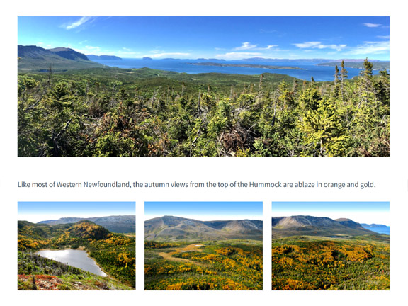
Hummock Trail - Route Description
Click here for detailed trail route description
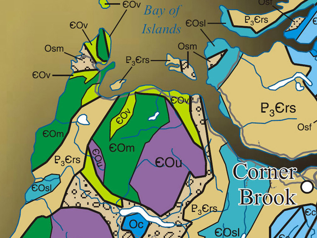
Geographic Information
Click here for info on the Blow Me Down Mountains
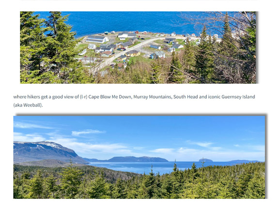
Salt Water Trail - Route Description
Click here for detailed trail route description
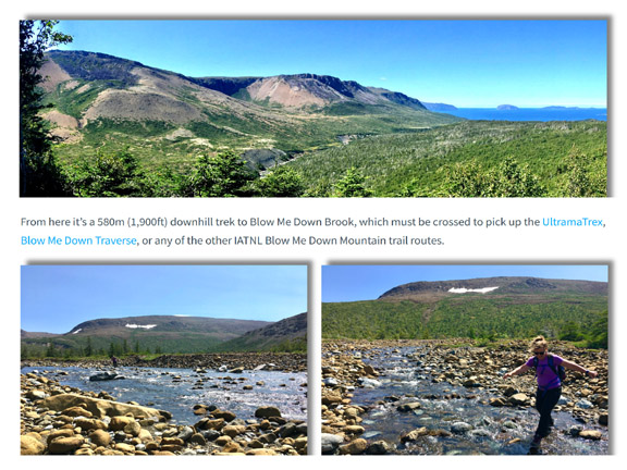
FC Ultra Extra - Route Description
Click here for detailed trail route description
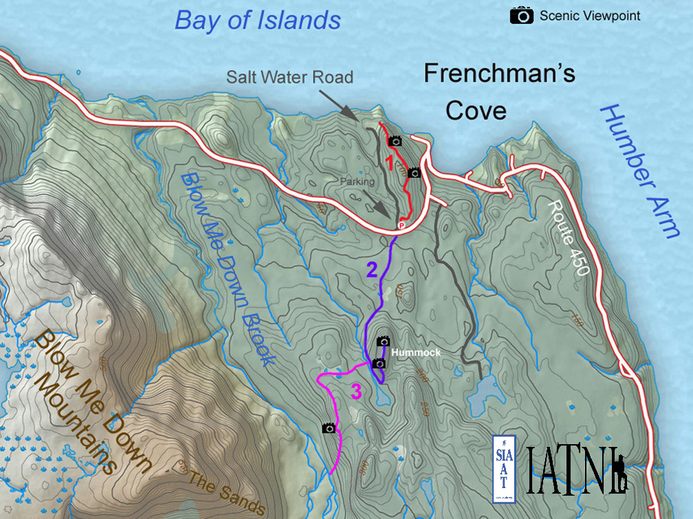
Topographical Map
Click here for trail route topo map

Details & Directions
Click here for summary details and directions
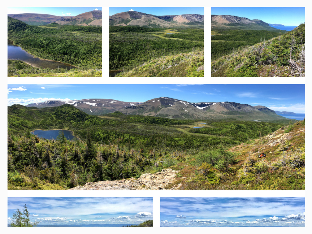
Photo Gallery
Click here for Trail Route Photos
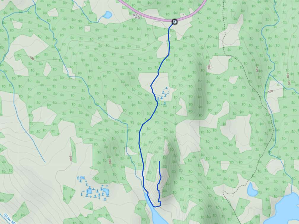
GPS Track
Click here for trail route GPS Track