

The IATNL Salt Water Trail is a 1.5 km (1 mi) forest trail that starts at the trailhead parking lot located near the intersection of Salt Water Road above Frenchman’s Cove with Route 450.
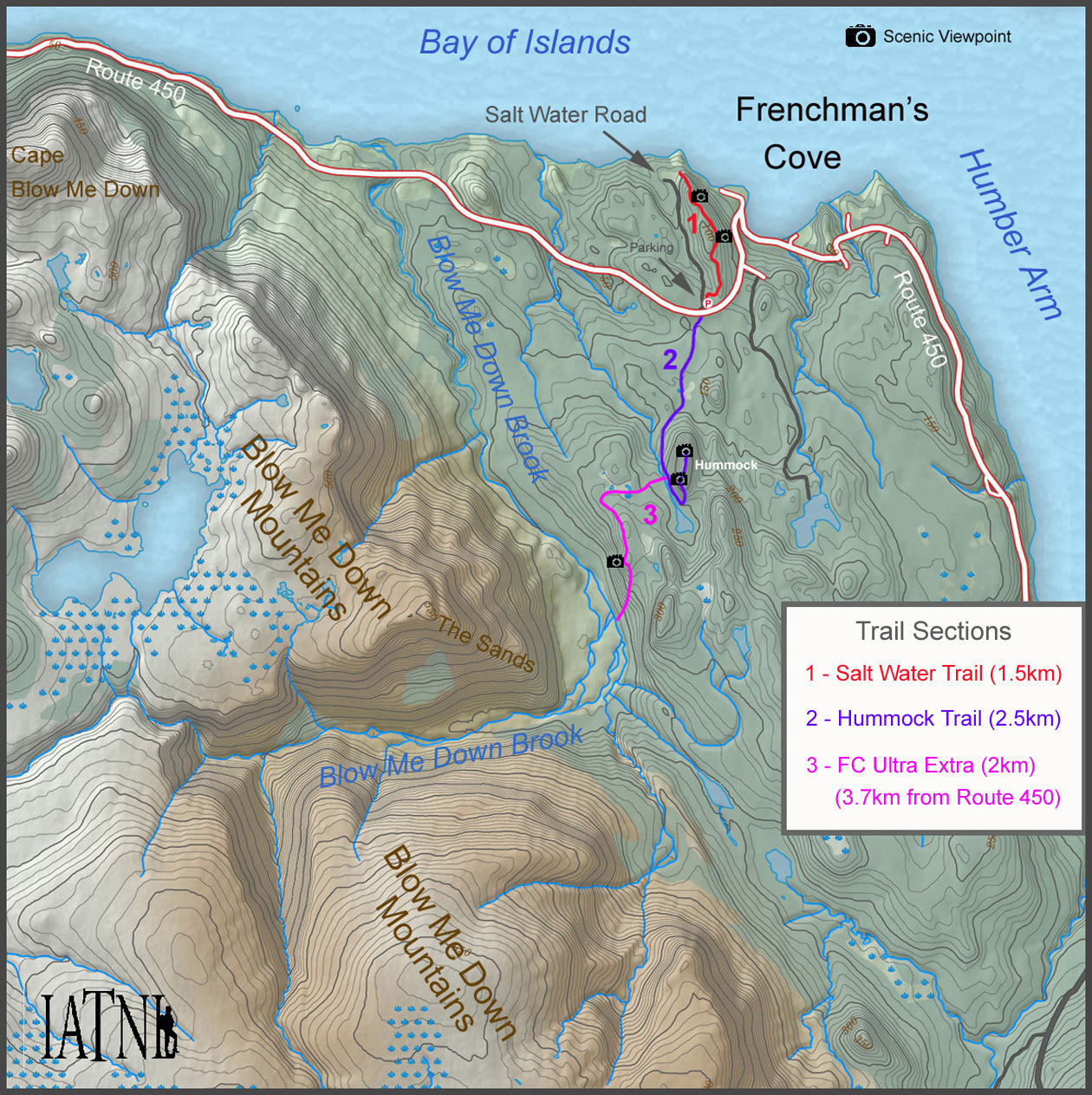
From the parking lot, the trail winds 430m through forest and up a small hill to the first viewpoint, which provides a good – albeit distant – view of the Frenchman’s Cove Hummock and northern end of the Blow Me Down Mountains.
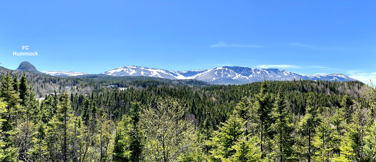
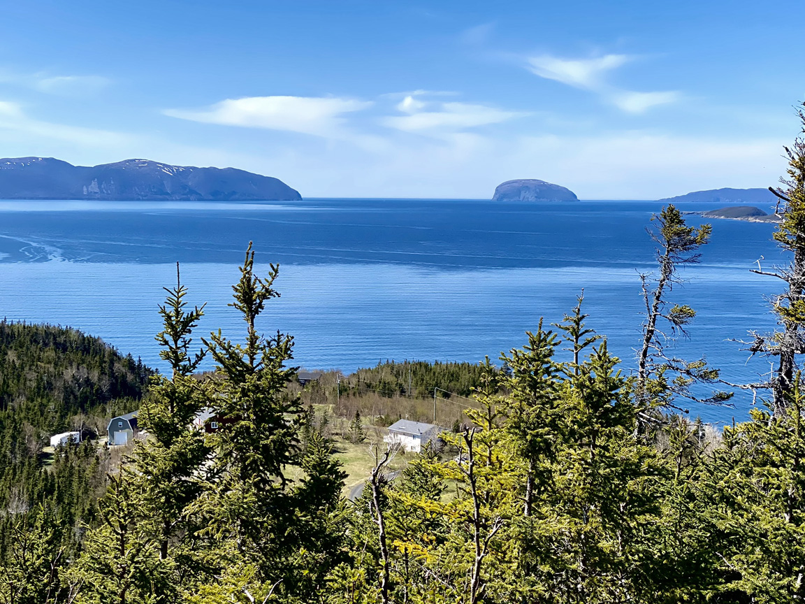
After winding another 400m (1,312ft), the trail arrives at the first of two east-facing viewpoints, which provides a 100m (328ft) high vantage point of Frenchman’s Cove.
Another 290m (950ft) of weaving through forest brings hikers to the second east-facing viewpoint, this time with more of the little fishing village at the entrance to Humber Arm.
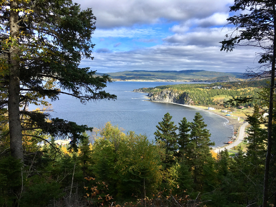
From here the trail swings back 260m (853ft) to the western side of this narrow ridge looming above Frenchman’s Cove, where hikers get a good view of (l-r) Cape Blow Me Down, Murray Mountains, South Head and iconic Guernsey Island (aka Weeball).
At this point the trail descends 30m (98ft) in 165m (540ft), but not before getting a final view of the Murray Mountains, Weeball and the few homes at the bottom of Salt Water Road.
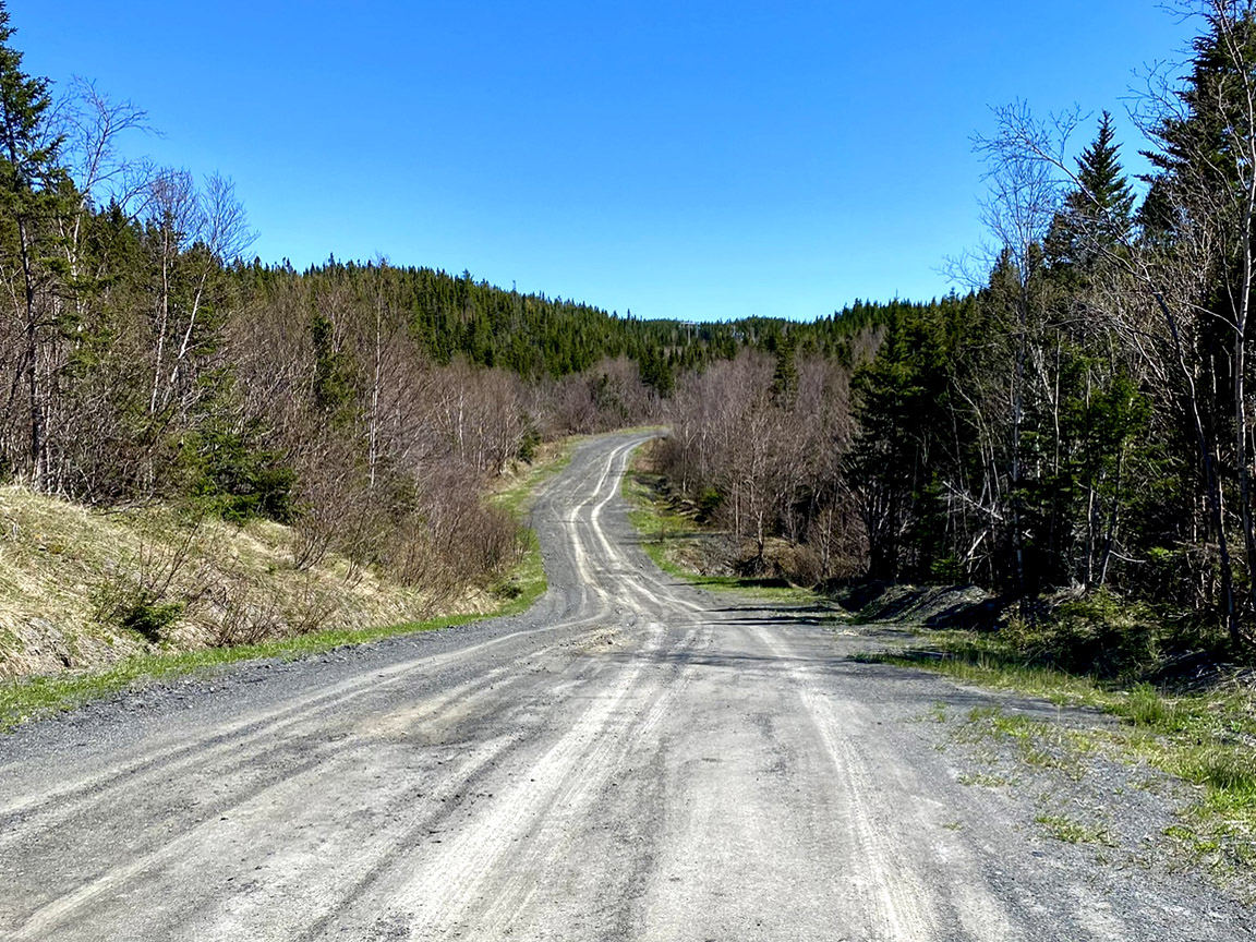
After the trail ends on the power line road linking Frenchman’s Cove to Salt Water Road, hikers must turn left and walk 170m (558ft) until they reach Salt Water Road. At this point, they must take another left and walk 1.2km (3/4 mile) up Salt Water Road to the trailhead and parking area.