Skip to content Skip to sidebar Skip to footer

A Blow Me Down Trek

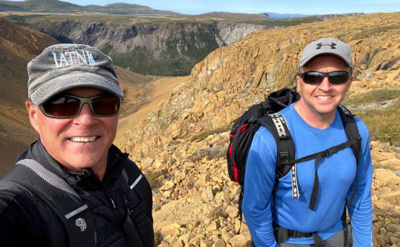
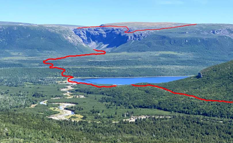
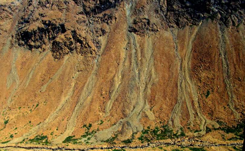
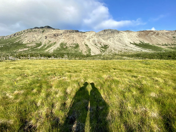
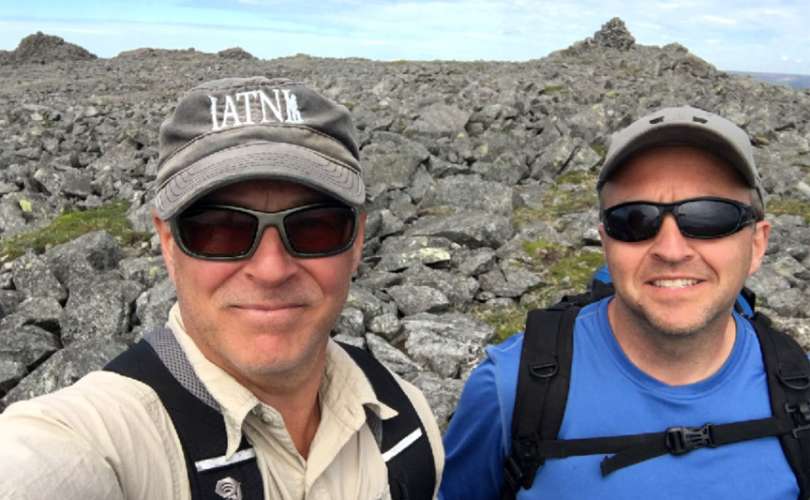
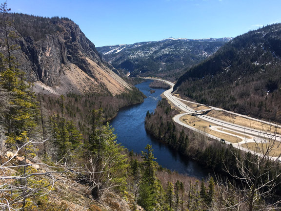
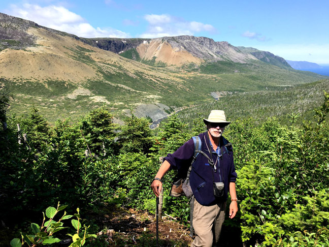
On September 16, IATNL directors Paul Wylezol and Delano Pittman set off from Benoit’s Cove on a trek across the Blow Me Down Mountains to fine tune some Cabox Geopark hiking routes and identify points of interest. After a 3km drive up Webcon forestry access road, then a ford of Clark’s Brook, Paul and Delano scrambled up over a peridotite scree field on their way to the top of the mountains. Once on top, the landscape changes considerably to low rolling serpentine barrens with occasional patches of low grass and puddle strewn wetlands.

Mapping a New Route Along Simms Gulch’s East Rim

As one of the most spectacular and remote canyons on the island of Newfoundland, Simms Gulch on the south side of the Blow Me Down Mountains requires inclusion on any diehard adventurer’s bucket list. Located above the northwest corner of Serpentine Lake, it is accessed by gravel logging road after a 1.5 hour drive from either the Trans Canada Highway or town of Mount Moriah on the south side of the Bay of Islands. In the 1960s this pristine wilderness area, along with the northeast corner of the Lewis Hills, was held in reserve for a major provincial park. However with the designation of Gros Morne National Park surrounding nearby Bonne Bay, the plan was abandoned and the

Scouting a New Route Along Wheelers Gulch’s East Rim

On August 17 after an unusually long dry spell in Western Newfoundland, IATNL/CABOX Director Paul Wylezol set off from the Lewis Hills Trail’s northern trailhead in search of a hiking route to the east rim of Wheelers Gulch on the northeast corner of the Lewis Hills, then returned via the relatively dry Blue Hill Brook that flows north along the base of the mountains into the western end of Serpentine Lake near its outflow into Serpentine River. After walking the trail up through the forest and above the tree line at the base of the “hills”, Paul turned left (south) and scrambled up over rock and low scrub as he followed the course of a small stream that marks the boundary between …

Exploring the Western Blow Me Downs

Though it was a little warm for hiking, the occasional cloud and ocean breeze made for a pleasant 12-hour 23km trek into the remote western Blow Me Down Mountains on August 11. The goal was to find an access to/from the mountains below Round Hill and The Haystacks (the highest peaks on the Blow Me Downs) that would provide a 2-day east-west traverse of the hills from Benoit’s Cove via Simms Gulch. The route requires a small amount of bushwhacking and a little scree hopping, but with a few improvements will provide an intermediate level trek with great new views and more stunning geology.

In Search of St Gregory’s Cross

On the morning of July 23, IATNL directors Paul Wylezol and Delano Pittman set off in pickup truck down a gravel road just south of Trout River, heading to the remote resettled community of Chimney Cove on the gulf coast about midway between Trout River and the Bay of Islands. They were on a mission to find a hikeable route to the top of Mount St Gregory from Chimney Cove that would serve as the northern leg of a planned ST GREGORY’S CROSS one-day trek from Lower Crabb’s Brook on the north shore of the Bay of Islands to Chimney Cove, then on to Trout River at the edge of Gros Morne National Park.

Exploring a New Route to Man In The Mountain

On May 21, IATNL Directors Paul Wylezol and Delano Pittman took advantage of a beautiful day during an ideal time of year to make an exploratory bushwhacking trek up a prominent ridge in the lower Humber Valley to find a new scenic route to Arne’s Lookout, 1.6 kms (1 mile) west of Man In The Mountain above Humber River. The new 1.5 km route would begin 130ft above sea level near the current western trailhead and rise to 1110 ft, and provide spectacular new views of the Humber Valley, Humber Arm and Blow Me Down Mountains.

IATNL Directors Visit AT Southern Terminus

On March 15, IATNL Directors Arne Helgeland and Paul Wylezol visited the Appalachian Trail Basecamp in Amicalola Falls State Park near the southern terminus of the AT at Springer Mountain, Georgia. The basecamp is the starting point for south to northbound treks of the Appalachian Trail from nearby Springer Mountain to Mount Katahdin in Maine, then onward along IAT North America through northern Maine, New Brunswick, Gaspe Peninsula of Quebec, PEI and Nova Scotia to Crow Head on the tip of Newfoundland’s Great Northern Peninsula.

Report Identifies Keys to Developing Tourism

City of Corner Brook staff are stressing the importance of a collaborative tourism approach with the completion of the STAR (Strategic Tourism for Areas and Regions) Report. The report, a tourism plan developed for the Corner Brook/Bay of Islands/Lower Humber Valley region, was released publicly Nov. 18.

Humber Valley Trail part of 2020 STEEP Ultra

On September 5, 2020, nearly 200 trail runners will descend on the Humber Valley to participate in Newfoundland’s first 100-kilometer ultramarathon trail race or shorter 50km race, both including the entire length of the IATNL Humber Valley Trail from Ballam Bridge to Humber Village. The region’s first ultramarathon, STEEP ULTRA, will enable runners to “experience breathtaking ocean views, majestic rolling mountains and vast, remote landscape.”

MUN Geologist Andy Kerr on BOI Ophiolites

In 2019, MUN Adjunct Professor Dr. Andy Kerr set his sights on the Bay of Islands Ophiolite Complex, beginning with a July trek of the Blow Me Down Mountains with Cabox Aspiring Geopark Chairperson Paul Wylezol, followed by an October article entitled Exploring a Famous Ophiolite: A Guide to the Bay of Islands Igneous Complex in Gros Morne National Park, Western Newfoundland for Geoscience Canada.

City Approves Report Supporting Geopark

Cabox Geopark is one step closer to coming to fruition. After a Corner Brook city council meeting on Nov 18, the project now has the support of every community in the Bay of Islands region. The council approved and accepted the Strategic Tourism Areas and Regions Plan (STAR) report, a strategic tourism development plan for the Bay of Islands, Corner Brook and lower Humber Valley Area.

Ulster Ireland Meeting at AMC in Boston

On November 13, IAT Co-Chairs Don Hudson of Maine and Paul Wylezol from Newfoundland joined Ulster Ireland mayors Michaela Boyle (Derry City and Strabane) and Nicholas Crossan (Donegal County) at a meeting with Appalachian Mountain Club President John Judge and Conservation and Recreation Director Heather Clish at their new headquarters in Boston, Massachusetts.

Copyright © 2023 International Appalachian Trail Newfoundland and Labrador (IATNL)