For many years now, Vermont maple syrup farmer and Appalachian hiker Lew Coty has travelled to Western Newfoundland in August to spend a month exploring the Long Range Mountains, the most northerly of the Appalachian Mountain range. In 2019, in addition to making a Gregory Mountain trek with IATNL/CABOX director Paul Wylezol and a number of other shorter hikes, Lew set his sights on another hike of the West Hills between Trout River and Chimney Cove. These coastal mountains are part of the Little Port Island Arc Complex and are approximately 50 million years older than the nearby Gregory Mountains and Tablelands, the most northerly of the 480-million-year-old Bay of Islands Ophiolite Massifs. Below in his own words is Lew’s recent account of this rarely made trek.

“Chimney Cove is a remote settlement on the coast of Newfoundland, southwest of Trout River. Its inhabitants have traditionally eked out a living by fishing and raising livestock. There is a road that connects to the town of Trout River, though it quickly deteriorates into a rough ATV trail a few kilometers past Trout River Campground. Studying the topo maps of this area reveals a strip of treeless terrain adjacent to the coast. I’ve heard the locals call these barrens the West Hills, and although they can tell you all about the great snowmobiling there, I could find little information about hiking it. I have made multiple excursions exploring this seaside corridor and found it to be some of the best hiking Newfoundland has to offer. There are numerous accesses from the gravel road, a few of which I show on the map. The following is a brief description of what you might find traversing these coastal hills.
There is a short hike to the Old Man rock formation just west of the village of Trout River. Turning left just before you reach the Old Man will put you on an ATV trail that heads west into the north end of these barrens.

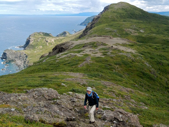
The boreal forest soon fades into grassland and hiking directly to the coast will bring you to Big Cove Head, which offers striking views looking up and down the coast, as well as into the Trout River Pond Fjord.

Proceeding south from here is best accomplished by hiking through the grasslands further inland to the east, but as the grasslands taper out, hiking closer to the ocean becomes the preferred route.

If you are hoping for some nice sandy beaches you’ll have to wait for Chimney Cove, as the hiking here is along bluffs that drop precipitously into the ocean.

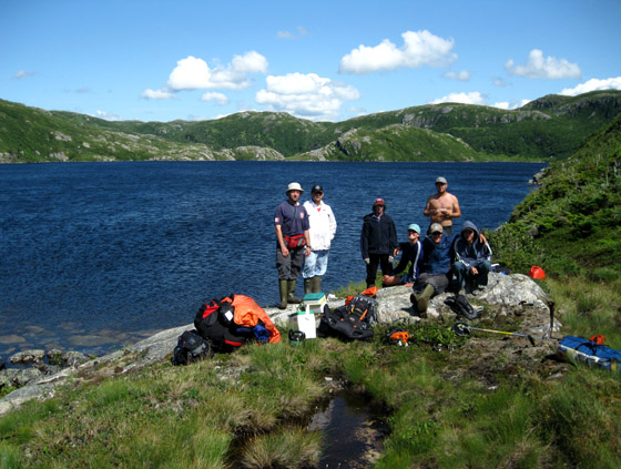
Small highland ponds show themselves everywhere

and a few drop their load directly over the seaside cliffs.

For more on the story, go to the Cabox Geopark website.


