Skip to content Skip to footer
IATNL
  • Home
  • About
  • Trail Routes
  • Thru-Hikers
  • Basecamp
  • Galleries
  • Contact
  • Geopark
  • IAT Int’l

Blow Me Down East Traverse

IATNL
  • Home
  • About
  • Trail Routes
  • Thru-Hikers
  • Basecamp
  • Galleries
  • Contact
  • Geopark
  • IAT Int’l

The IATNL Blow Me Down East Traverse is a 27km (16mi) north-south traverse of the eastern side of Blow Me Down Ophiolite Massif, located approximately 10kms (6mi) west of the city of Corner Brook on the south side of the Bay of Islands.

Click the appropriate box below for more information.
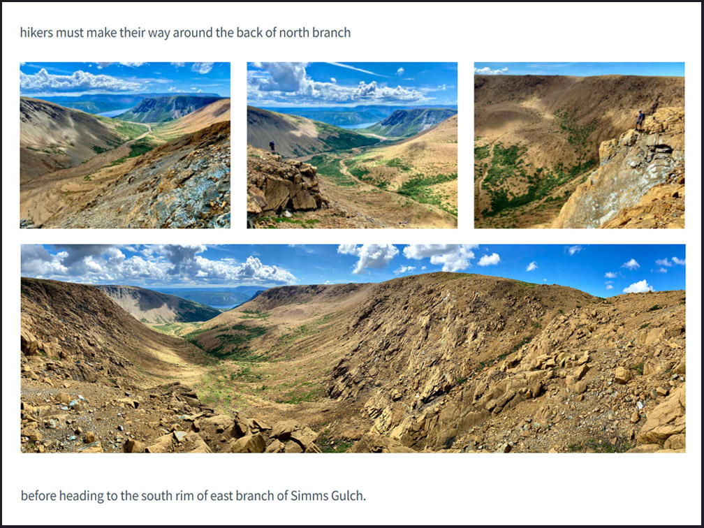
Trail Route Description

Click here for detailed trail route description
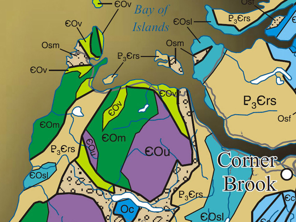
Geographic Information

Click here for info on the Blow Me Down Mountains
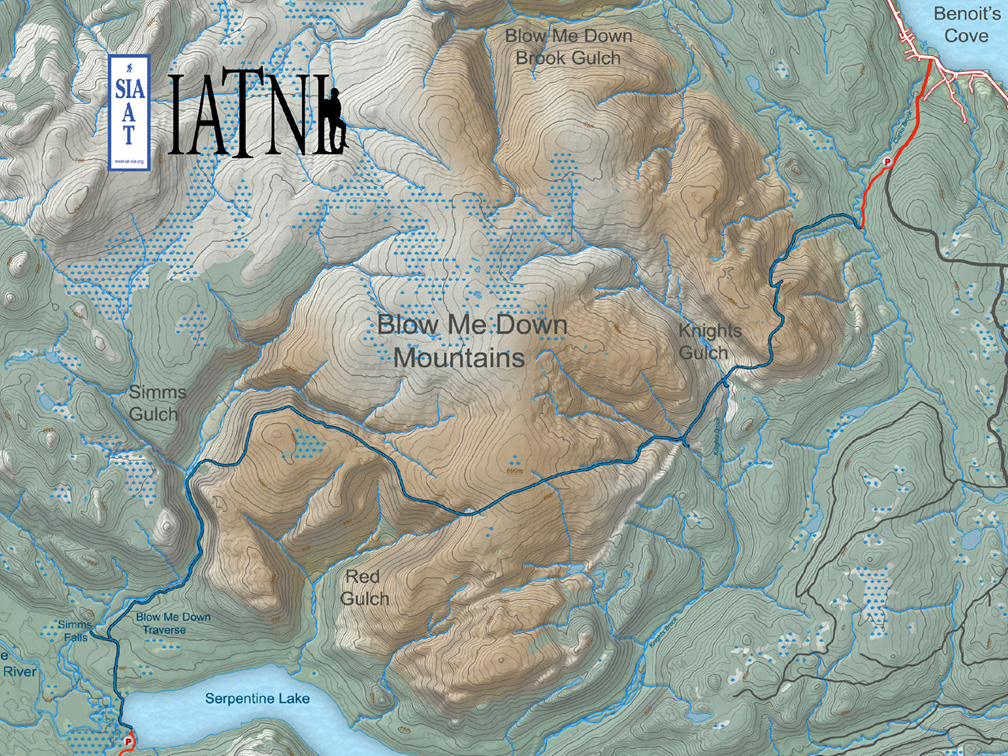
Topographical Map

Click here for trail route topo map

Details & Directions

Click here for summary details and directions
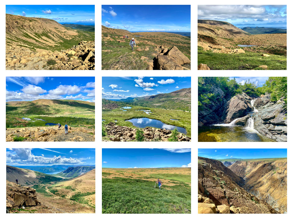
Photo Gallery

Click here for Trail Route Photos
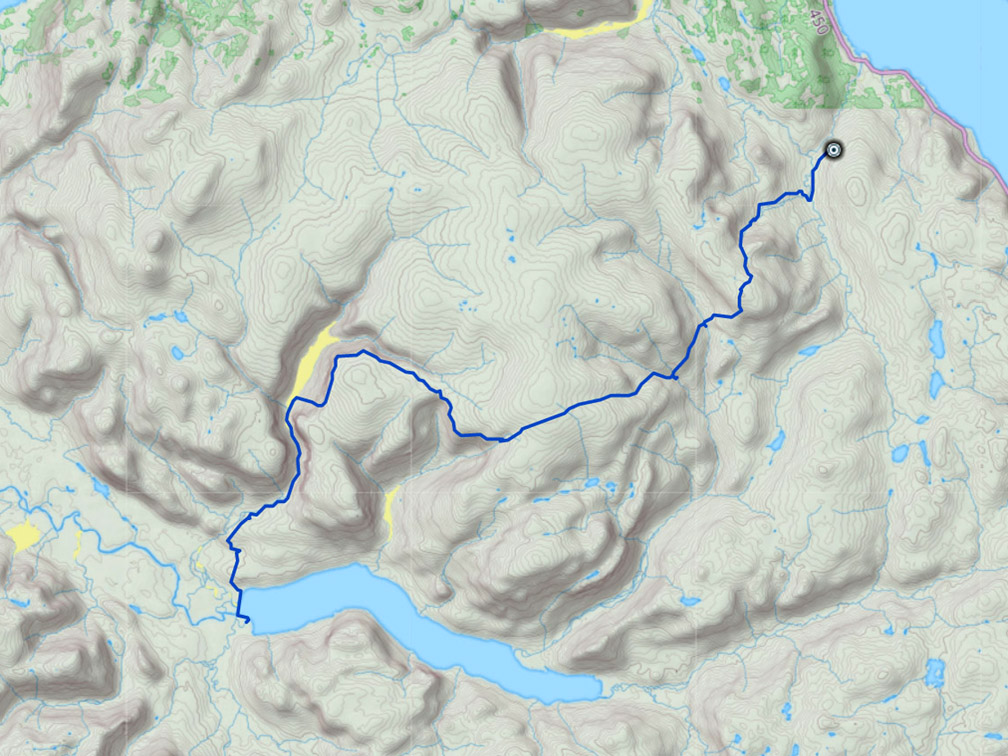
GPS Track

Click here for trail route GPS Track

Select trail route in left column to locate trail route on map, then zoom out.  (Click “Map” at top left of map to select Terrain Map)

Loading
I have consent to use Google Maps and having this website store my submitted information so they can respond to my inquiry Privacy Policy

ACCEPT
 
Filters
Trail Routes & Regions
Cancel
Select
 
Placeholder store name.
Placeholder address.
Get Directions Street View

Trail Routes


Placeholder store name
Placeholder for address
Website
Website
Website placeholder
Email
Email
Email placeholder
Telephone
Telephone
Telephone placeholder
Fax
Fax
Fax placeholder
Description
Description placeholder
Operating Hours
External URL
Ext placeholder
Contact Us
 
Get Directions Street View
Close

Close

Contact Store

Trail Route Mapper

Select trail route in left column to locate trail route on map, then zoom out

(Click “Map” at top left of map to select Terrain Map)

FacebookYoutube

Copyright © 2023 International Appalachian Trail Newfoundland and Labrador (IATNL)