Like the Blow Me Down Traverse, the Blow Me Down East Traverse is a north/south trek across Blow Me Down Ophiolite Massif, and though the southern terminus of both is the western end of Serpentine Lake via Simms Gulch, the northern terminus of the Blow Me Down East Traverse is the backcountry access road that intersects Route 450 near Clarks Brook in Benoit’s Cove.
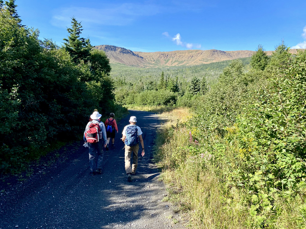
Unlike the BMD Traverse which crosses the center of the massif more or less on the dividing line between the rust-colored (i.e. oxidized) peridotite of earth’s mantle to the east and light grey gabbro of ocean floor to the west, the BMD East Traverse swings east and crosses primarily peridotite along the eastern flank of the mountains.
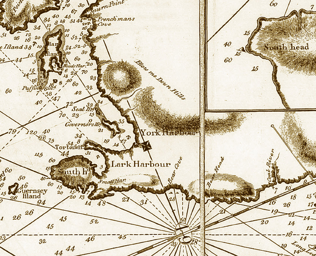
Whether east, west, or center, the “hills” were named “Blow Me Down” on renowned explorer, surveyor and cartographer James Cook’s Chart of the West Coast of Newfoundland published in 1768, the year Cook was selected by the British Admiralty and Royal Society to command a voyage to the South Pacific to witness the transit of Venus and search for the fabled southern continent. Cook charted the region the previous year and observed that “winds blow here sometimes with great Violence Occasioned by the nature of the land, there being a Valley of low land between this Harbour and Coal River [Serpentine River] which is bounded on each side with high hills, this causeth these winds to blow very strong over the low land.”
Though Cook and his contemporaries pre-dated the scientific theory of plate tectonics by 200 years, the sections of earth’s mantle and oceanic crust that he mapped here were forced to the surface during the closing of the Iapetus Ocean approximately 500 million years ago.
In the north, the 27.5km (16.5mi) Blow Me Down East Traverse begins approximately 170m (558ft) above sea level, then rises to a height of 670m (2,198ft) between Red Gulch and Knights Valley, before descending into and out of Simms Gulch and ending at an elevation of 50m (164ft) at the western end of Serpentine Lake, with its terrific view of the north end of the Lewis Hills.
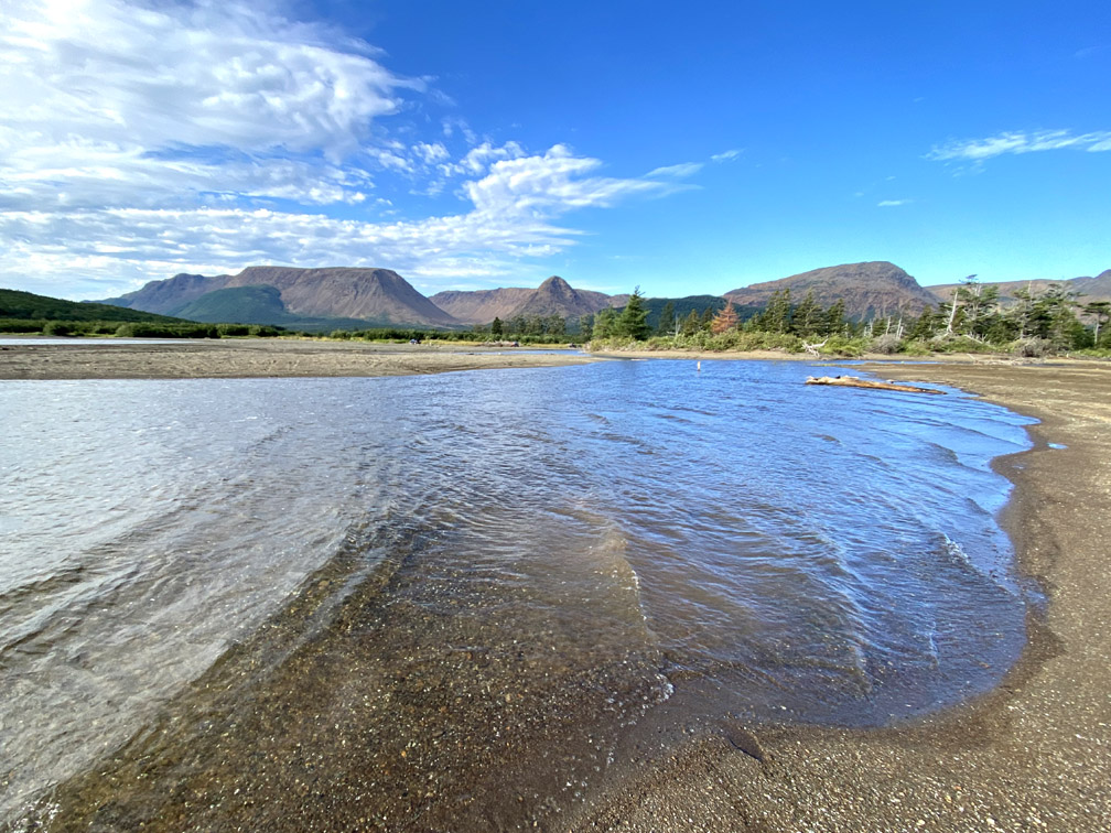
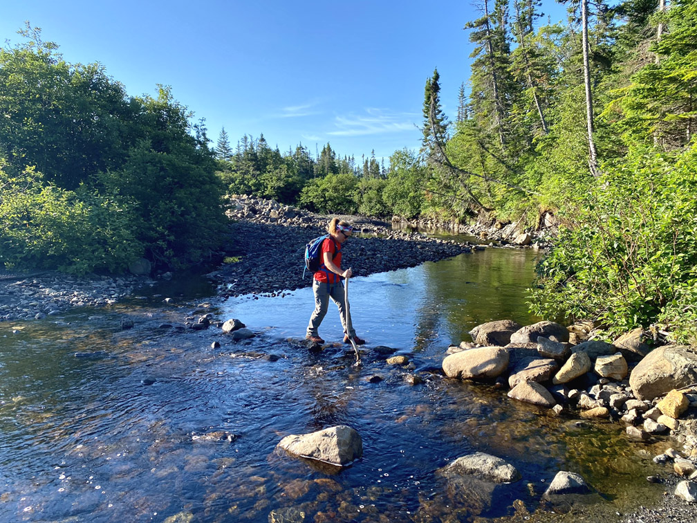
After traveling 2.5km (1.5mi) up the gravel backcountry access road from Route 450 at Benoit’s Cove then walking down the 1.5km Benoit’s Cove water supply road to Clarks Brook, hikers must cross the at-most-knee-deep stream
before walking 1.3km up an eroded but easily walkable excavator track to a not-too-wet wetland near the base of the Blow Me Down Mountains.
Once across or around the wetland, hikers follow a short trail through thin scrub and across a small brook until they reach an elevation of 320m (1,050ft), then weave their way around rock and scrub and cross the brook again
before scrambling up over a 100m (328ft) high boulder scree field
to reach the 510m (1,673ft) high protruding headland which provides spectacular profile views of the eastern flank of the Blow Me Down Massif.
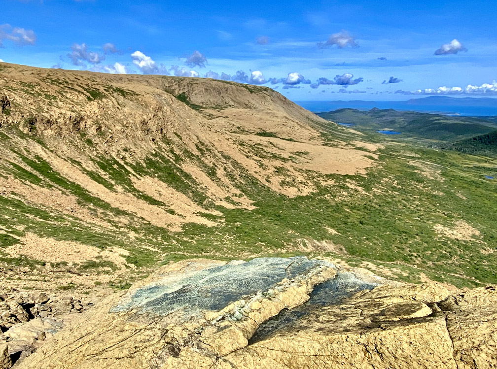
After passing a small pond at the back of the headland
the route climbs an elevation of 90m (295ft) over 1km
to a 600m (1,970ft) wide plateau
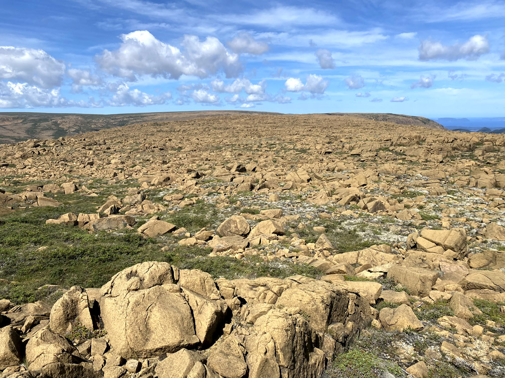
with good views of the North Arm Hills and Humber Arm, all the way to the city of Corner Brook.
At the southwest corner of the plateau, hikers begin their descent into Knights Valley where it exits the mountains and its river begins its southern course parallel to them.
Just before reaching Knights Brook, the landscape becomes green and lush
and soon the crystal clear waters must be crossed
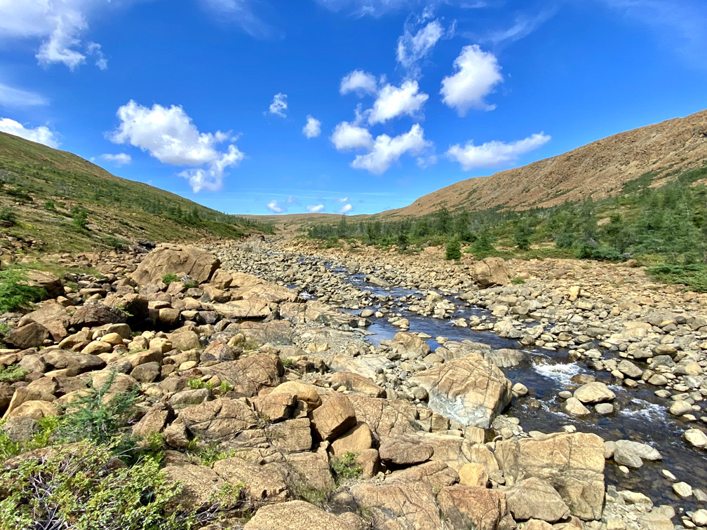
but not before looking down into one of many Knights waterfalls!
Before heading up the slope to the west, it’s well worth the extra few minutes to round the bend to catch a glimpse of – and maybe take a dip in – the pretty yellow green pool below a tripartite waterfalls.
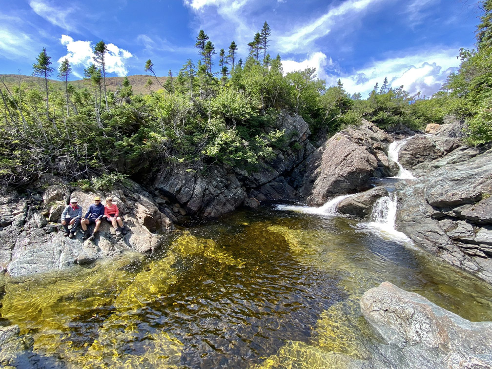
But if it’s too early to take a refreshing dip, it’s just another 1.5km up and over the base of the adjacent mountain
to an equally pretty waterfalls and pool in another pristine mountain stream.
From here the trail route turns west and follows the stream inland to the top of the mountain
then immediately begins a descent into the back end of the east branch of Red Gulch.
Red Gulch is not to be confused with Red Rocky Gulch, which is across Serpentine Valley on the north end of the Lewis Hills and is visible from Red Gulch.
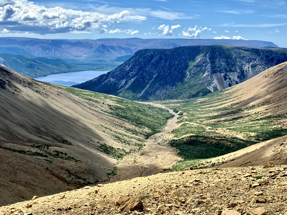
After taking a rest, lunch or cool dunk in the little pool in east branch brook
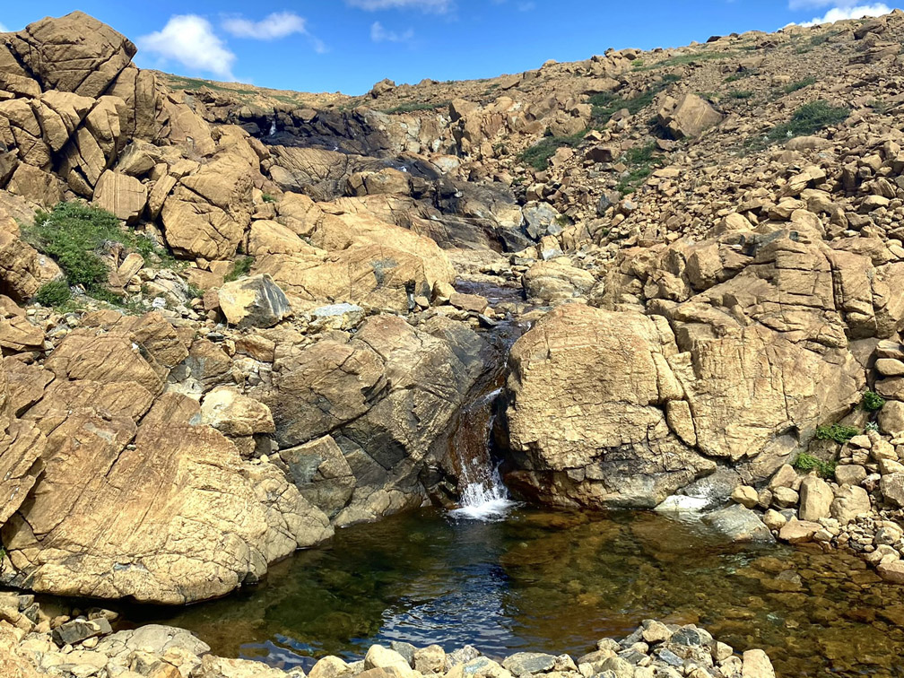
hikers must make their way around the back of north branch
before heading to the south rim of east branch of Simms Gulch.
Also known as Chicken Gulch because of the exaggerated risk of rock falls on anyone who attempts to walk through it
Simms’ East Branch is challenging but passable, and intersects the main gulch near the base of the scree slope between it and North Branch, with the slope being on the route of the IATNL Blow Me Down Traverse.
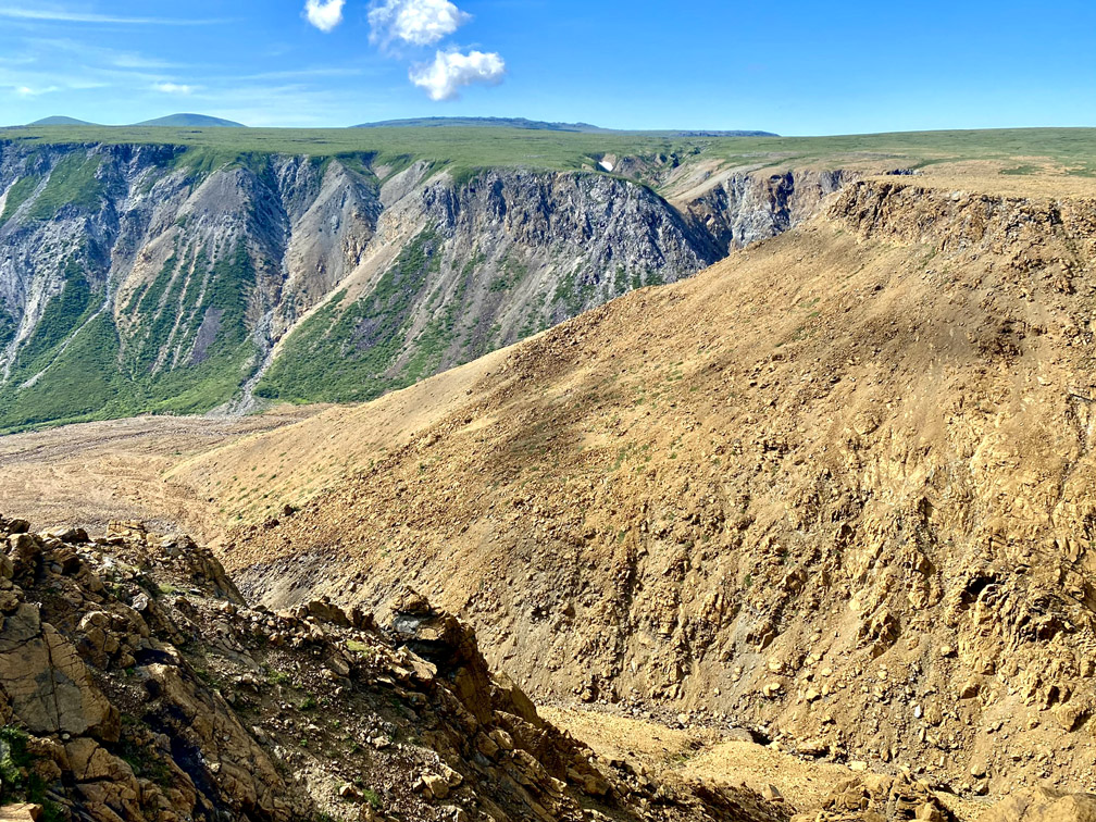
Once at the intersection with Simms’ main gulch, the route turns south and follows along the east rim
until it reaches a less steep slope approximately halfway into the gulch
which hikers must descend to the gulch floor 300m (984ft) vertical below.
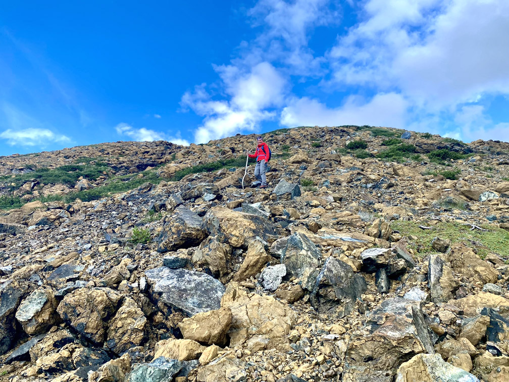
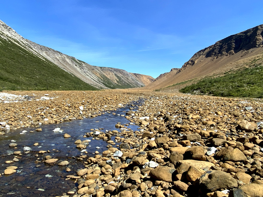
Whether during the hike along the east rim or after descending into the gulch, at some point it becomes clear that Simms Gulch bisects a unique landscape of rust-colored rock (i.e., peridotite from earth’s mantle) to the east and light-gray rock (i.e., gabbro from the oceanic crust) to the west.
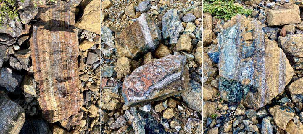
Here, as well as in Blow Me Down Brook Gulch to the north, one can find the geological boundary between oceanic crust and earth’s mantle known as the Mohorovičić Discontinuity, or Moho, named after the Croatian seismologist who discovered it by identifying a change in the seismic waves velocity from the crust to the uppermost mantle within the lithospheric plate. It can usually be identified by a colorful layer-cake banding in the rocks, including gray, rusty orange, and a variety of other colors and shades derived from the various rock types and metamorphic changes found within the rocks.
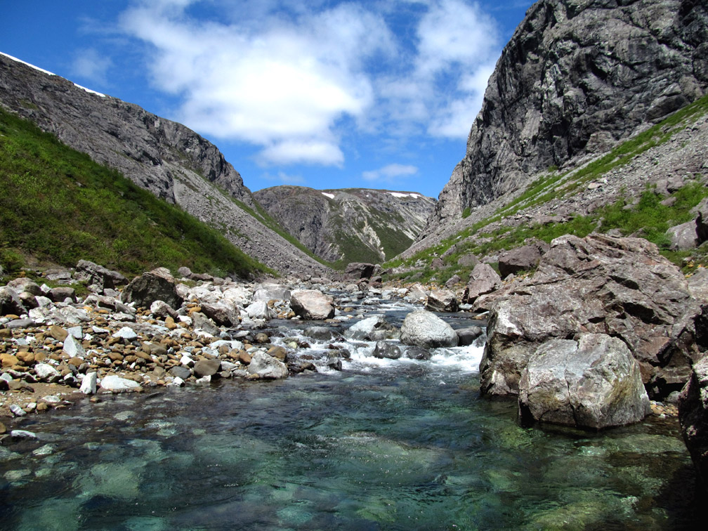
Heading south out of the gulch, hikers soon notice a cleavage in the canyon wall that reveals a cascading series of waterfalls that drains much of the high country to the west, including the last of winter’s snow cover.
Beyond that around the bend in the canyon, the geological composition of the east cliff wall changes dramatically, as now both sides are composed almost exclusively of light-gray gabbro, with a small percentage of rust-colored boulders washed down from the peridotite cliffs inside the canyon.
The route follows the east side of the crystal clear brook for 2.5km (1.5mi), at times weaving around large boulders that crashed down from the canyon walls above.
It then climbs up approximately 15m (50ft) and follows a 1km path along the raised embankment overlooking the brook
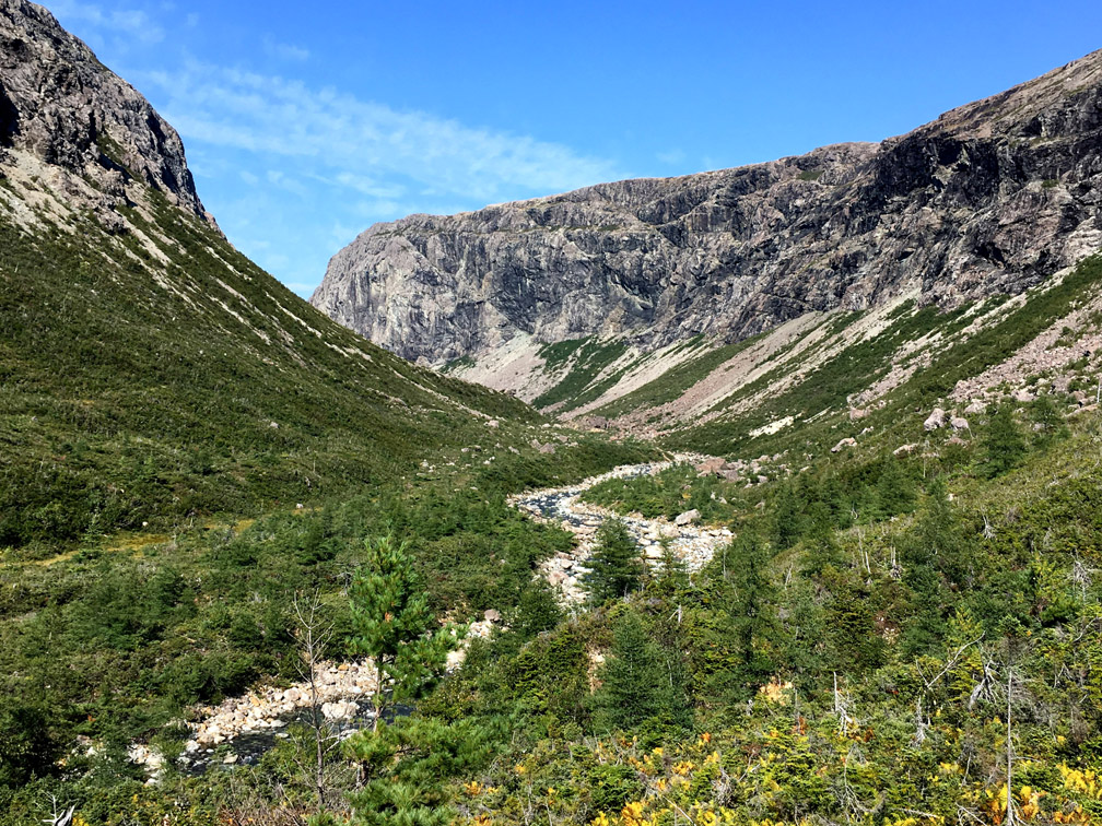
before crossing a dry barrens and picking up a 2km long forest trail that leads to Simms Falls (via a short side trail)
and the western end of Serpentine Lake.
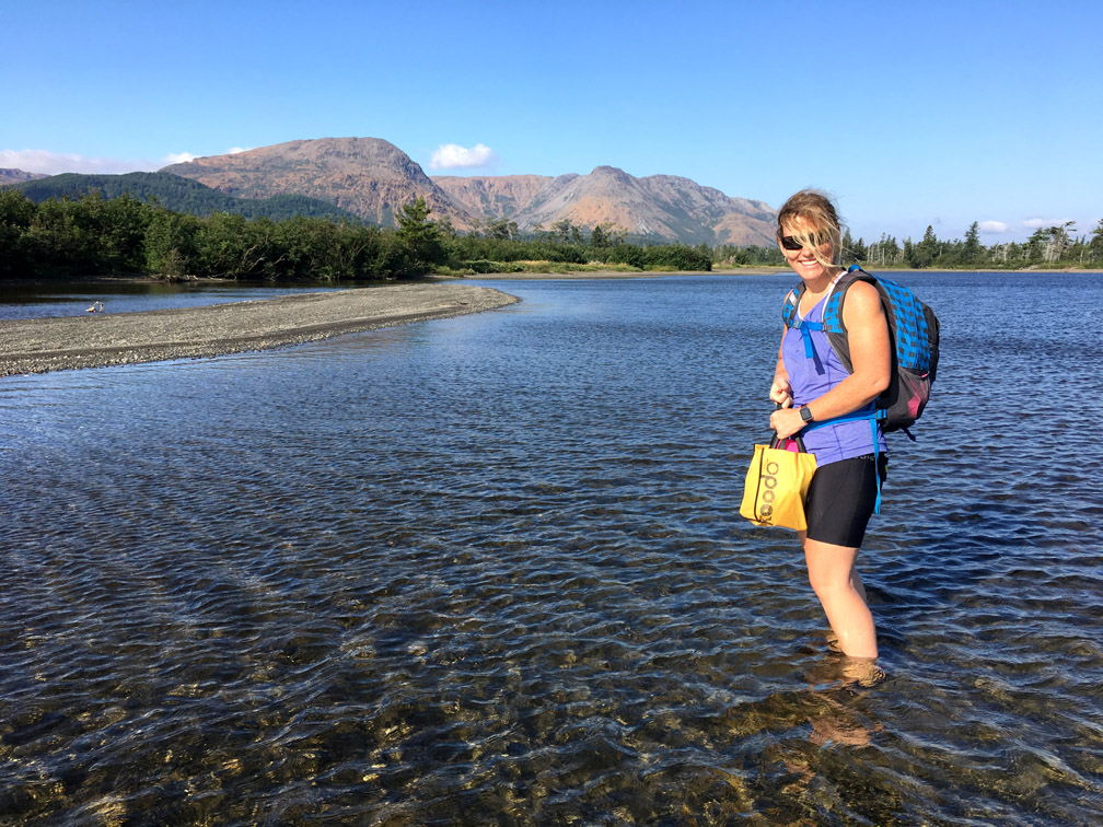
The final 1km of the trek is around the shore (or in the lake if the water level is high) and across knee-deep Serpentine River to the end of Serpentine Logging Road, at the end of Blue Hill Brook.
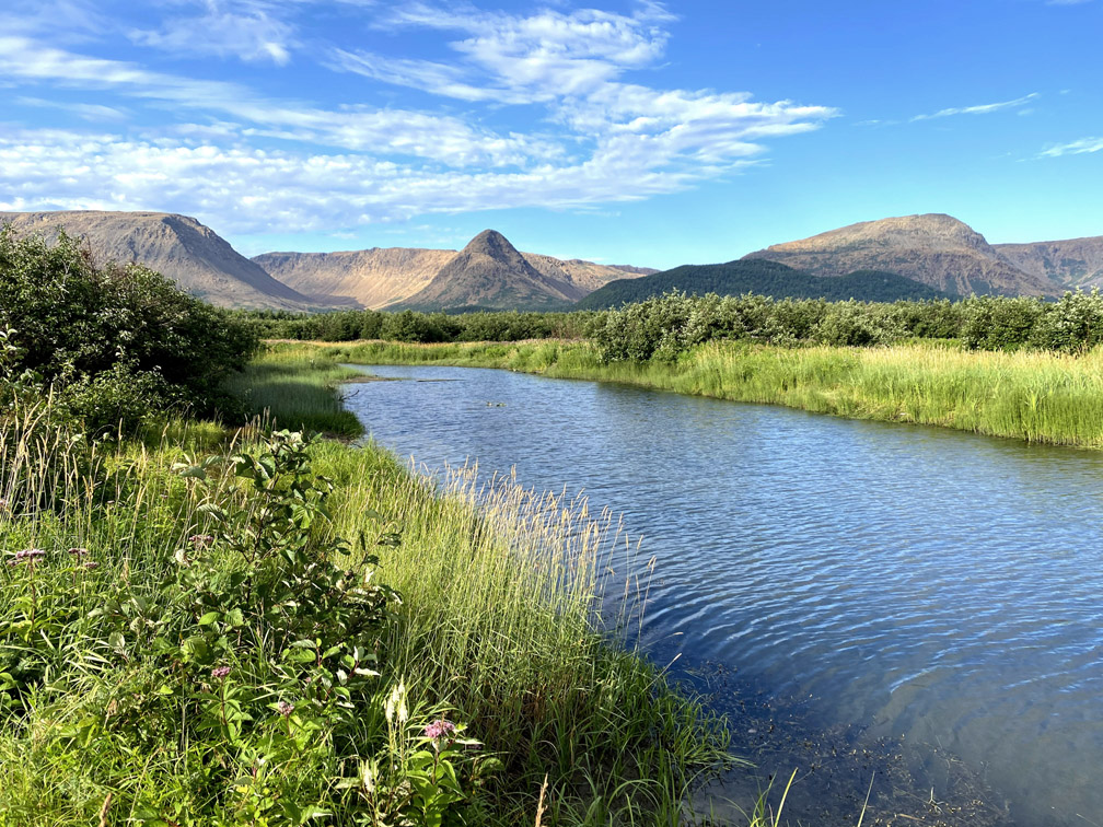
This is a ideal spot to reflect on the majesty of the Blow Me Down Mountains and look ahead to the beauty and challenge of the IATNL Lewis Hills Trail!