January 2013 marks the introduction of two new website series on the Natural and Cultural Heritage found along the International Appalachian Trail, from eastern North America to Western Europe. The IAT Natural Heritage series will showcase concise illustrated stories on both nature and geology, while the IAT Cultural Heritage series will include stories on e.g. human history, art, and architecture.
This first piece on IAT Natural Heritage by Beyond Ktaadn's Mike Jones (IAT North America Alpine Ecologist), Liz Willey, and Marilyn Anions was excerpted and adapted from their new Eastern Alpine Guide, and is titled:
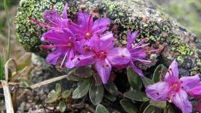
Common Alpine Plant Species along the IAT in North America
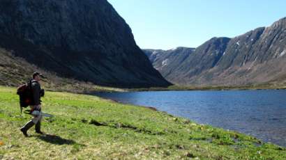
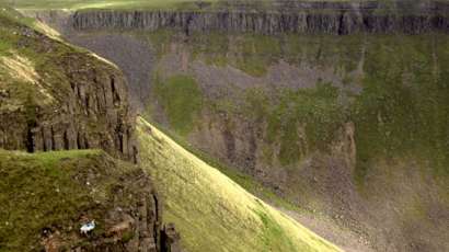
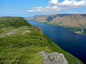
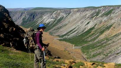
From a botanical perspective, one of the more striking differences between the Appalachian Trail (in the strict sense, from Georgia to Maine) and the International Appalachian Trail (the corridor from Katahdin to the Great Northern Peninsula of Newfoundland) is the diversity and extent of alpine tundra ecosystems found along the latter (Figure 1).
Figure 1. Extensive alpine and subalpine plant communities occur along the length of the IAT in Maine, Québec, and Newfoundland. (Mont Logan, Québec)
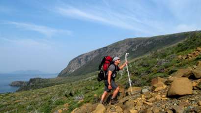
While the AT traverses notable tundra areas on Mount Moosilauke, Franconia Ridge, and the Presidential Range in New Hampshire, and Katahdin in Maine, the IAT not only traverses Katahdin, but also cuts across tundra communities along the Mont Chic-Chocs and Mont Albert and Mont Jacques-Cartier and the Monts McGerrigles in Québec, and Table Mountain, the Lewis Hills, Blow Me Down, the North Arm Hills, the Long…