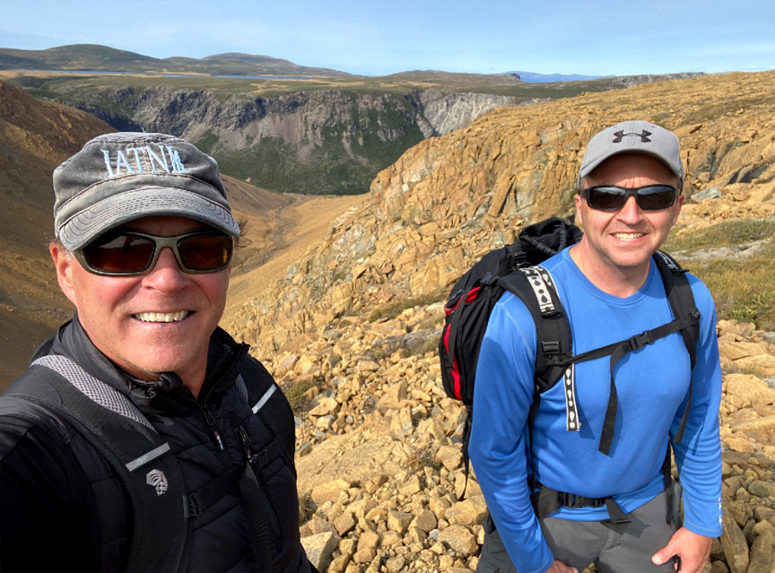
On September 16, IATNL directors Paul Wylezol and Delano Pittman set off from Benoit’s Cove on a 29km looping trek across the Blow Me Down Mountains to fine tune Cabox Geopark hiking routes and identify significant points of interest.

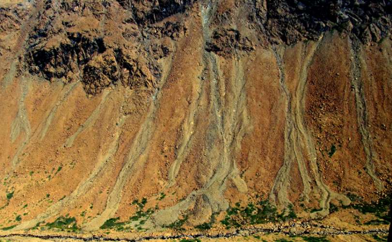
After a 3km drive up Webcon forestry access road, then a ford of Clark’s Brook, Paul and Delano scrambled up over a peridotite scree field on their way to the top of the mountains.

Once on top, the barren landscape changes considerably, to low rolling serpentine barrens with occasional patches of short grass and puddle-strewn wetlands.


Heading in the direction of Simms Gulch, it wasn’t long before they reached the headwaters of Knight’s Brook

where hikers will find a series of cascading pools ideal for a refreshing dip on a hot summer day.


There’s a pleasant sheltered spot here on the north bank of the brook to pitch 3-4 small tents for the night. But Paul and Delano pushed on, as they only prepared for a day-hike.

From the brook they began a gradual 2km climb to the plateau between Knight’s Gulch, the south branch of Blow Me Down Brook Gulch, and Simms Gulch on the south side of the mountains.

For more on the story, go to the Cabox Geopark website.