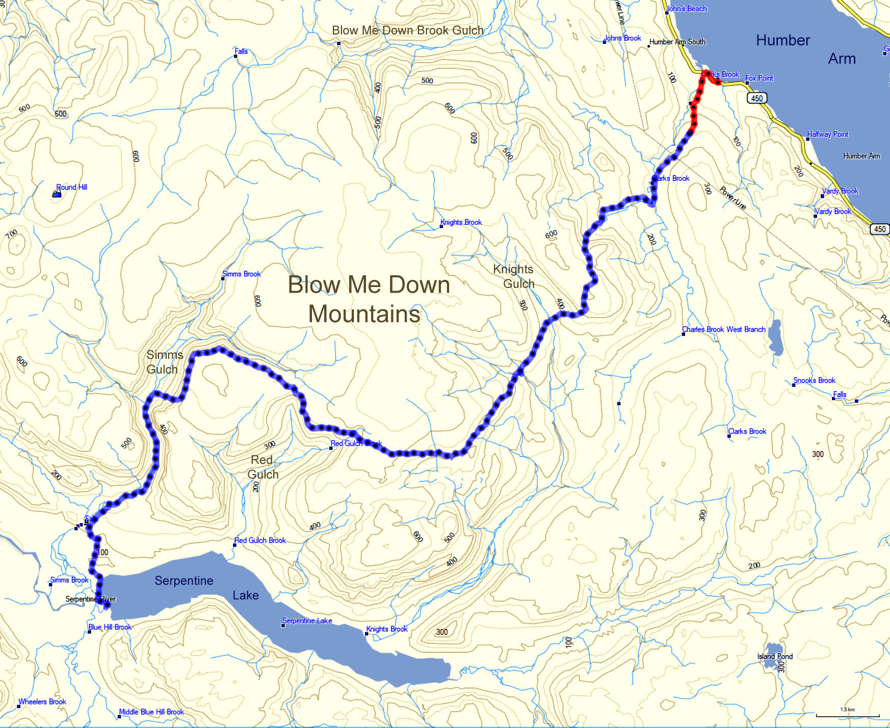
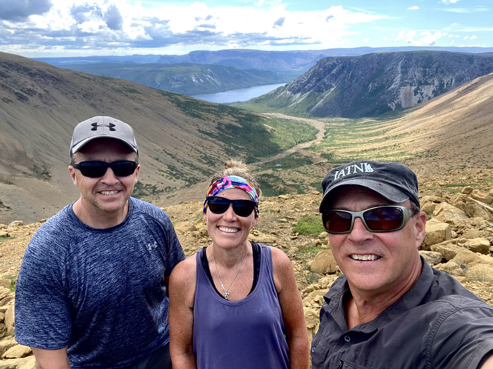
In the early morning of July 28, IATNL executive members Paul Wylezol, Delano Pittman and Ulrica Murley-Pye set off on a north to south traverse of the Blow Me Down Mountains on the south side of the Bay of Islands.
However unlike the well-established IATNL Blow Me Down Traverse through the center of the Blow Me Down Ophiolite Massif, this trek took a more easterly route that included Knights and Red Gulches.
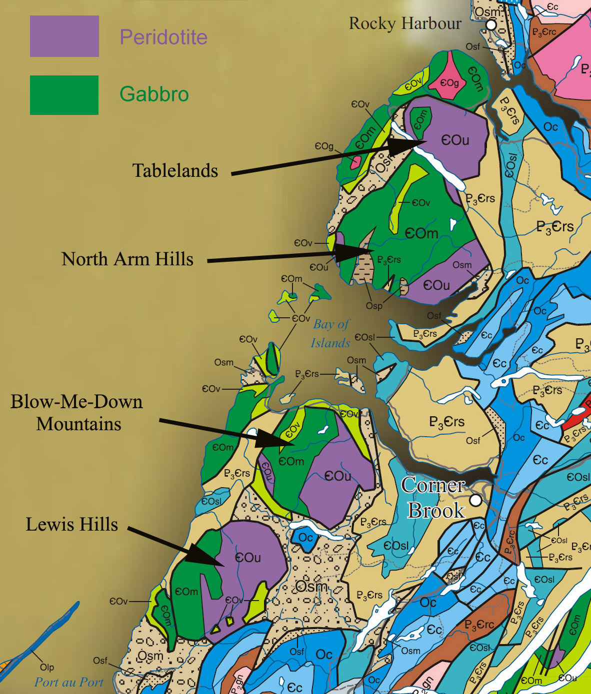
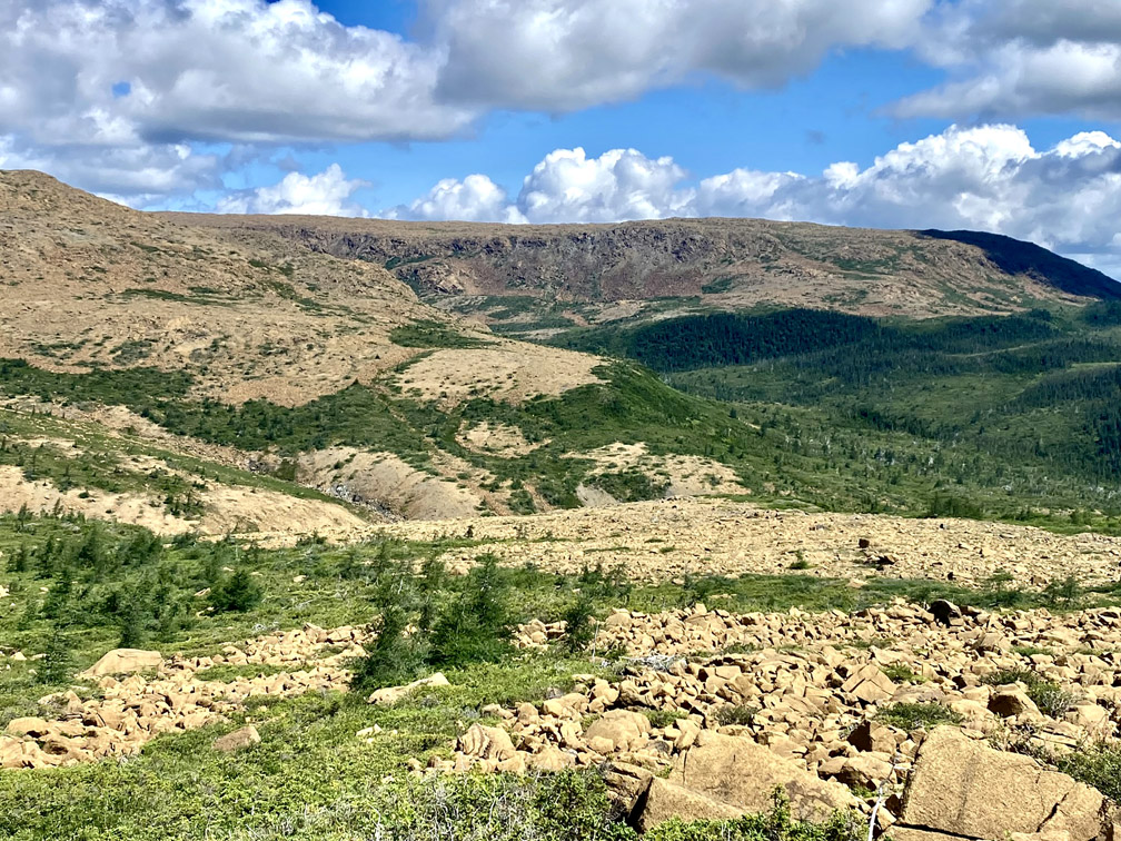
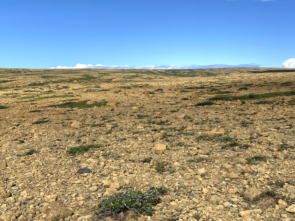
Like the other three Bay of Islands Ophiolite Massifs (i.e., Lewis Hills, North Arm Hills/Gregory Mountains and Table Mountain, aka Tablelands), the eastern side of the mountains is composed primarily of rust-colored peridotite from earth’s mantle, forced to the surface by plate tectonics during the closing of the Iapetus Ocean approximately 450 million years ago. The western side of the massifs, by contrast, is composed primarily of light-gray gabbro from the oceanic crust, which is typically found on top of the mantle at the bottom of an ocean.
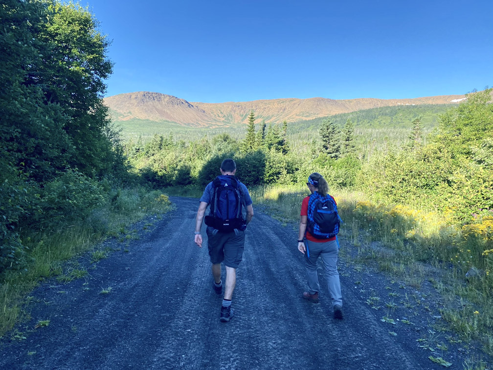
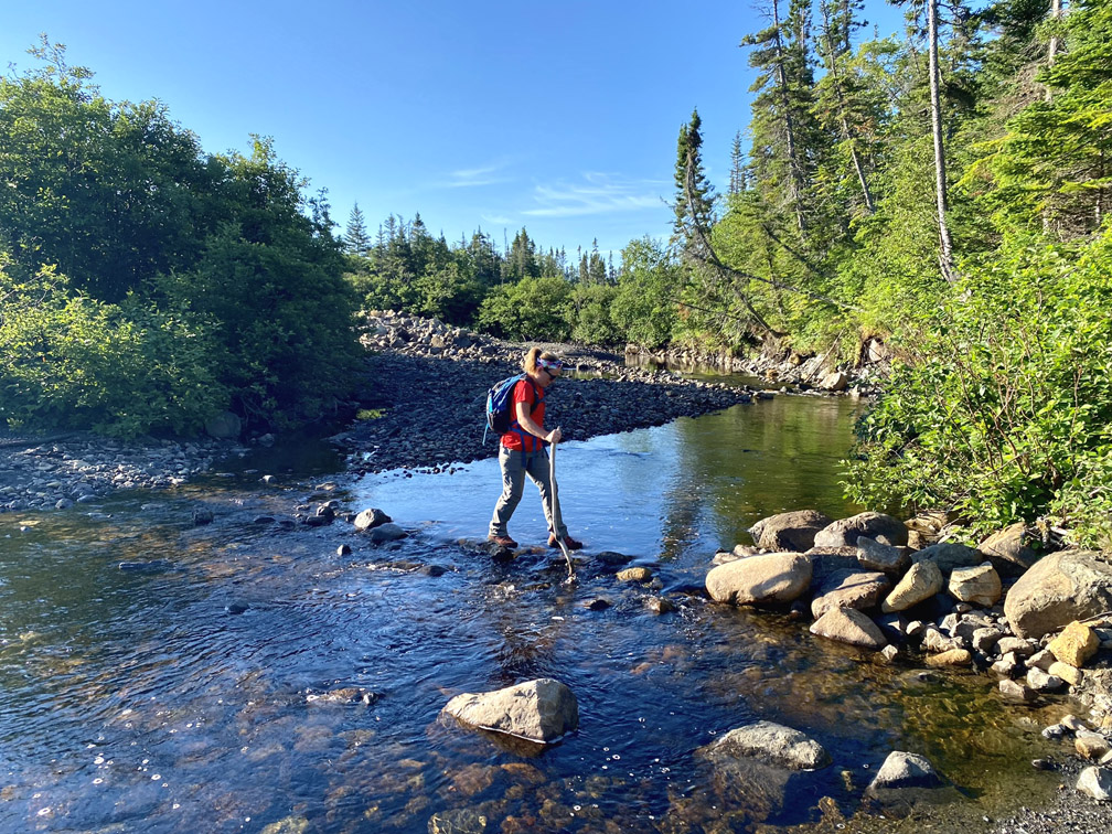
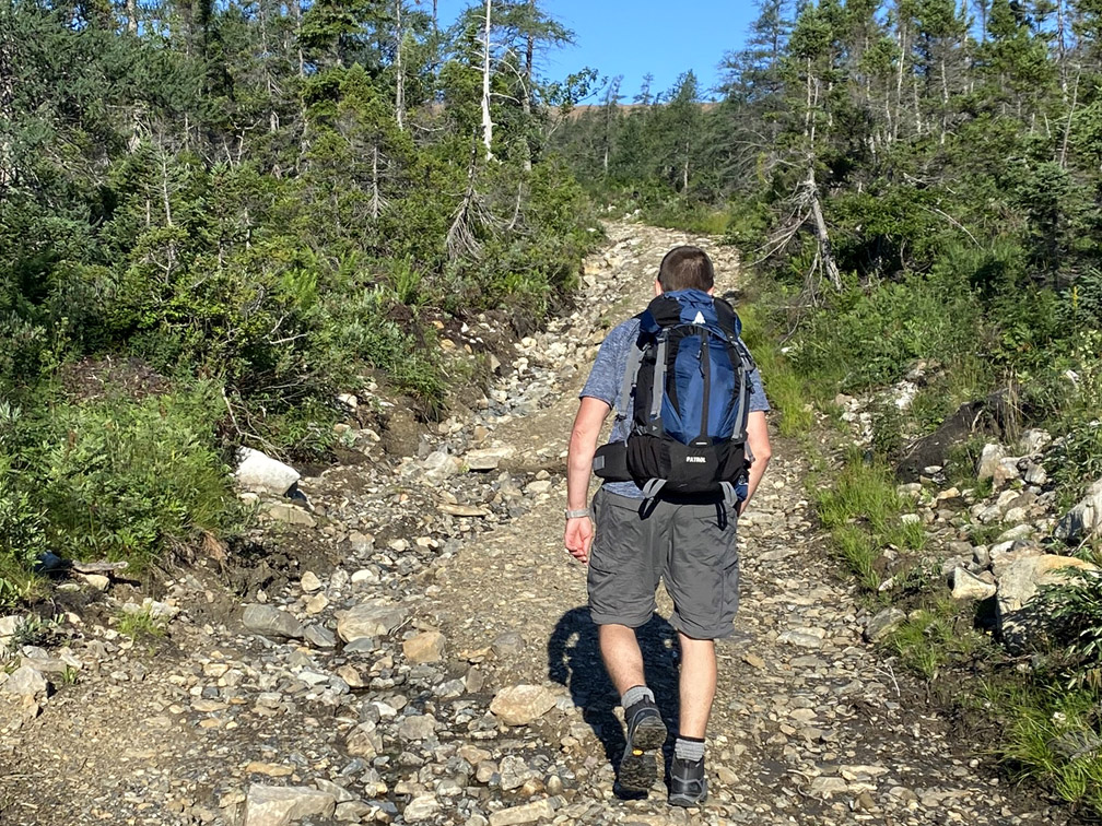
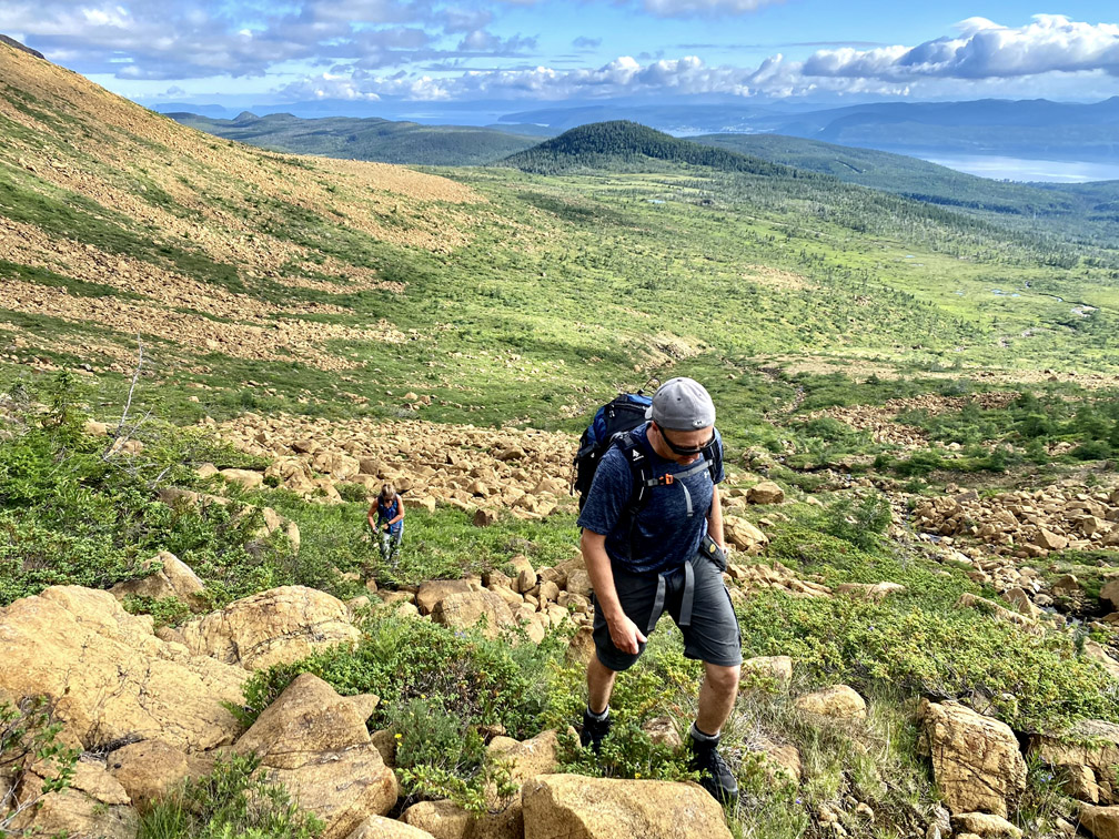
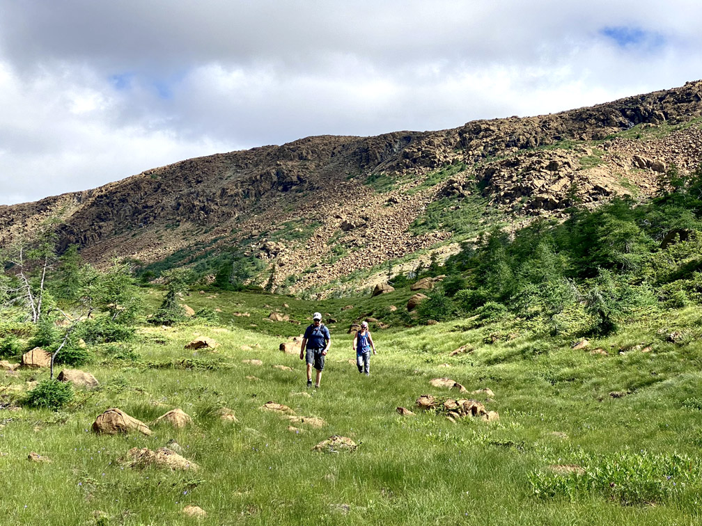
From the Benoit’s Cove water supply road south of Route 450, the trek began by crossing Clarks Brook and following a 1km excavator track to the base of the mountains.
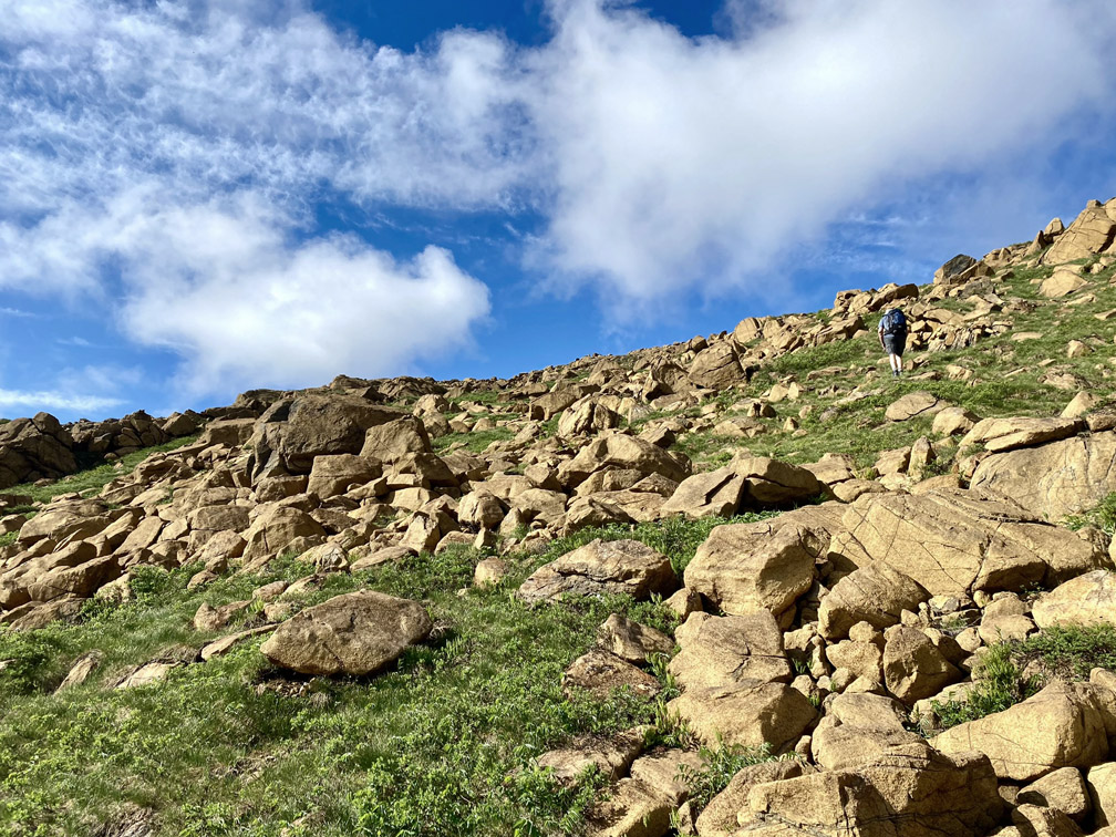
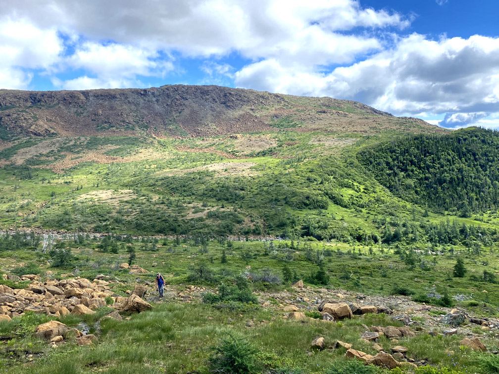
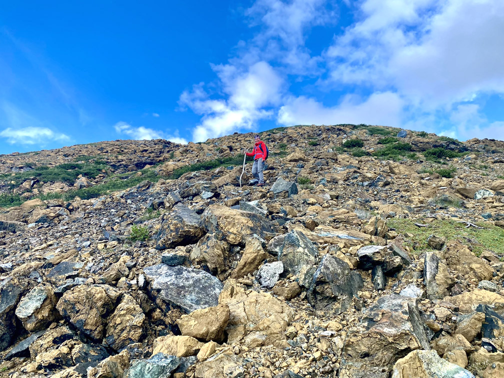
From there the trio climbed up through the first rocky gully
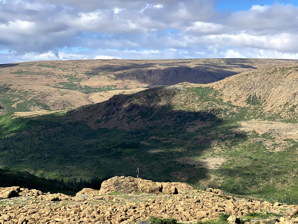
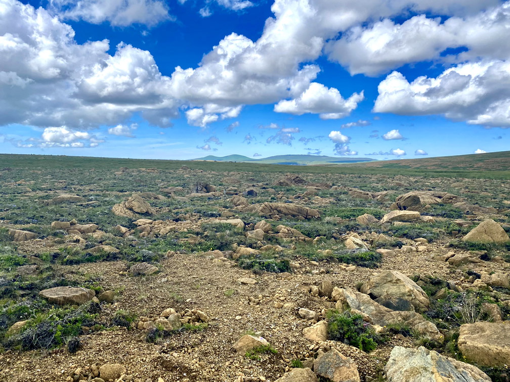
until they reached the top of a 510m high plateau jutting out from the northeastern end of the mountains.
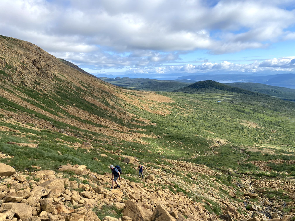
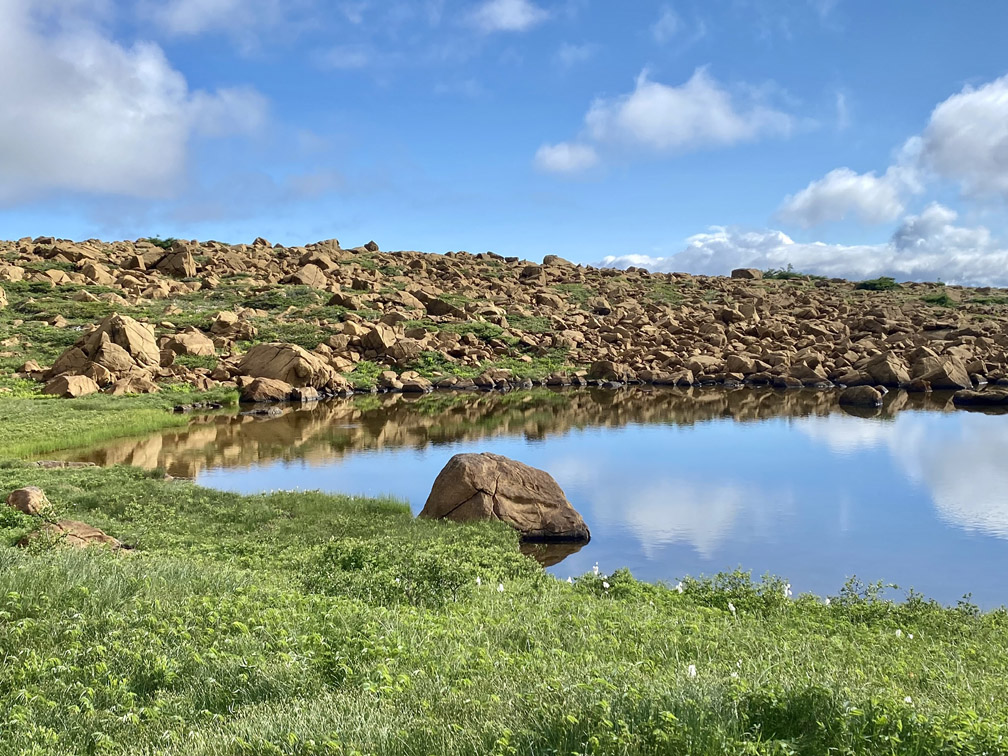
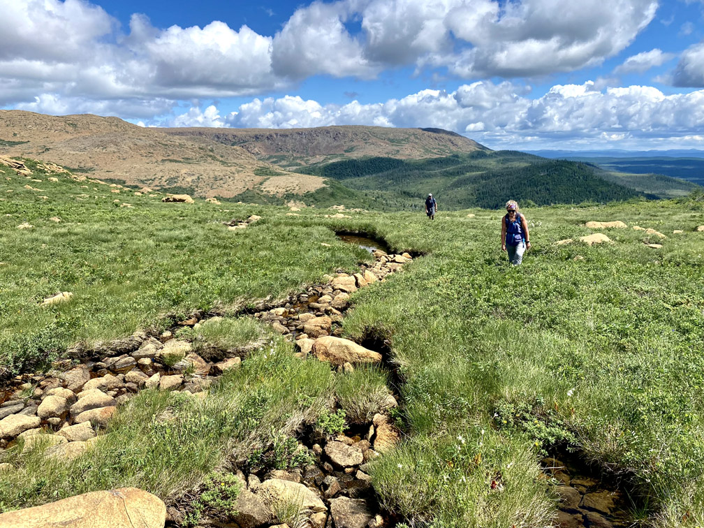
After walking around the edge of a small tranquil pond
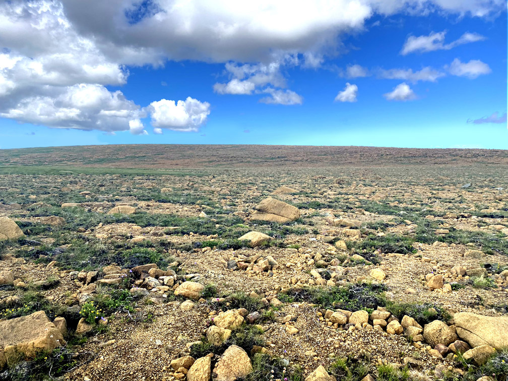
they then had to climb another 90m vertical over 1km
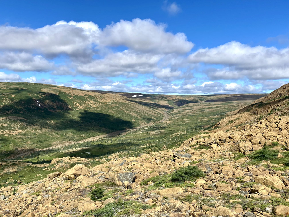
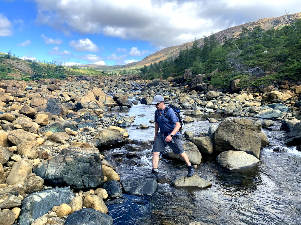
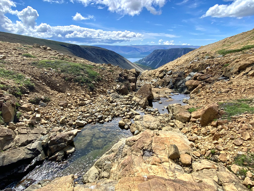
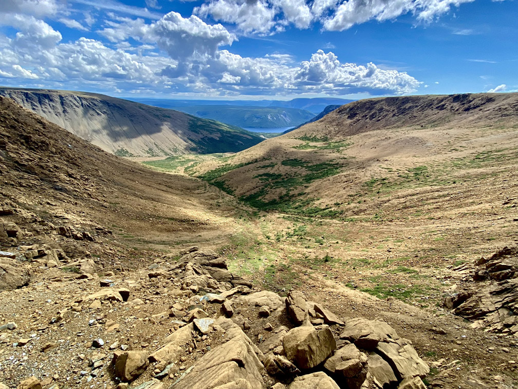
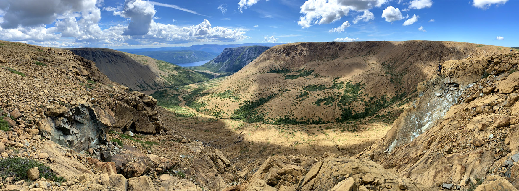
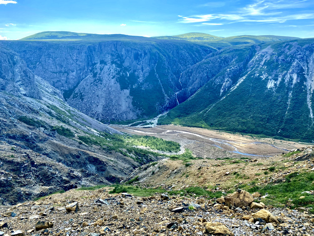
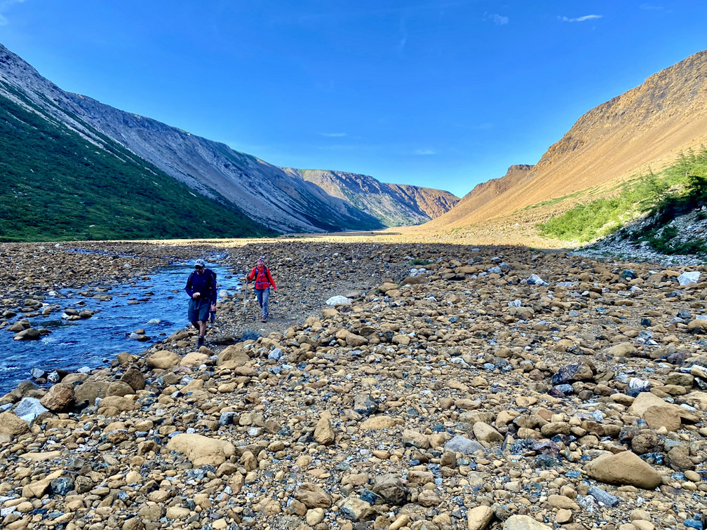
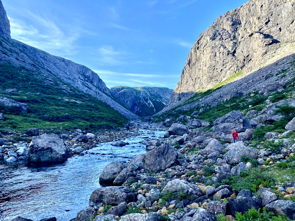
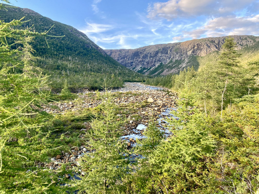
before descending into Knights Gulch near where the river exits the mountains and turns south as it flows to Serpentine Lake.
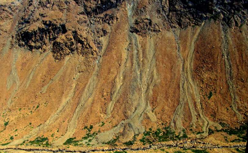
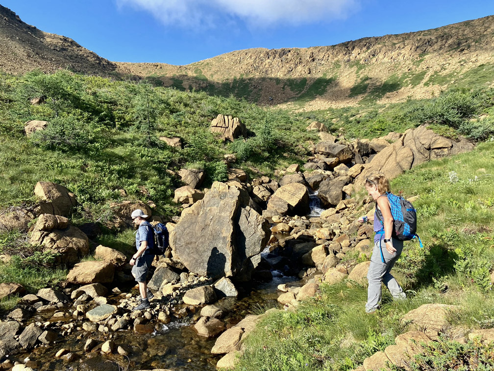
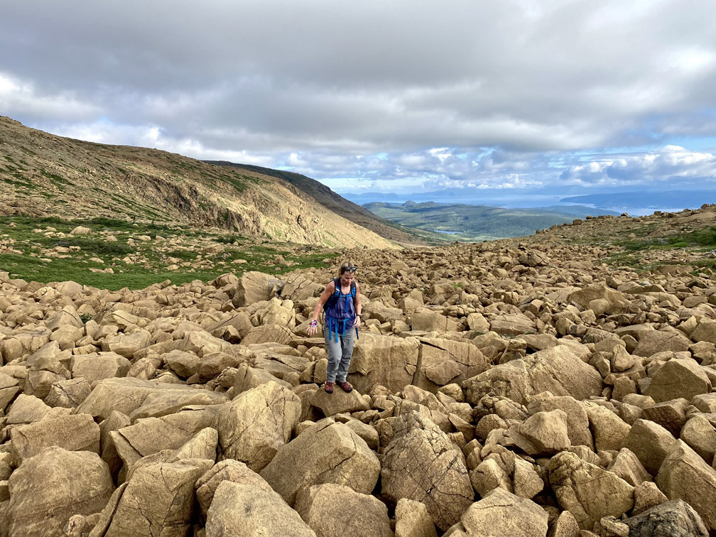
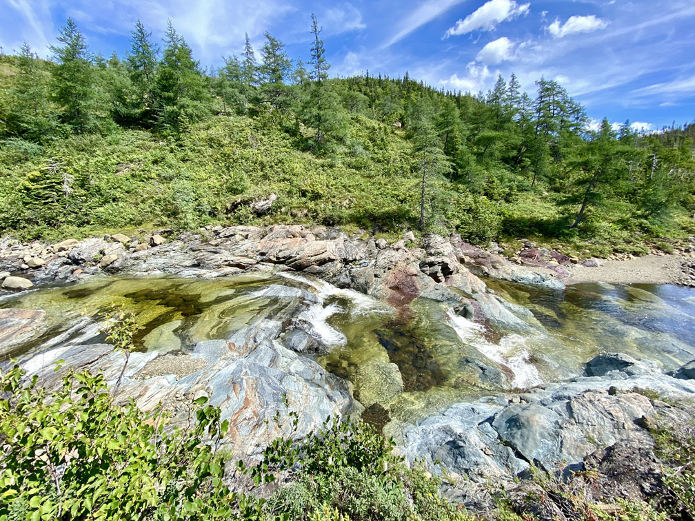
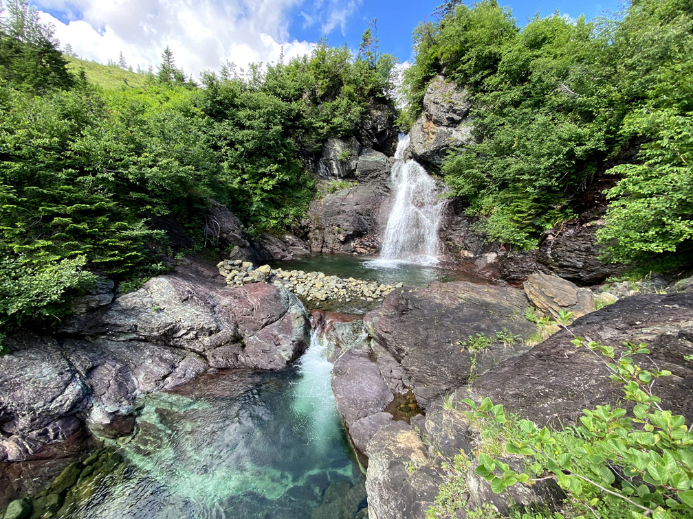
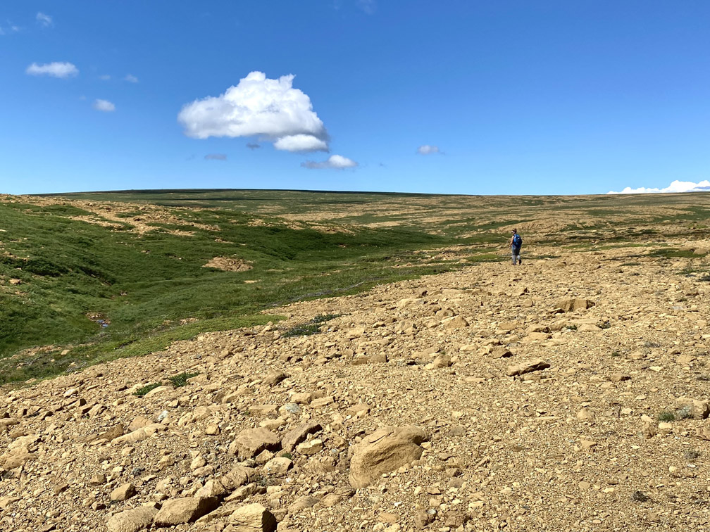
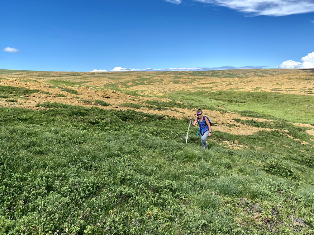
The gulch itself is relatively green and lush for a peridotite valley
and like the others, has a crystal-clear stream running through it.
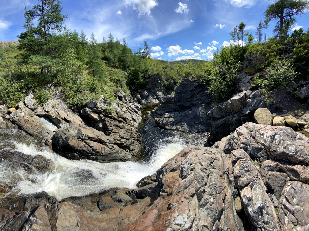
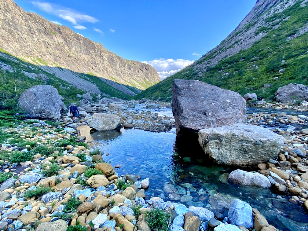
Just below the stream crossing, a series of waterfalls and pools provides a nice place to stop for lunch, or if time permits, a nice cool dip on a hot summer day.
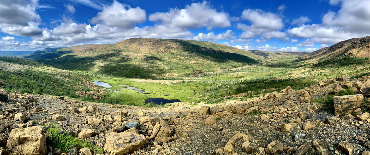
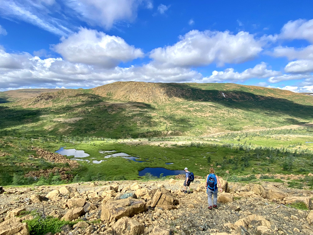
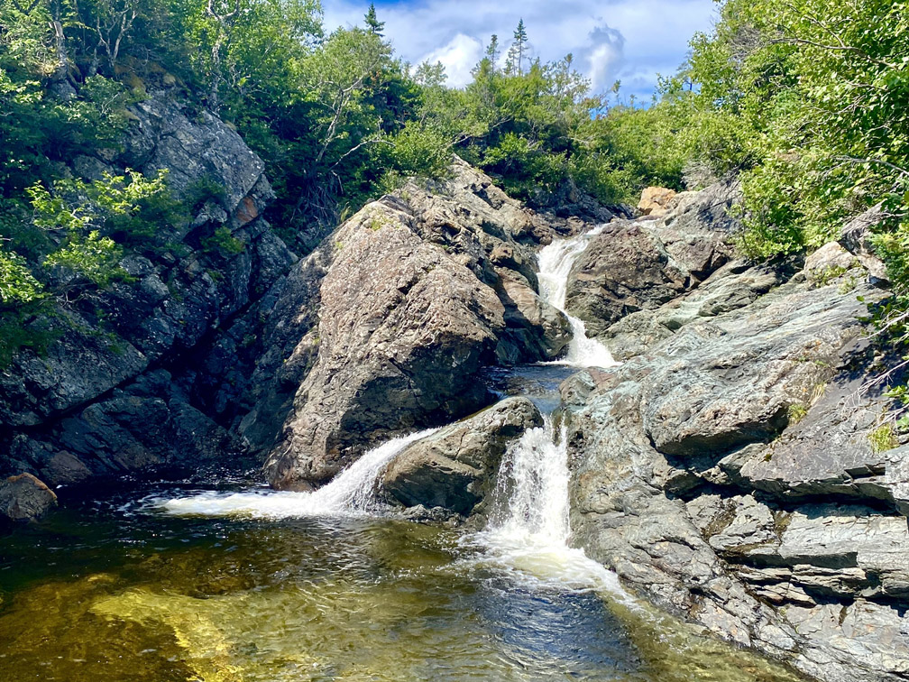
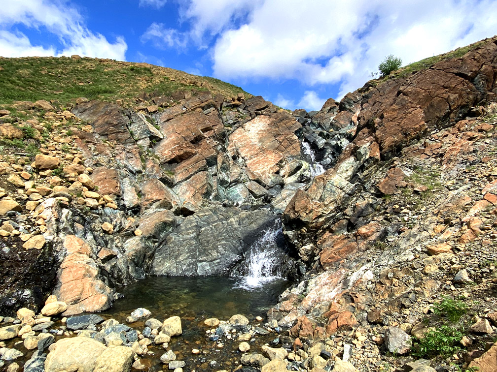
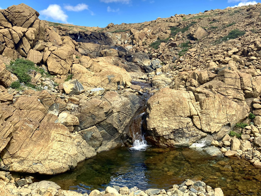
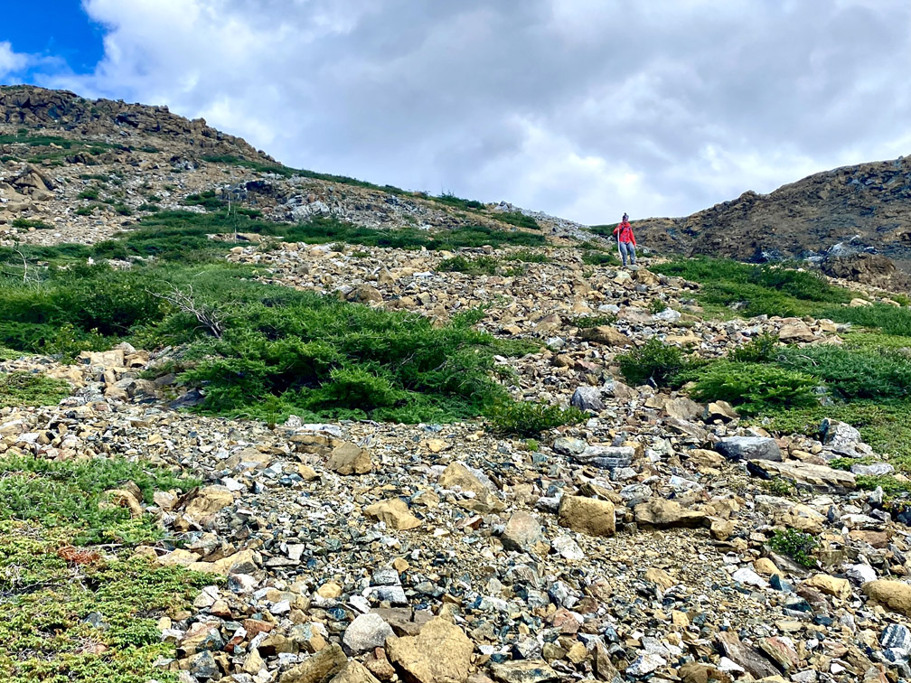
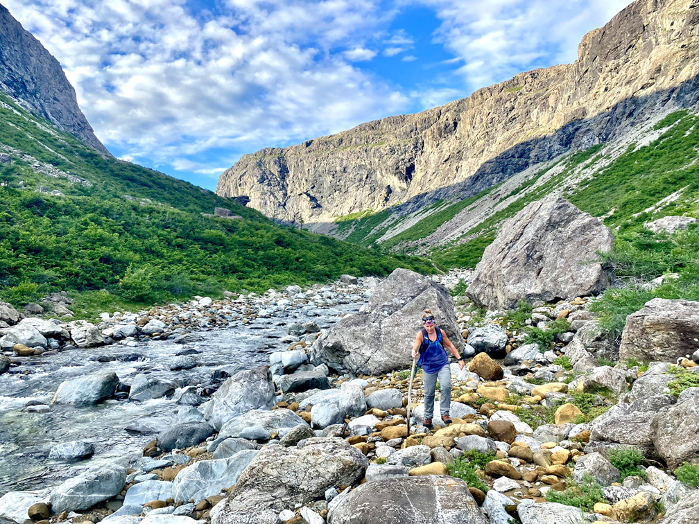
A short distance after crossing Knights Brook and climbing the south slope at the entrance to the gulch
our three amigos descend into another peridotite valley with yet another crystal clear stream and series of pretty waterfalls.
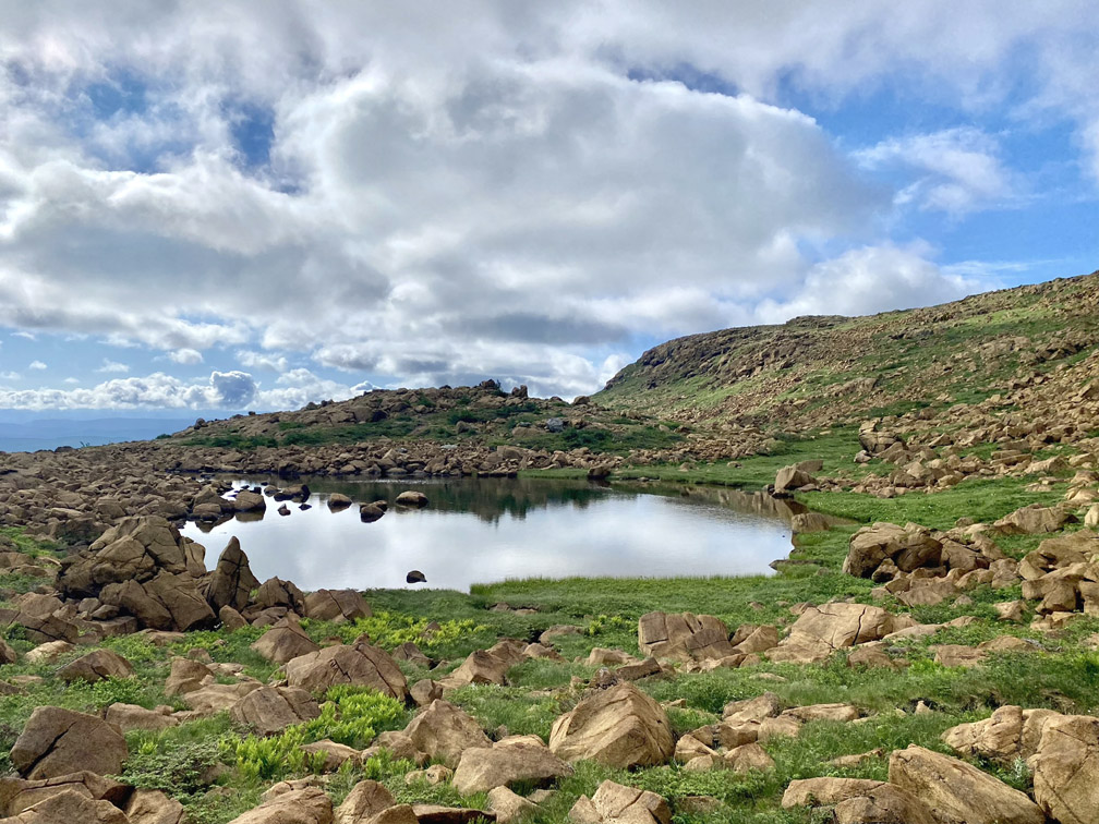
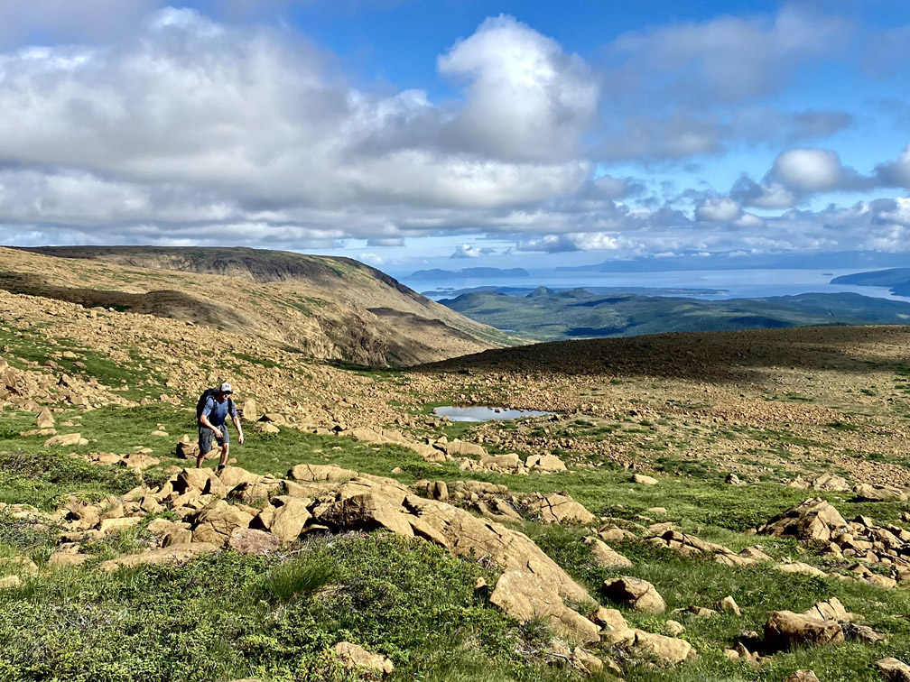
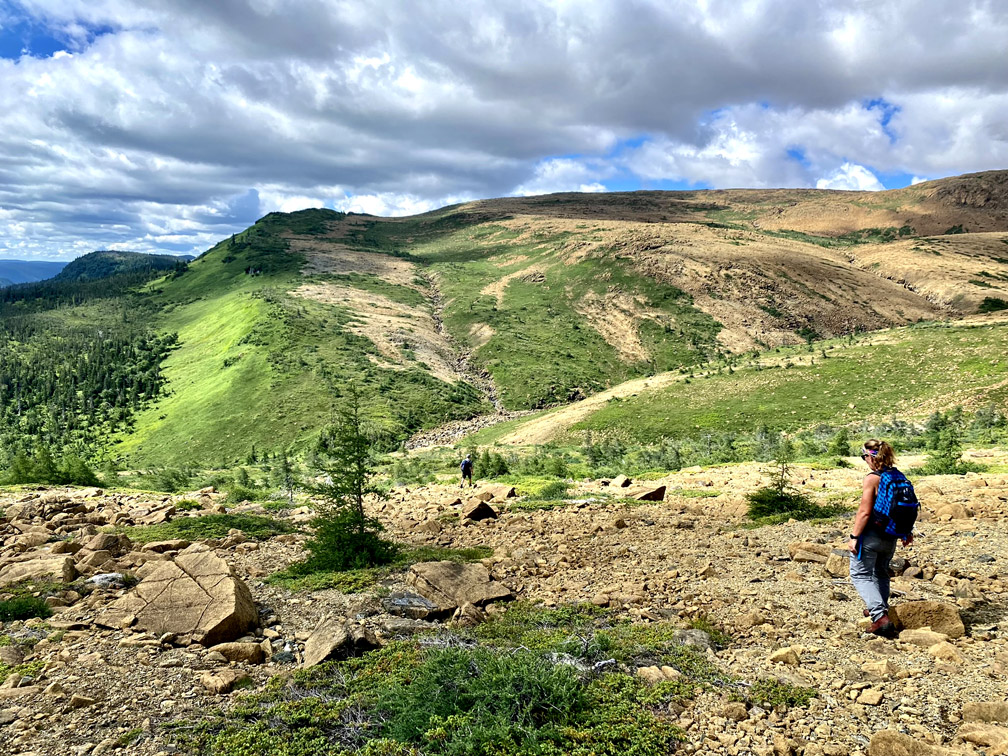
From here the trek continued on up another slope on the eastern edge of the mountains
and around a few small ponds
before crossing the height of land
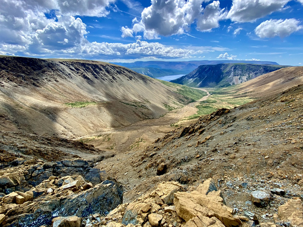
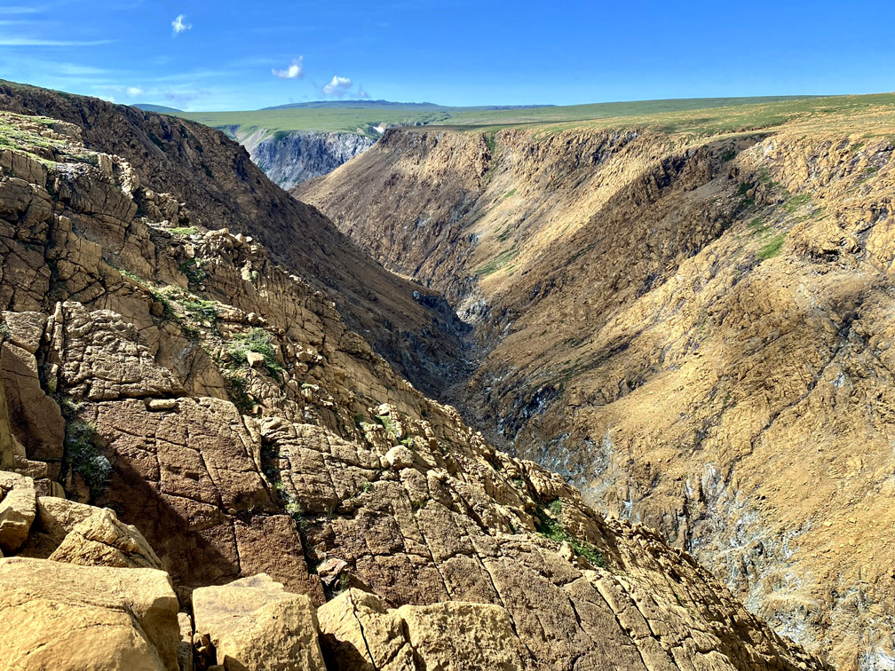
enroute to the back end of Red Gulch.
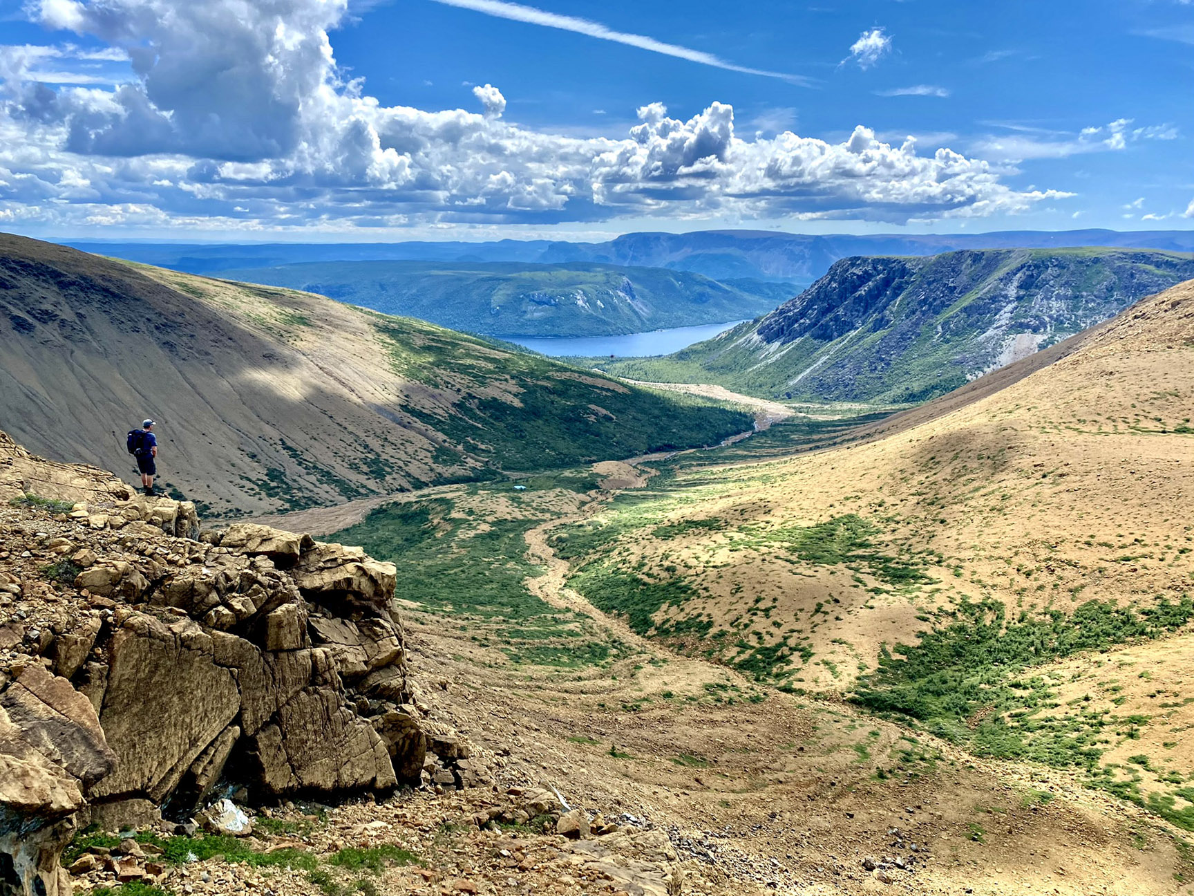
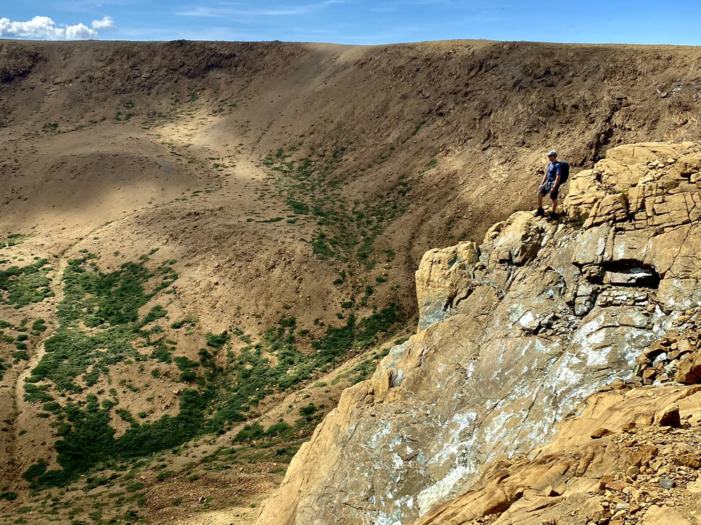
The trio then had to follow along the periphery of the multipronged gulch, but not before traversing the relatively shallow depression of an upper streambed with a pleasant little pool ideal for a refreshing dunk.
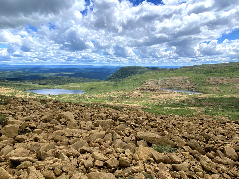
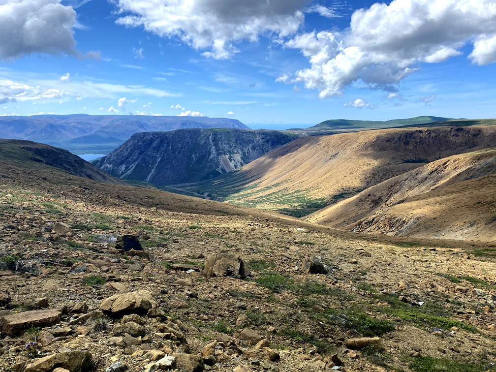
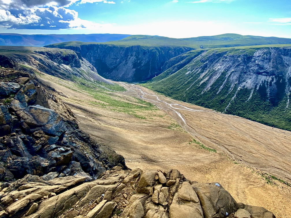
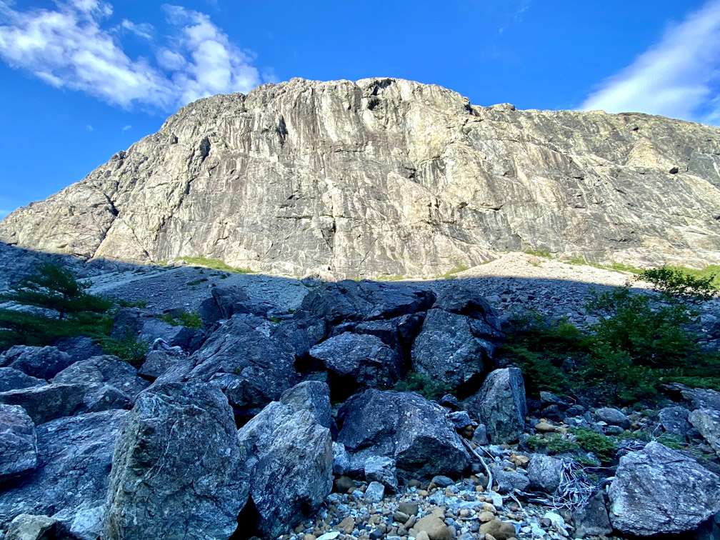
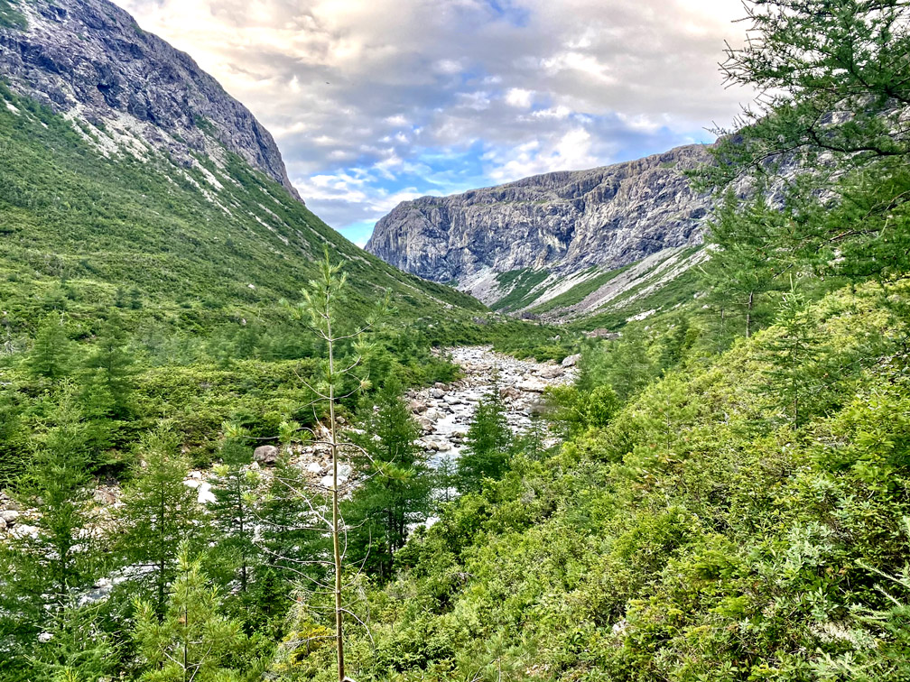
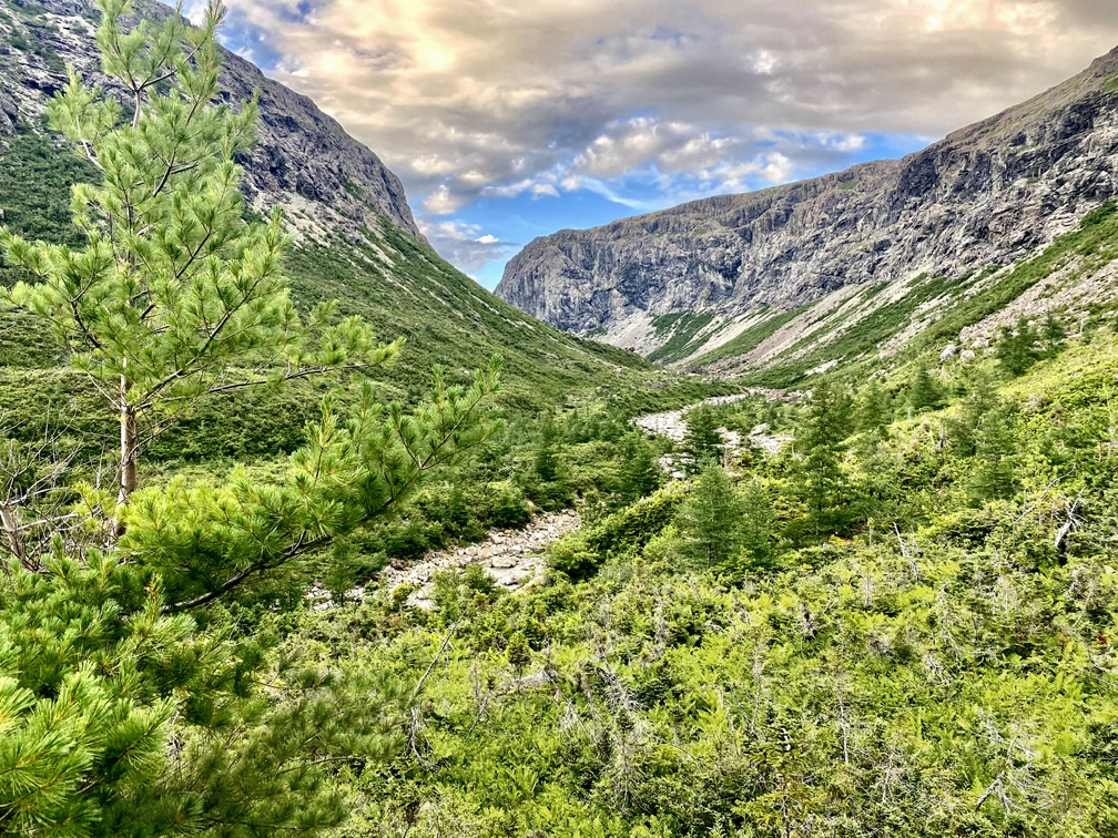
The views out through this south-facing gulch rival any among the many across the entire Bay of Islands Ophiolite. And with 4 distinct branches, there are many to pick from.
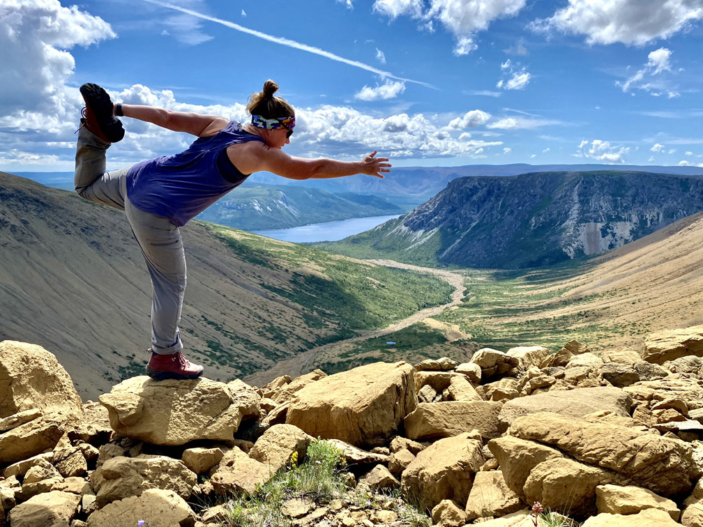
After a few more photos and selfies
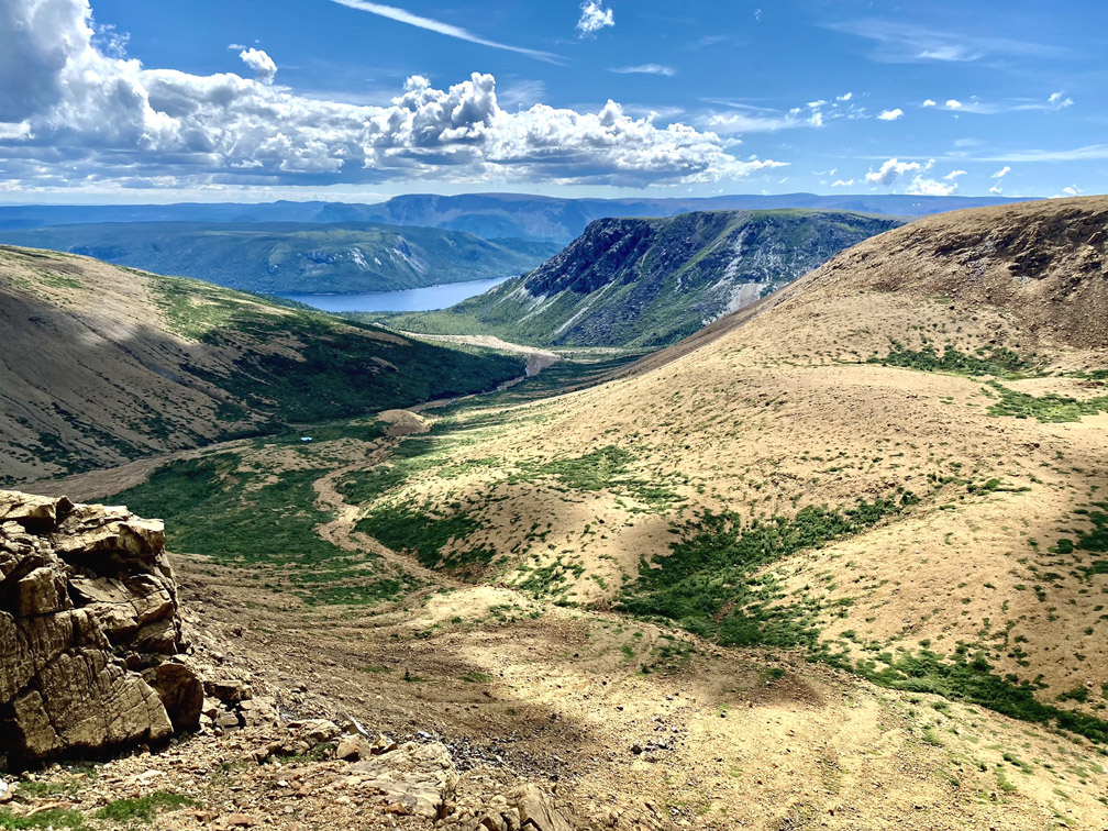
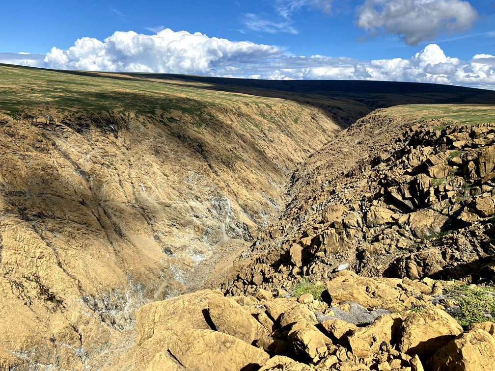
the intrepid trekkers headed to the back end of the east branch of Simms Gulch
where the canyon is much narrower and steeper.
From here they followed along the edge of the south rim, where they had good views of the back end of the main gulch, including the long slope up and out, part of the route of the IATNL Blow Me Down Traverse.
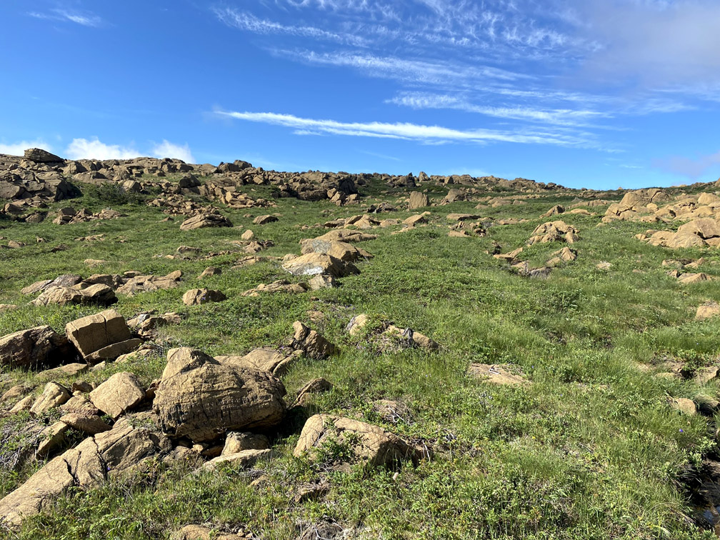
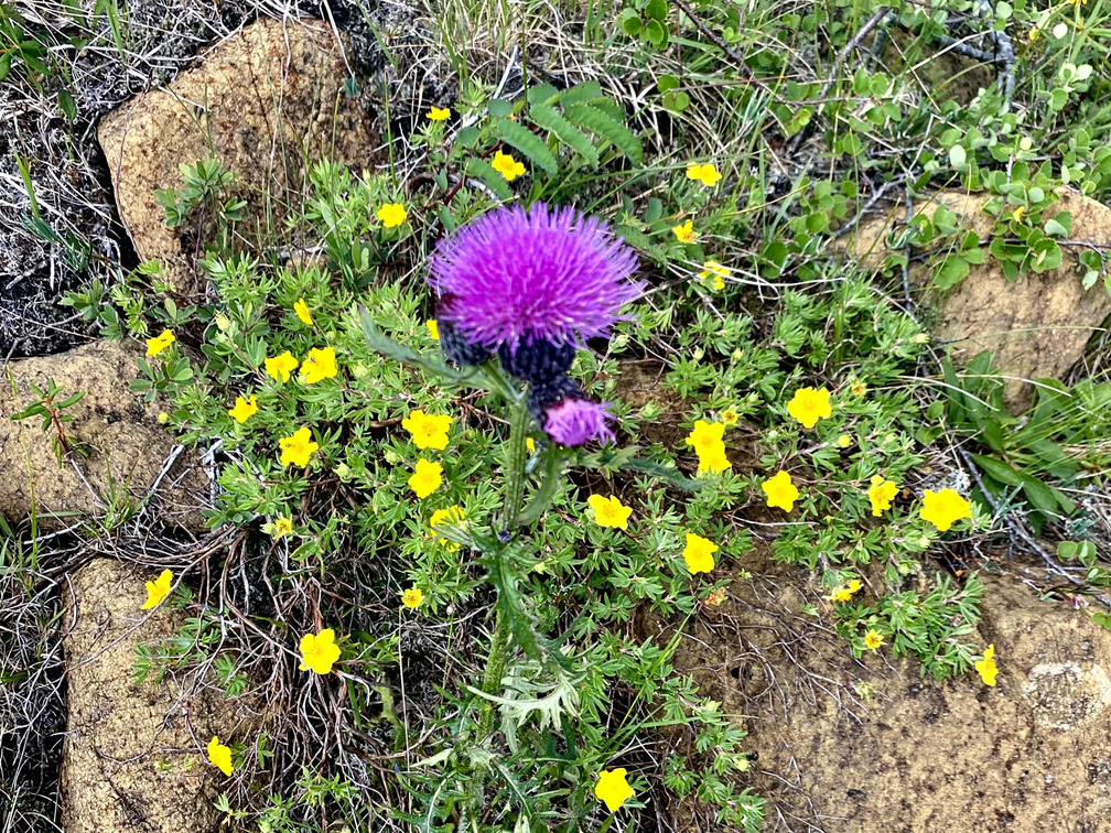
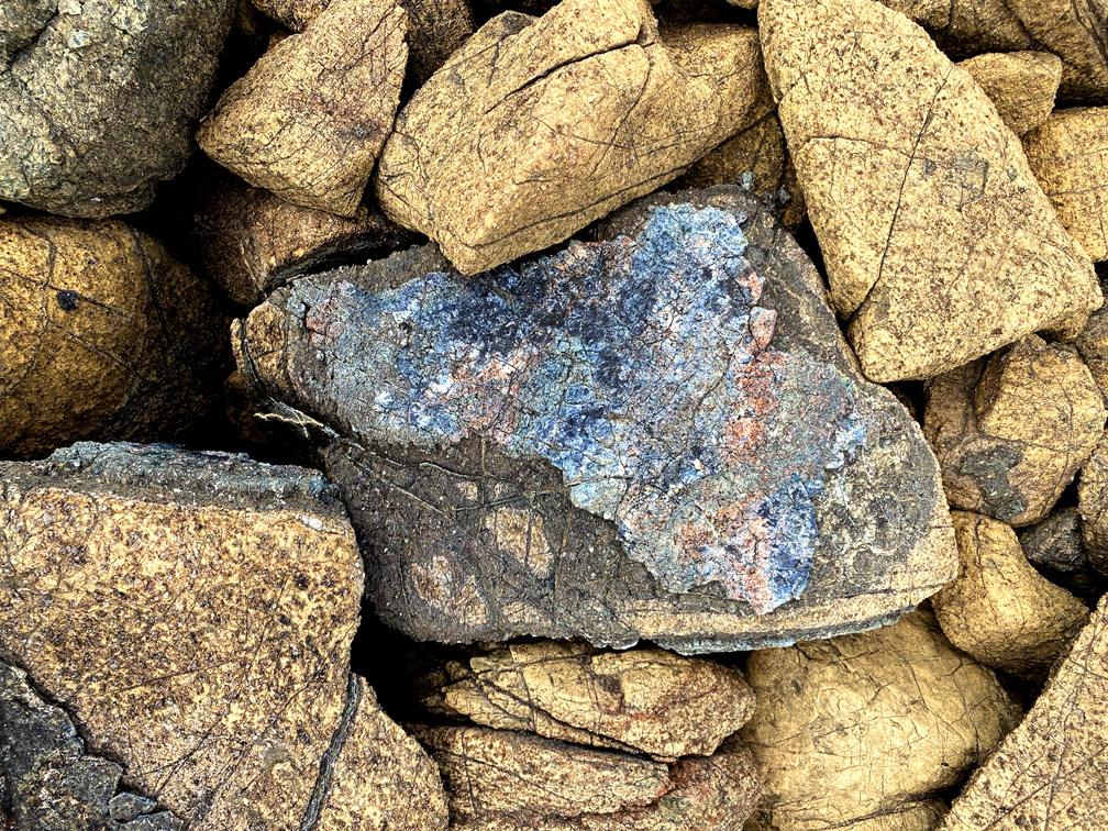
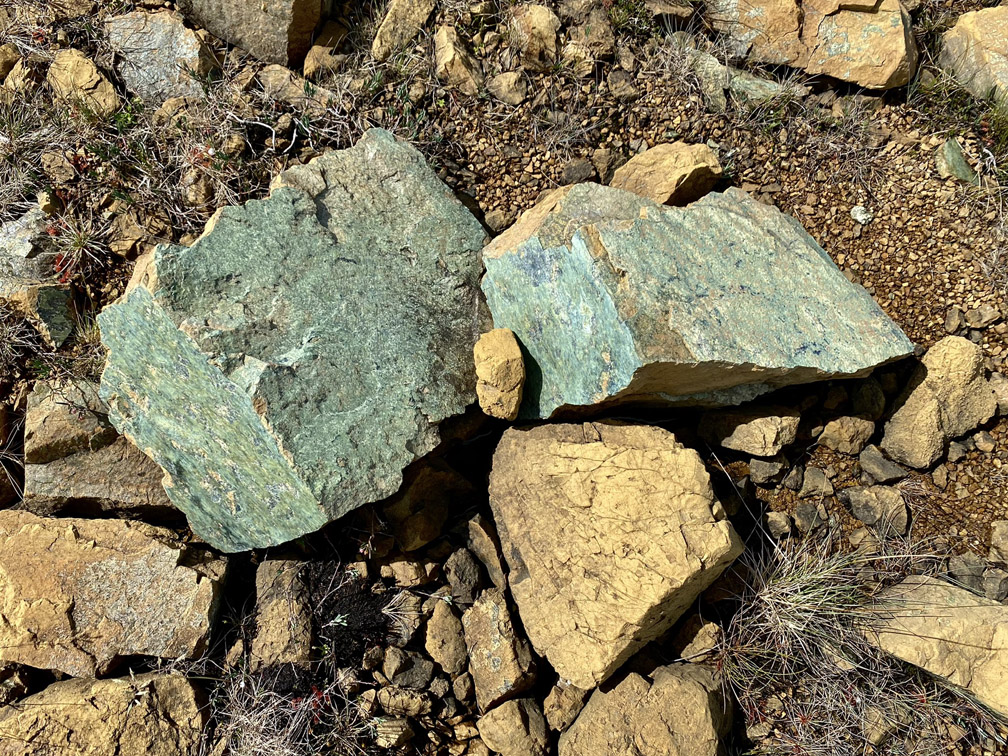
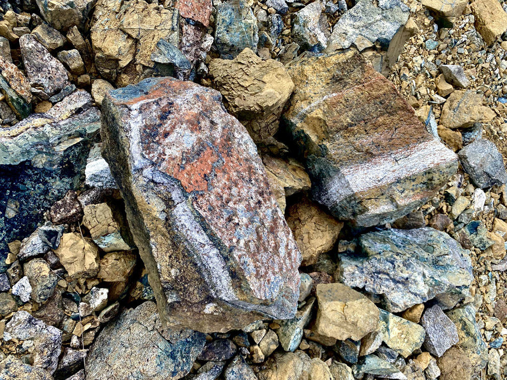
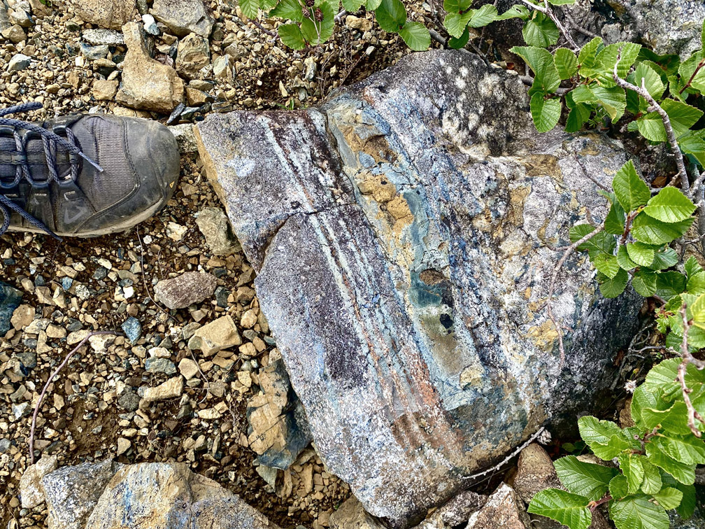
In addition to the big sweeping vistas of the Bay of Islands Ophiolite Massifs, these landscapes are also special for the little things at your feet, including the amazing variety of igneous and metamorphic rocks
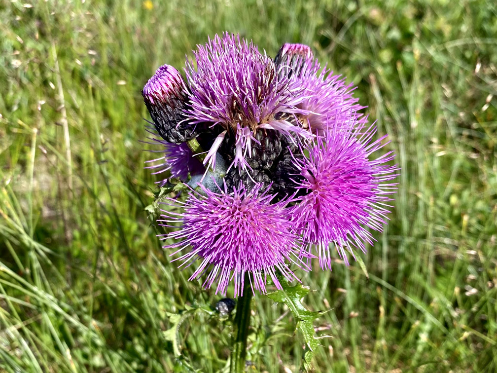
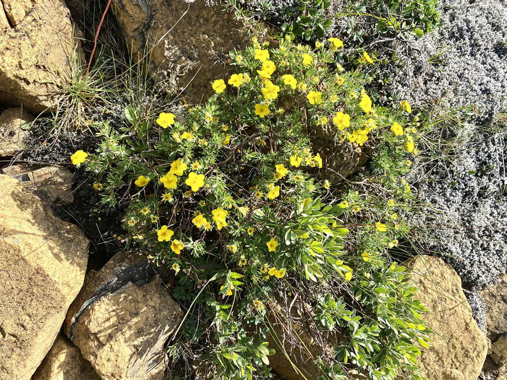
and the colorful and hardy plants able to survive in this environment.
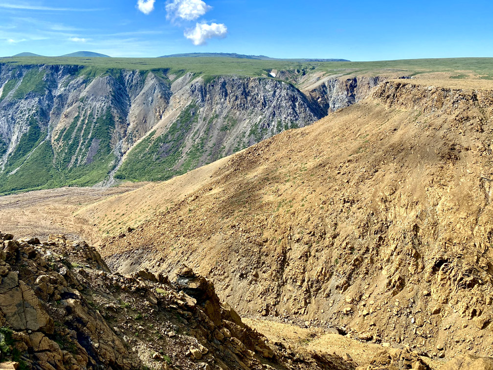
Once above the east rim of Simms Gulch proper, it becomes more evident that this canyon spans the dividing line between the rust-colored peridotite of earth’s mantle to the east and gray gabbro of the oceanic crust to the west, with the floor of the inner canyon composed almost exclusively of peridotite.
Halfway along the east rim, our trekking trio began their descent into the canyon, which started out a little steep but soon transitioned to a more comfortable grade.
A little more than halfway down the canyon wall, the rocks become more textured and colorful, as they are derived from a nearby section of the Mohorovičić Discontinuity, or Moho, the relatively thin boundary between mantle and ocean floor.
After reaching the bottom of the gulch and taking a little break, it was time to push on downstream, with the shadows along the west wall a reminder that the day was drawing to a close.
Rounding a bend, the trio emerged from the mantle and walked on a former ocean floor that is now a riverbed, in a mind-bending shadow of its former self.
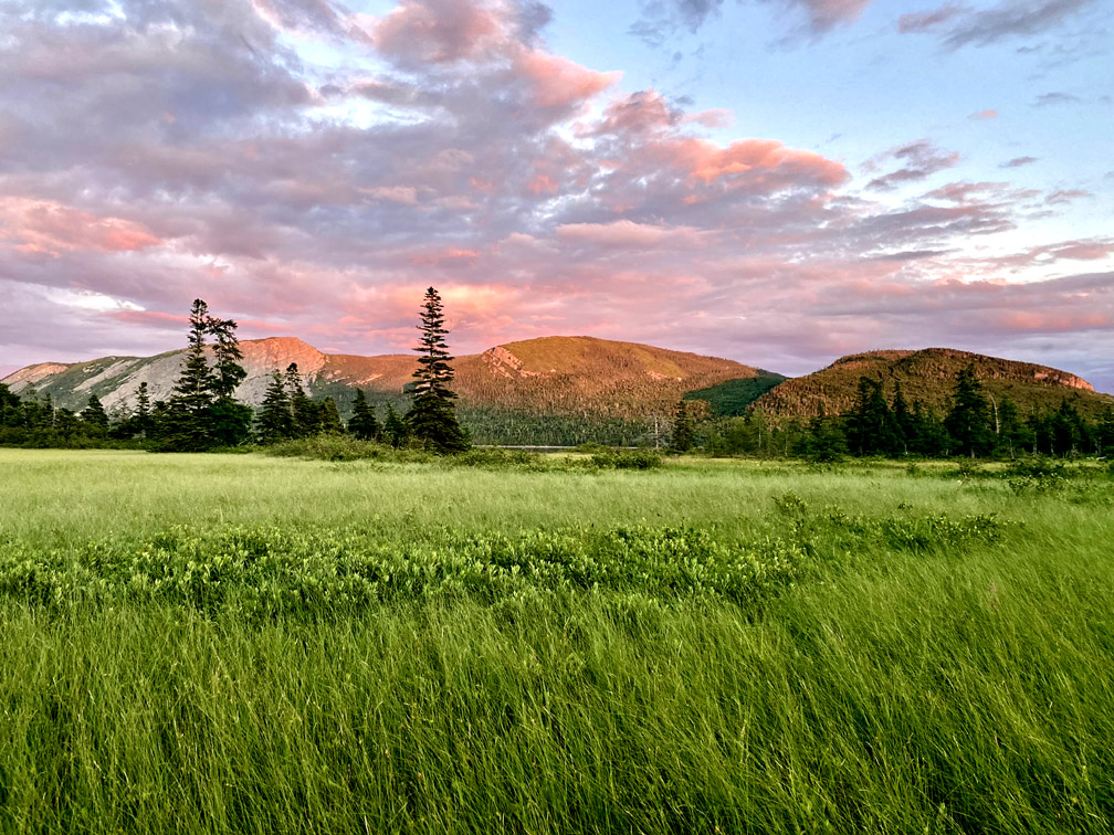
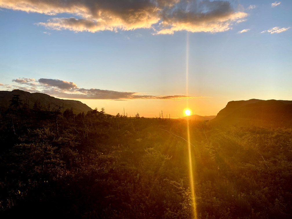
45 minutes later they emerge into the remaining sun
which saturated the landscape in a blanket of green
pink and gold
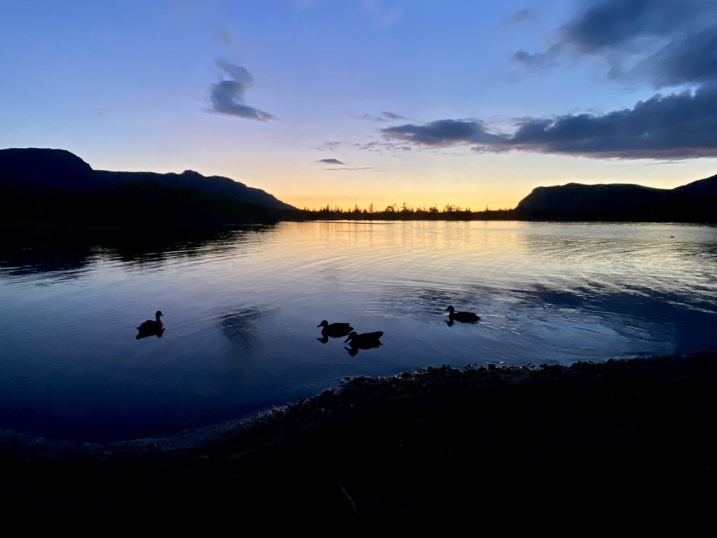
before the sun set on the last half hour of their 34km trek
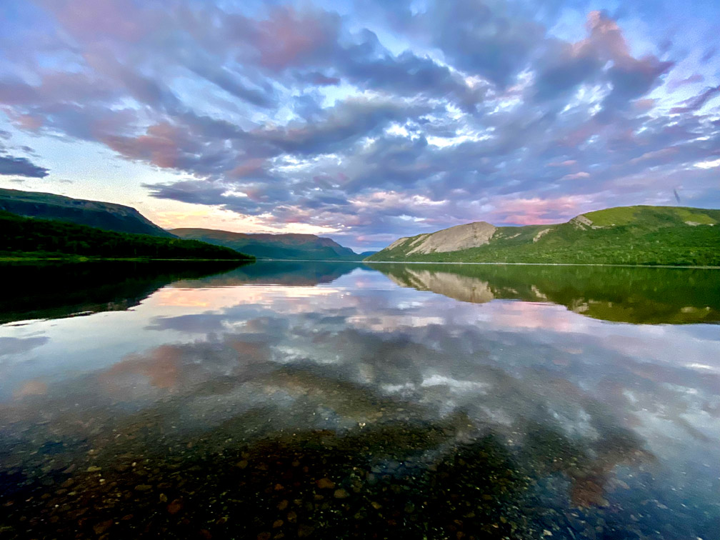
and a team of ducks making their final paddle of the night.
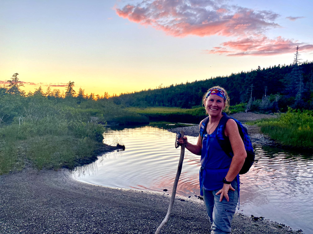
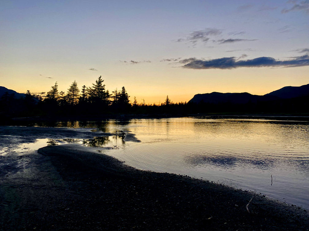
After crossing Serpentine River and Blue Hill Brook, the three amigos reached the end of Serpentine Logging Road, where a ride was waiting to whisk them away … but not before downing a couple ice cold beers!