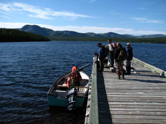
IAT President Paul Wylezol and Finance Director Kevin Noseworthy set out early Canada Day morning on a Gros Morne National Park adventure with Park Resource Manager Peter Deering, Visitor Experience Manager Myriam Lavalle, Client Services Manager Ken Kennedy, Heritage Presentation Coordinator Kim Vokey, and Kim’s Labrador Retriever Cash. They were on day-long trek to the Overfall to evaluate the feasibility of a new hiking trail on the park’s southern boundary.

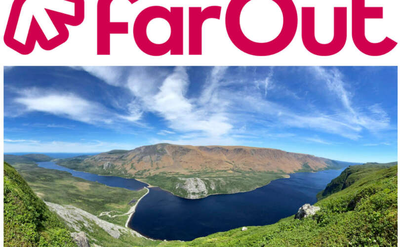
The beautiful summer day began with a boat ride across scenic Trout River Pond to the west branch of Trout River. Along the way the group was afforded spectacular views of the south side of the Tablelands, a 2,000+ ft (600+m) “rusty” mountain heaved up from the earth’s mantle by plate tectonics. This “peridotite” rock is very low in calcium, high in magnesium, and has toxic amounts of heavy metals that make it difficult for most plants to survive.

The view of the barren desert-like Tablelands is in stark contrast to the lush tree-clad mountains on the south side of the pond, where every nook and cranny is filled with trees or scrubby tuckamore, Newfoundland’s own bonsai.

The end – or “bottom” – of the pond is characterized by a low, gentle valley with lush green forests and slow-moving streams


descended from cascading rapids, refreshing pools, and showering waterfalls


…. and the 500 ft (150 m) towering Overfall!

Overall, the terrain is dry and even, and would make a pleasant day-hike for adventurers of any ability.
It would also provide easy access to the top of the North Arm Hills, where the IATNL hopes to develop a network of trails from the North Arm of the Bay Of Islands, across the “hills” to their northern edge overlooking Trout River Pond and the Tablelands, then down Chimney Cove Valley to the community of Trout River.
And if all this sounds like a long walk, relax. You could always get the boat back to town!
To view more photos of Gros Morne’s Trout River Pond To Overfall, go to IATNL Flickr…


