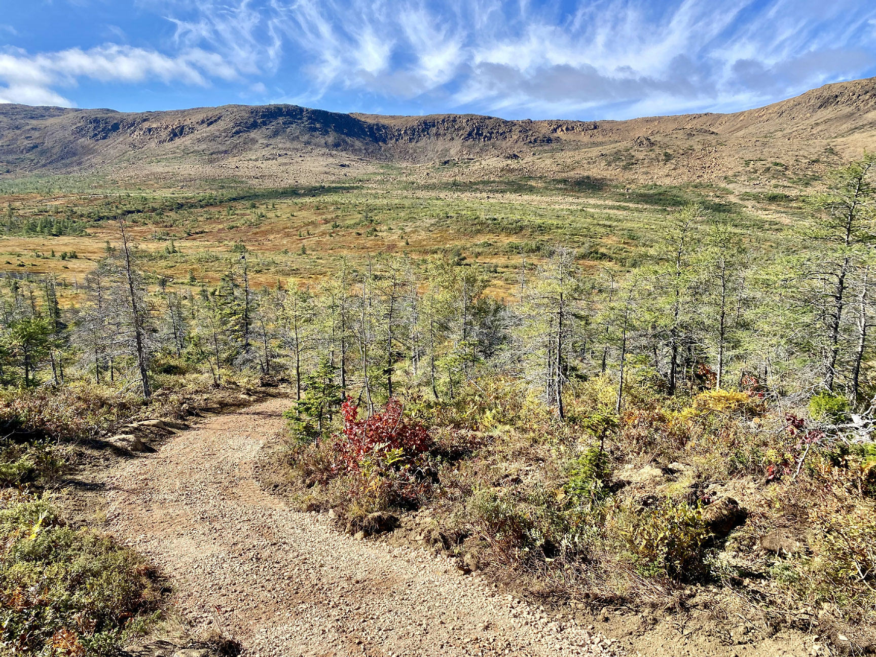


From spring to fall 2024, the International Appalachian Trail Newfoundland and Labrador (IATNL) in conjunction with Cabox Aspiring Geopark developed the first stage of the East Blow-Me-Down Trail off the Forestry Access Road above Benoit’s Cove on Route 450 on the south side of Humber Arm, Bay of Islands.
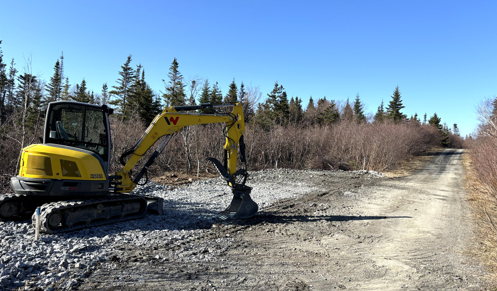
The trail replaces an excavator track to the town’s second water supply that served as the primary hiking route to the East Blow-Me-Down Mountains. It starts near a new parking lot created about halfway down the water supply road, which branches off the Forestry Access Road approximately 2 kms from Route 450.
Just past the parking lot, the trail branches off the water supply road and winds a short distance to Clarks Brook
where several strategically placed boulders serve as stepping stones across the 4″ to 14″ deep stream.
Once across the brook, the trail follows an ATV trail for approximately 1/2 km
before turning off to the left and climbing 140 m (460 ft) up and around a 370 m (1,214 ft) high forested hill named Lookout Hill.
For more on the story, go to the Cabox Geopark website …