On April 15, IAT Chairperson Paul Wylezol took advantage of a beautiful spring day to take a rare leisurely drive along the IATNL route through Gros Morne National Park, from Gros Morne Mountain to Parsons Pond. After crossing from the western side of Bonne Bay on the pedestrian ferry to Norris Point, the route follows the highway to the park’s Visitor Center, from where hikers can either take the 3-day Long Range Traverse to Western Brook Pond or walk the scenic coastal highway, beach, and old mail trail all the way to Parsons Pond.

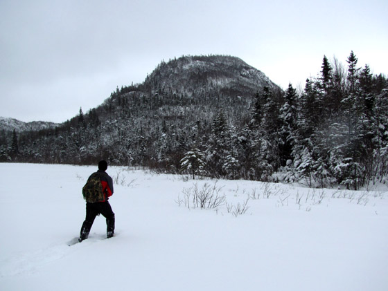
View of Gros Morne Mountain and Deer Arm Brook
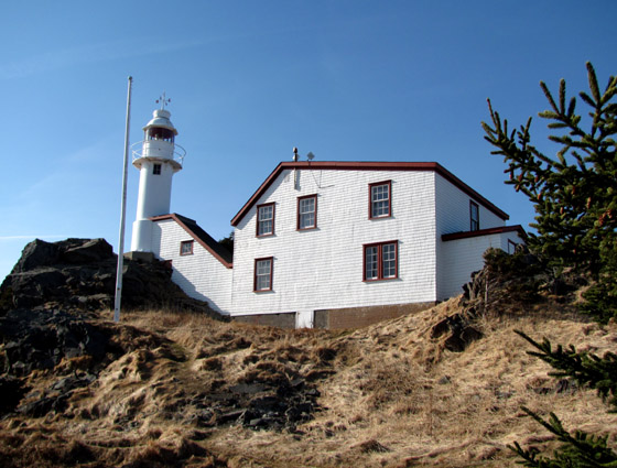
Taking the highway route on the low traffic Viking Trail (i.e., Route 430 to the Viking site at L’Anse aux Meadows), the route soon arrives at Lobster Cove Lighthouse at Rocky Harbour, built in 1897 and still operating today.


After another 10 kilometers (6 miles) the route arrives at world-renowned Green Point, a rich fossil site and global stratotype for the boundary between the Cambrian and Ordovician geologic periods, approximately 490 million years ago.


Though not currently green, the grassy point of land is a favorite grazing place for the region’s hungry caribou

which will feed in the low-country until returning to the mountains to calve after the high-country snow melts …….. and in turns makes its way to the coast. One such river, Western Brook (in Newfoundland rivers are brooks and lakes are ponds!) flows out of Western Brook Gulch, 18 kilometers (11 miles) to the north. In summer the two-hour boat tour on this inland fiord is one of the park’s premier attractions, while in late winter and early spring the upper mountains and scenic valley are popular among snowmobilers.


At Western Brook, hikers that choose to trek the rugged Long Range Traverse return by boat – or by foot along the North Rim – to the coast, and after another 35 kilometers (21 miles) and half-dozen moose, reach Parsons Pond and the IATNL Devil’s Bite and Indian Lookout Trails.


