


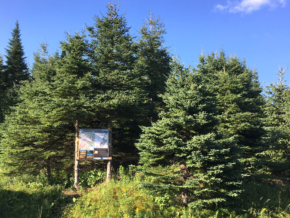


The IATNL Thru-Hiker Route begins near the Marine Atlantic ferry terminal in Port aux Basques at the southwest corner of the island of Newfoundland. From there the route follows the Newfoundland T’Railway (aka Trans Canada Trail) all the way to Stephenville Crossing on Route 461 in Bay St. George.
Along the way hikers have the opportunity to turn off onto the Grand Codroy Way, including the Starlite Trail, which is the first of several IATNL backcountry wilderness routes across the Long Range Mountains
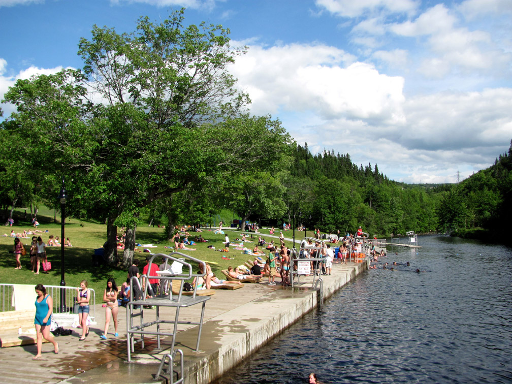
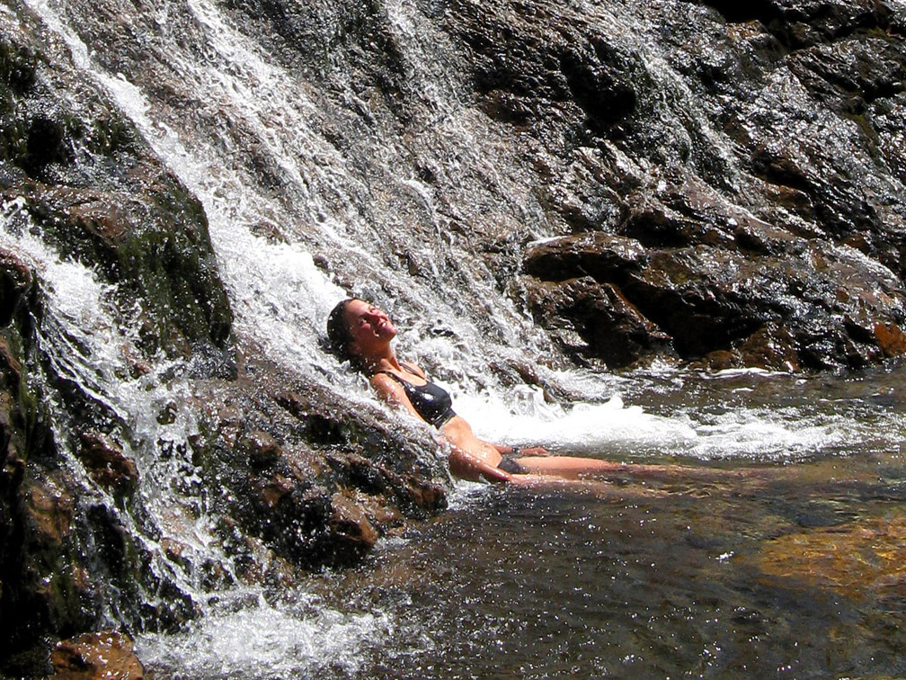
as well as visit the Qalipu First Nations Museum and take a dip in the ocean at St. George’s on Route 461.
From Stephenville Crossing, the thru-hiker route continues on the Indian Range Trail to Route 460 near Stephenville, which it follows for 4kms to Cold Brook Road.
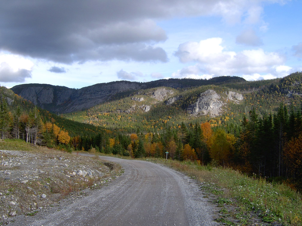
One kilometer into Cold Brook Road, the route turns right onto a gravel logging road
that extends 28kms (16.8mi) to the IATNL Lewis Hills Trail southern trailhead.
After another kilometer, hikers come to a snowmobile warm-up cabin with wood stove, which is normally unlocked and makes a good place to spend a rainy night. Half kilometer further, the gravel road ends and the route follows a rough ATV trail across 2km of barrens, before connecting to the southern end of another logging road (i.e., Logger School Road) headed north.
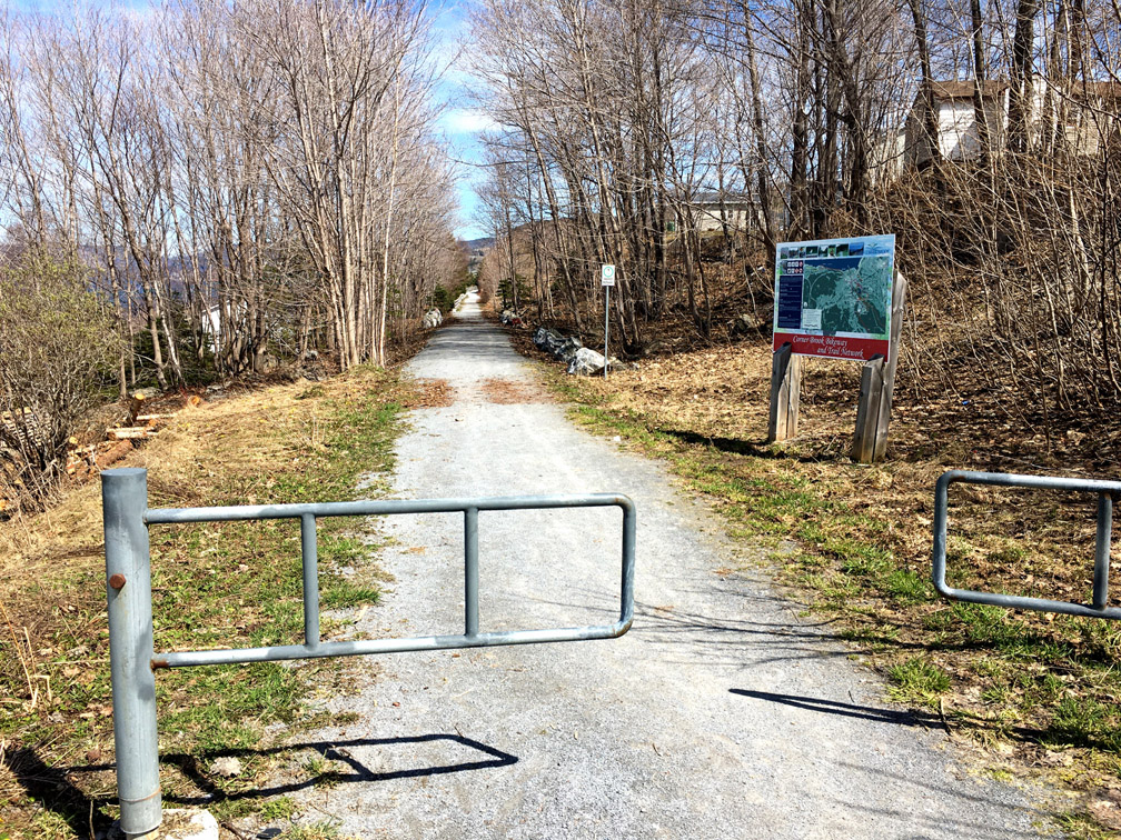
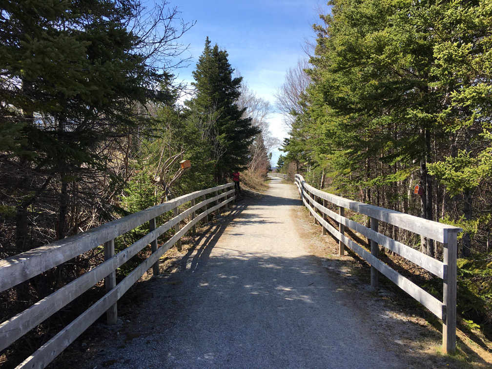
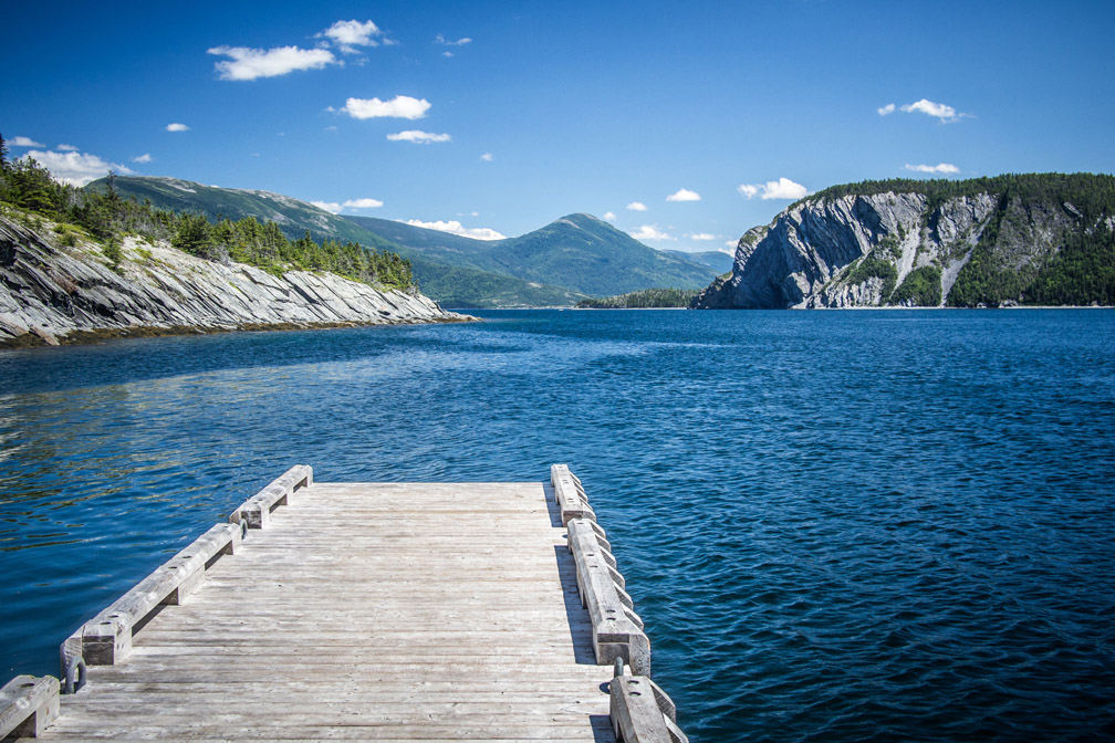
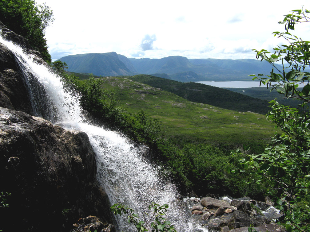
After 19.3km (11.6mi) the road comes to a fork, with the left branch headed west to Serpentine Valley (location of the Lewis Hills northern trailhead and Blow Me Down Traverse southern trailhead) and the right branch continuing north. After turning right and walking another 5.7km (3.4mi), the route comes to a fork to the left then a 4-way stop when the logging road intersects the Newfoundland T’Railway. At this point hikers must turn left and continue on the T’Railway for 17.6km (10.5mi) until it reaches the town of Mount Moriah on the south shore of Humber Arm, where the route turns right and follows Route 450 for 1.2km until it intersects with Petries Street. After 2.3km on Petries Street, the route connects to the city of Corner Brook’s Rail Trail, which at times follows city streets through Curling neighbourhoods.
Once at the eastern end of the rail trail, the route follows the city’s Lewin Parkway for a couple hundred meters until it picks up a community trail in front of the paper mill, which it follows for half kilometer until it reaches Riverside Drive.
However before continuing east, it’s a good time to resupply. Just a short distance from the paper mill, hikers will find Sobeys supermarket and Shoppers Drug Mart, and on nearby Broadway they will find National Shoe Store where they can purchase a new pair of hikers or a backpack if necessary. A short distance up Caribou Road is Colemans groceteria and adjacent Arthur James Clothing Company which sells outdoor adventure clothing, as well as some camping supplies.
In mid-summer, hikers may enjoy a walk on Corner Brook Stream Trail to Margaret Bowater Park, where they can take a cool dip in the stream’s swimming pool. The trail starts on Main Street on the western side of Corner Brook Stream, which also passes alongside the paper mill.
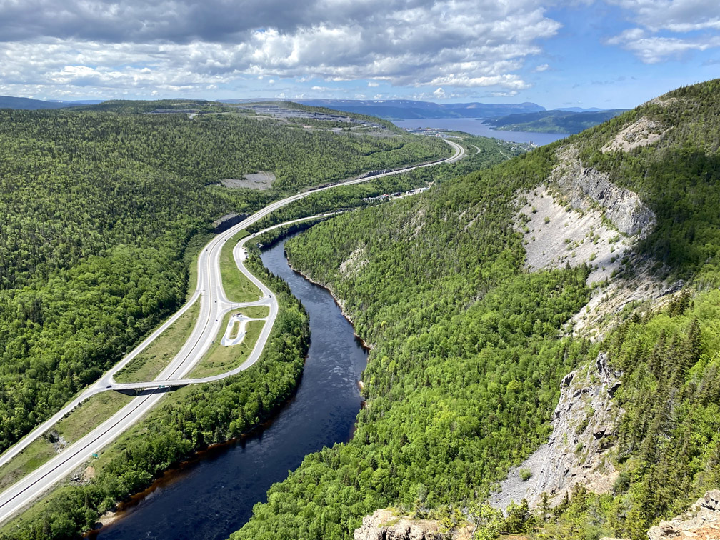
Back on Riverside Drive, the route continues along the south shore of Humber Arm for 5km (3mi) until it comes to Ballam Bridge at the beginning of Route 440, which crosses the Humber River on its way to the north shore of Humber Arm.
Looming above the river is Bear Head, location of the IATNL Bear Head Trail and IATNL Humber Valley Trail, which lead to Man In The Mountain Lookoff 1.6km (1mi) upstream.
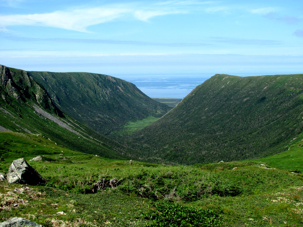
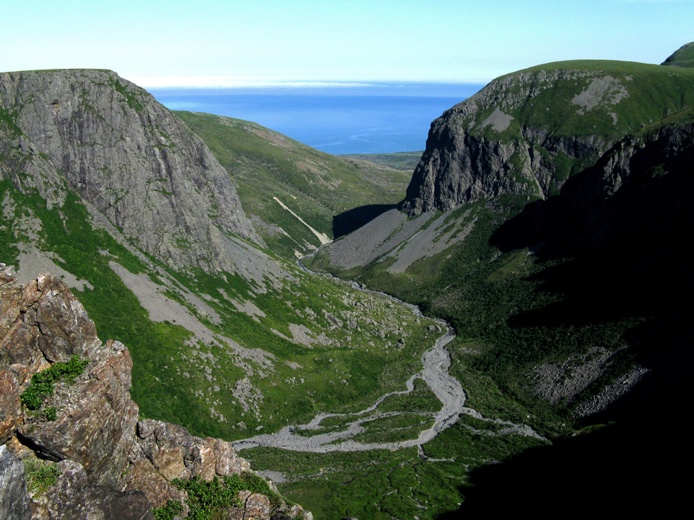
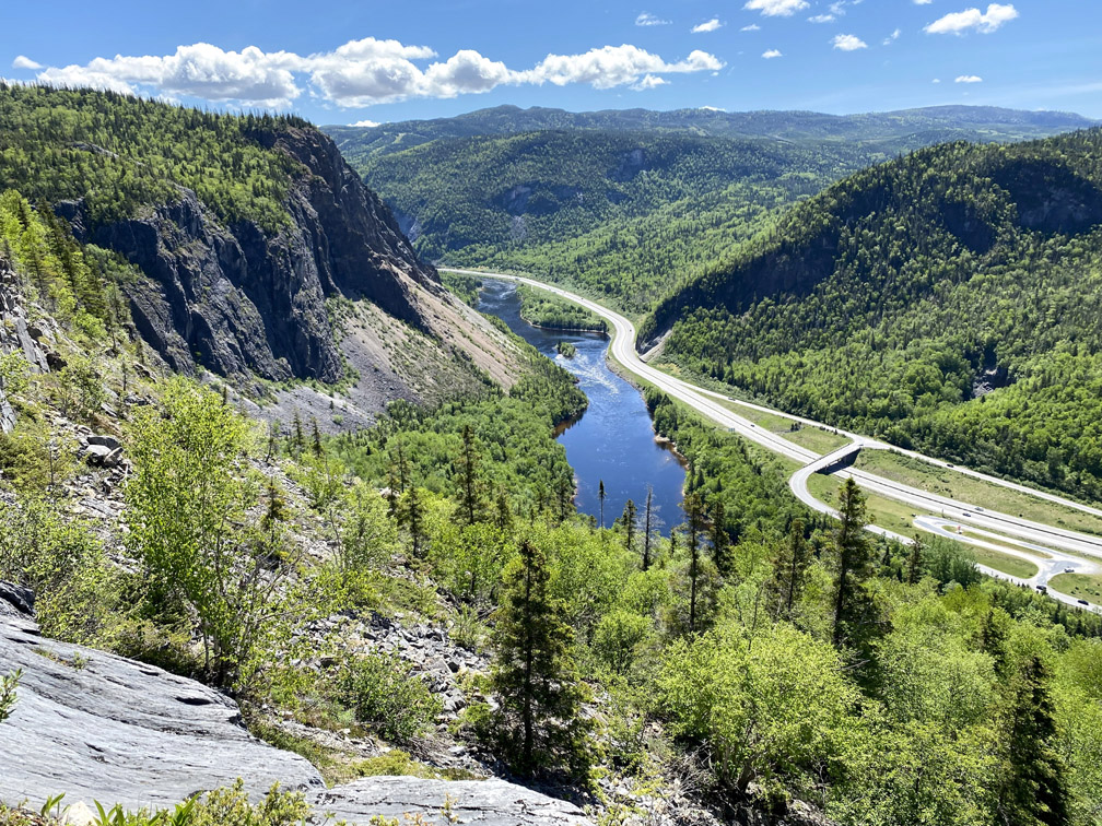
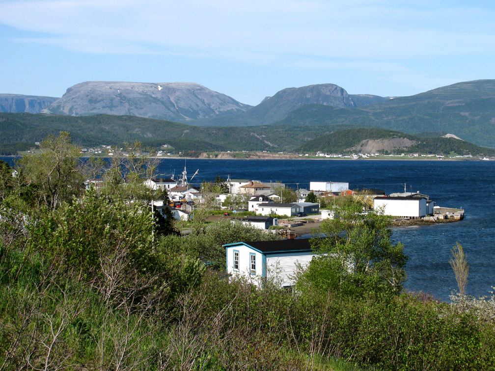
From Ballam Bridge, the IATNL Thru-Hiker Route continues 5km (3mi) on Route 440 to Hughes Brook, where it picks up another network of logging roads to Glenburnie on Route 431 on the south shore of Bonne Bay’s South Arm in Gros Morne National Park.
If hikers choose to do the scenic Bear Head Trail that connects to the Humber Valley Trail, they may turn left after 8km (4.8mi) when they reach Wild Cove Logging Road and walk the 5km (3mi) back to Route 430, then continue uphill for 2.6km to Hughes Brook and Goose Arm Logging Road. (Topo Map showing Humber Valley Trail and Wild Cove Logging Road.)
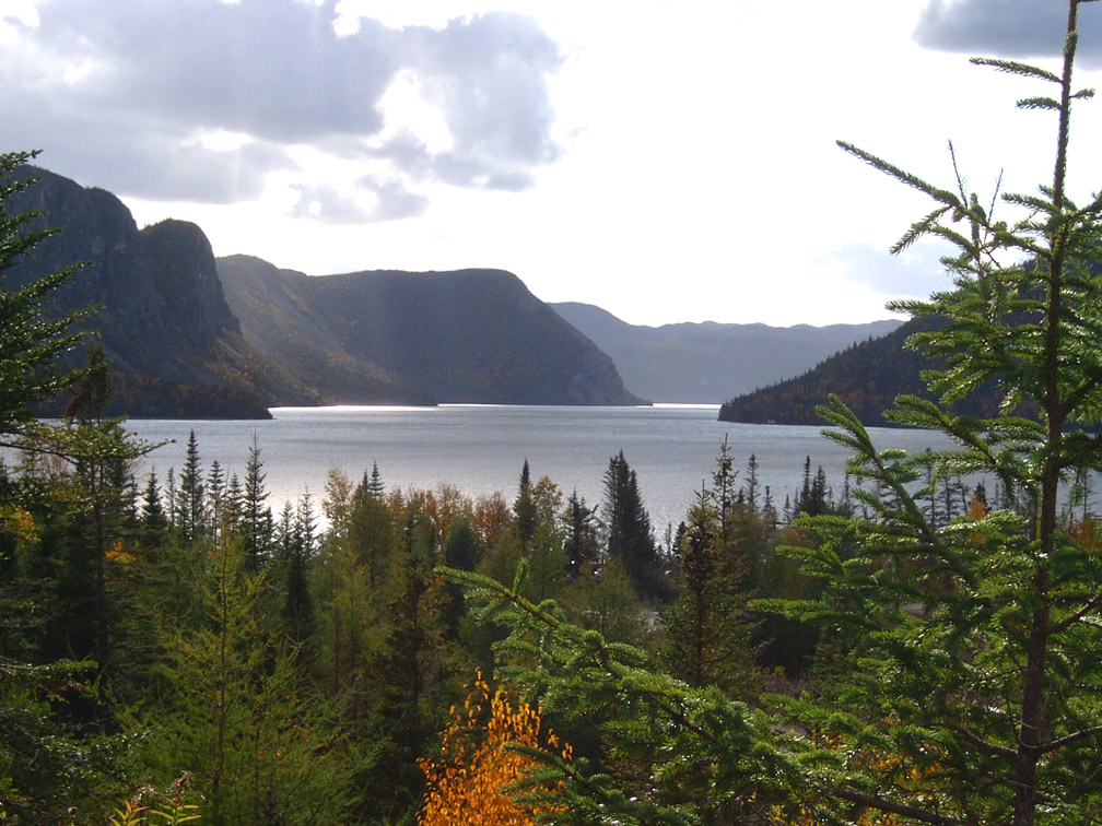
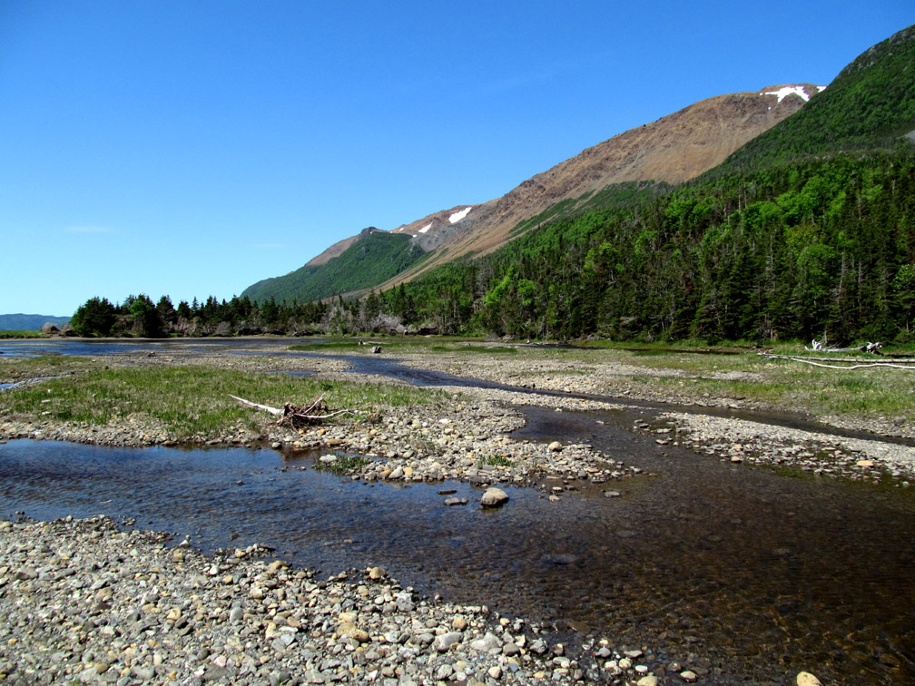
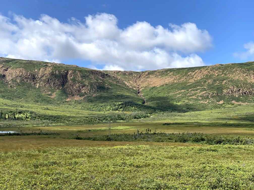
After walking 14km (8.5mi) on Goose Arm Road (without turning onto a side road), the route comes to Old Man’s Pond, a large Z-shaped lake surrounded by rolling Applalachian foothills.
From there it’s another 17km (10mi) to the bottom (i.e., back end) of Goose Arm, the eastern fork of Middle Arm, Bay of Islands.
Along the way hikers pass several small ponds, any of which would be a good place to set up camp on a beach or dry grassy knoll.
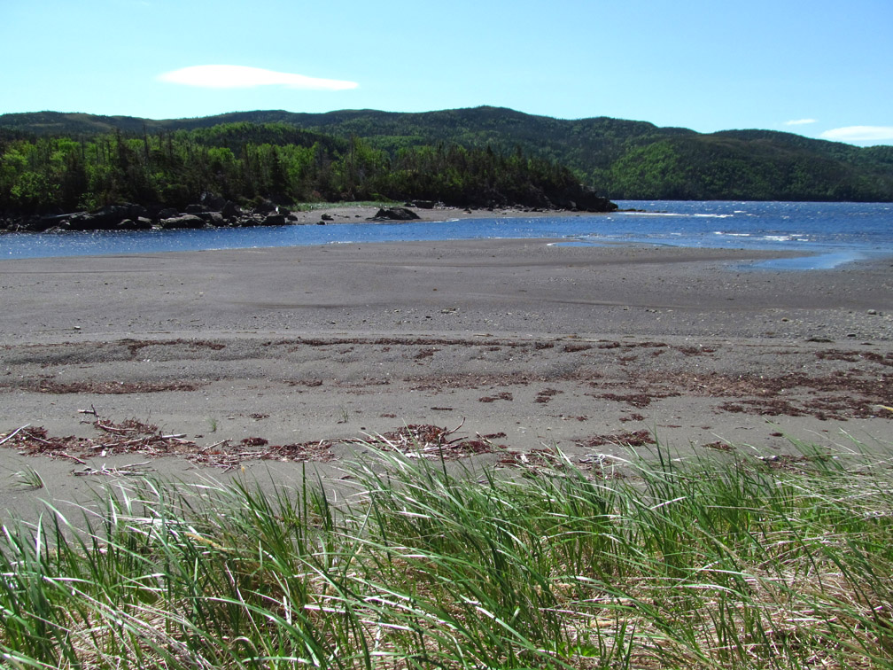
For hikers with a little extra time and a love of both mountains and ocean, 4.5km (2.7mi) past the bottom of Goose Arm a 5.6km (3.3mi) walk on a side road leads to a 3km (1.8mi) ATV trail which in turn leads to the bottom of North Arm, where they can find a nice spot to camp for the night with a fire on the beach, particularly on the north side of North Arm Brook when the tide is out.
From the intersection to North Arm road and ATV trail, it’s a 17km (10mi) trek to a fork in the road where the left branch leads to North Arm Mountain and Stowbridges Basecamp, North Arm Traverse and UltramaTrex long-distance route.
Turning right at the fork and continuing for 22km (13mi) on the thru-hiker route leads to the community of Glenburnie on Route 431, part of the town of Glenburnie-Birchy Head-Shoal Brook, or GBS.
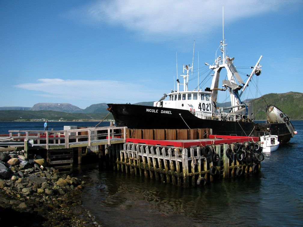
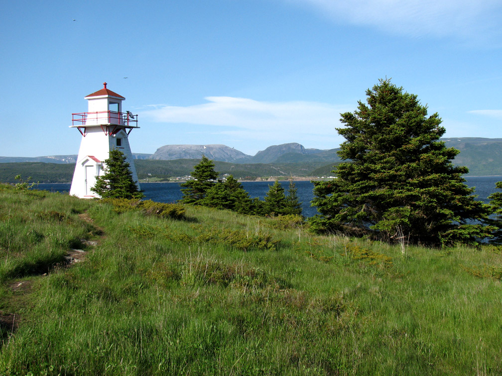
The walk around the western side of South Arm to Woody Point and the Bonne Bay Water Shuttle is 11.7km (7mi). (Note: Be sure to check the start and end date of ferry service while planning an IATNL thru-hike.)
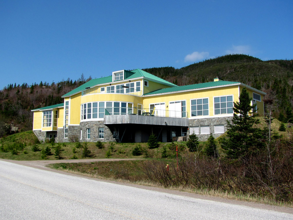
While in Woody Point, a short walk up the hill on Route 431 leading to Trout River brings hikers to the Gros Morne National Park’s Discovery Center, where they can learn about the geology of the park, the reason it was designated a UNESCO World Heritage Site.
After taking the water shuttle to Norris Point on the north side of Bonne Bay
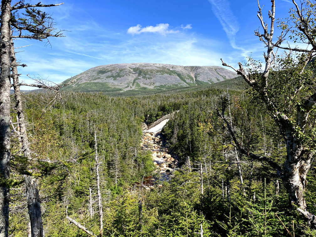
hikers must follow Main Street (which becomes Pond Road) for 5.3km (3.2mi) then turn right onto a connector road that links to Route 430, the Viking Trail. After nearly 1km, hikers will come to a KOA campground, then after another 2km (i.e., at the intersection) they will reach Gros Morne National Park’s Interpretation Center. At this point, if hikers are interested in hiking Gros Morne Mountain or plan to make the 3-day Long Range Traverse to bypass the coastal road walk (contact Park Canada for details), they must make a right turn south and follow Route 430 for 3.5km until they reach the James Callaghan Trail trailhead.
Making a left turn north at the Interpretation Center intersection and walking 3.5km will bring hikers to Rocky Harbour, a good place to resupply before heading up the Great Northern Peninsula, where most of the towns are smaller with fewer services.
From Rocky Harbour, the route follows the Viking Trail for much of the 385km (1,263ft) trek north to Crow Head, occasionally intersecting old coastal footpaths and mail trails along the way.
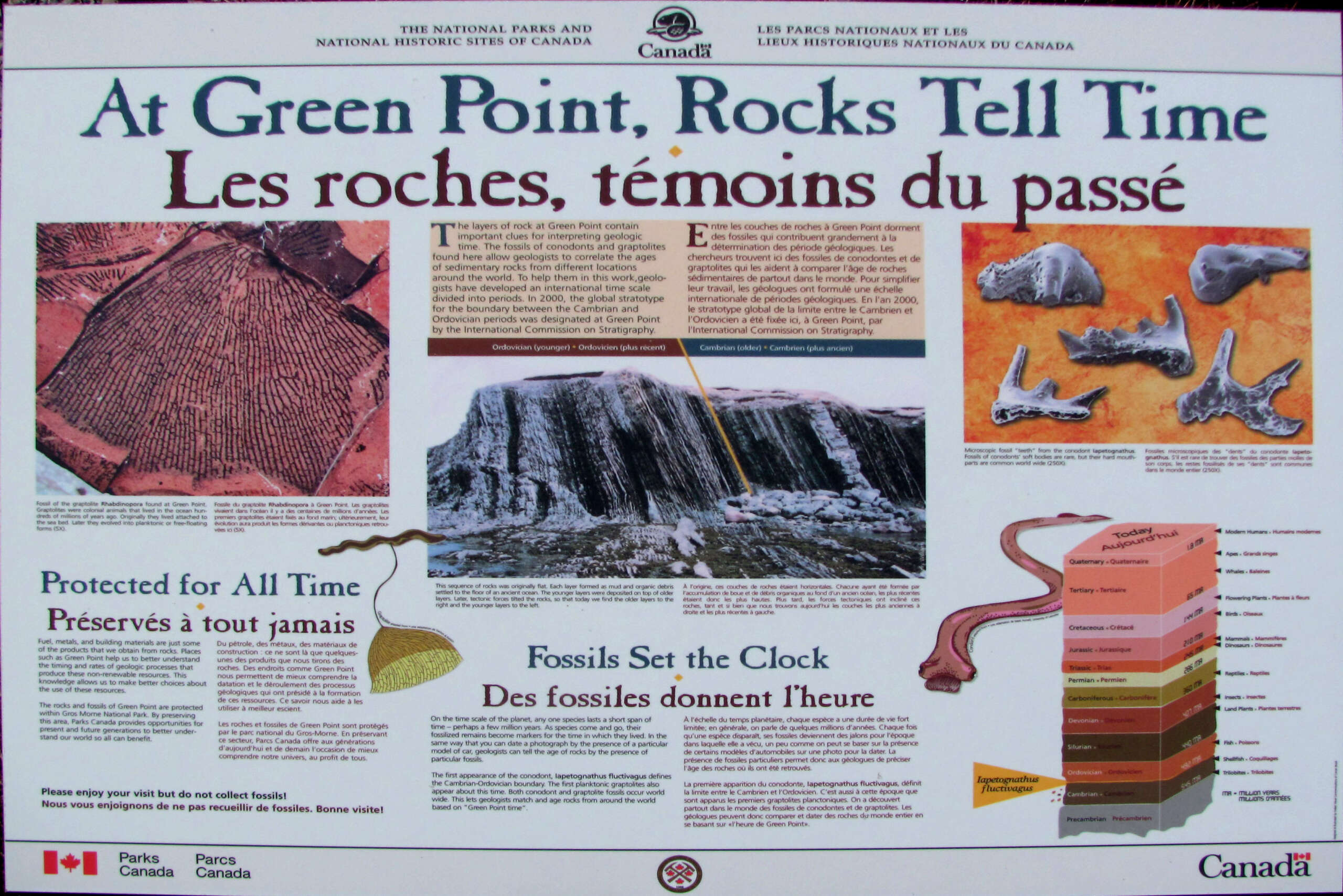
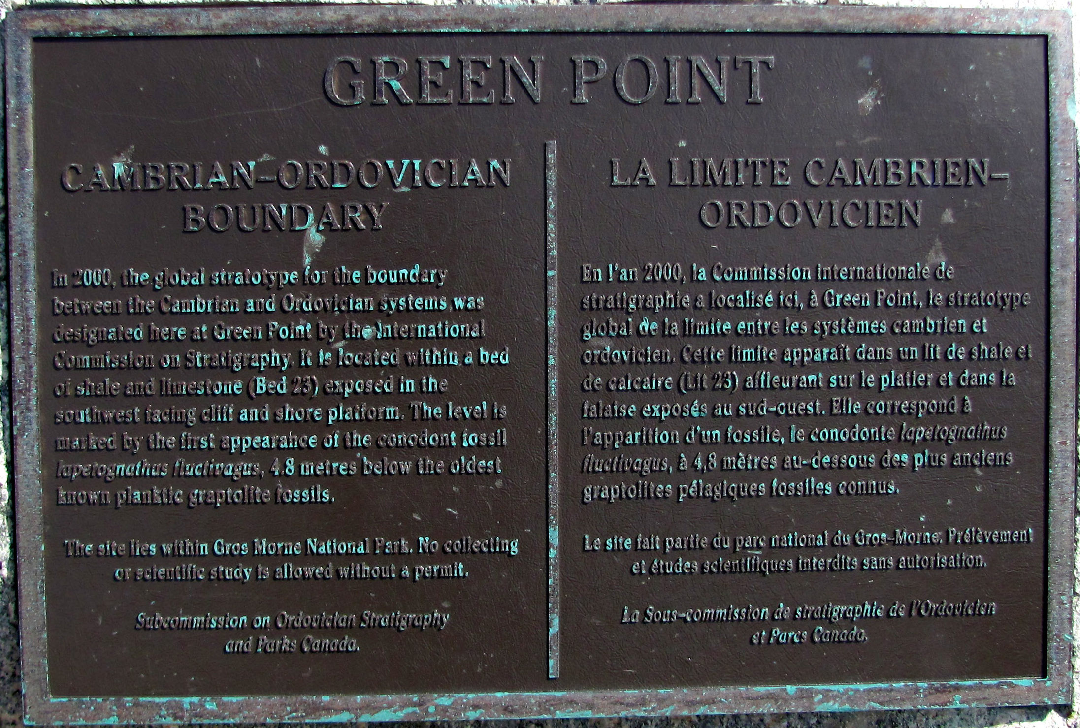
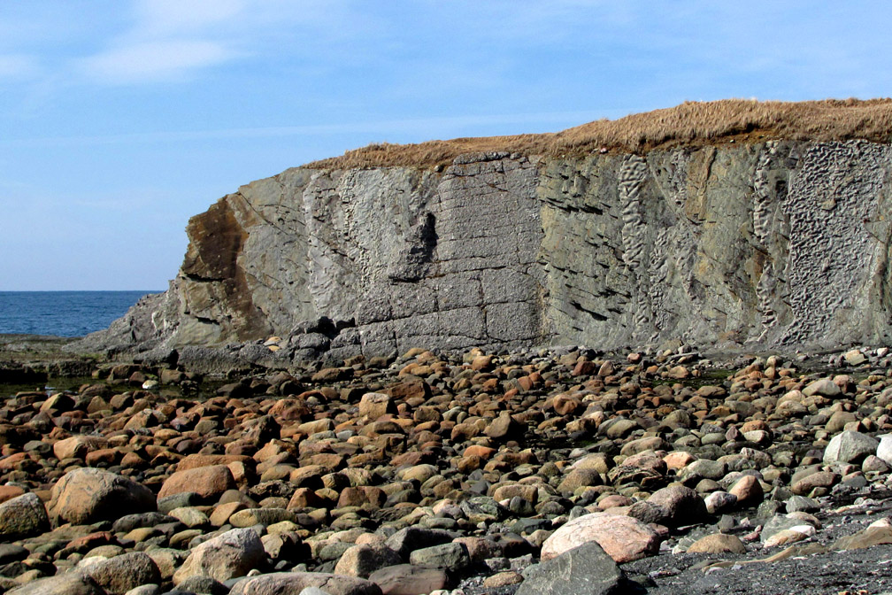
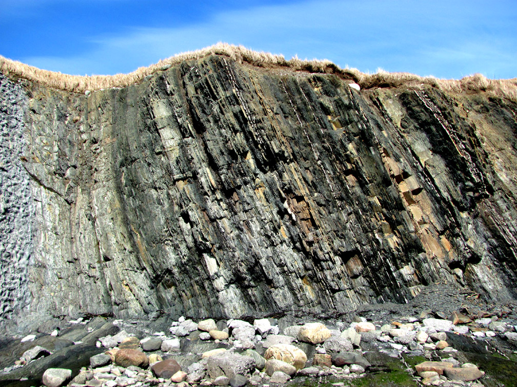
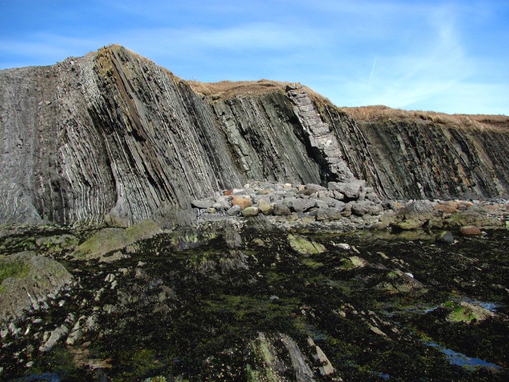
12km (7mi) north of Rocky Harbour, hikers come to Green Point, which in the year 2000 was designated the Global Stratotype Section and Point (GSSP) representing the boundary between the Cambrian and Ordovician geological periods.
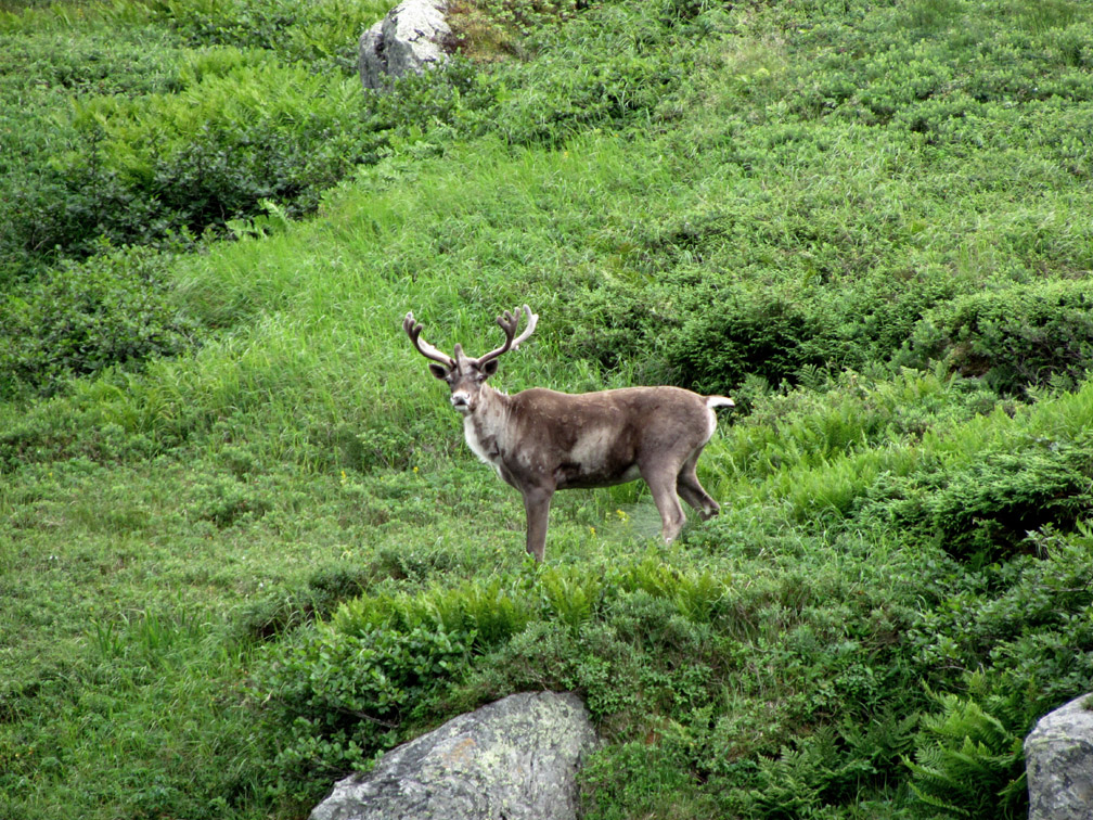
The coastal lowlands in this region and north to Portland Creek are a good place to see small herds of caribou in Spring and Fall, before and after they spend summer months in the nearby mountains.
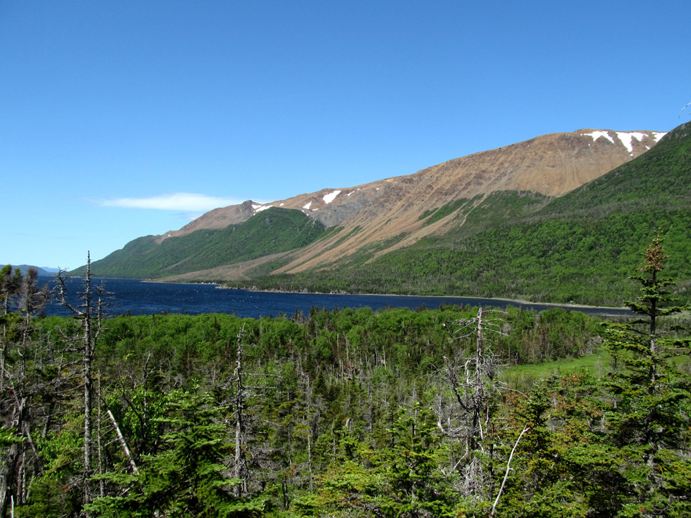
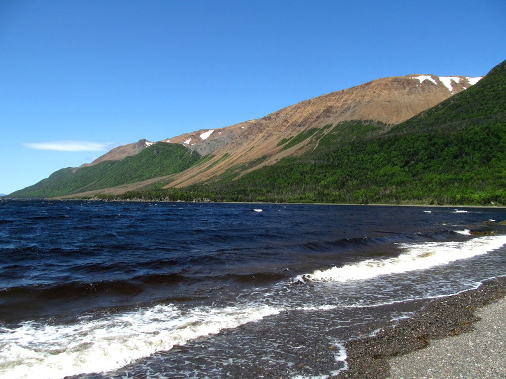
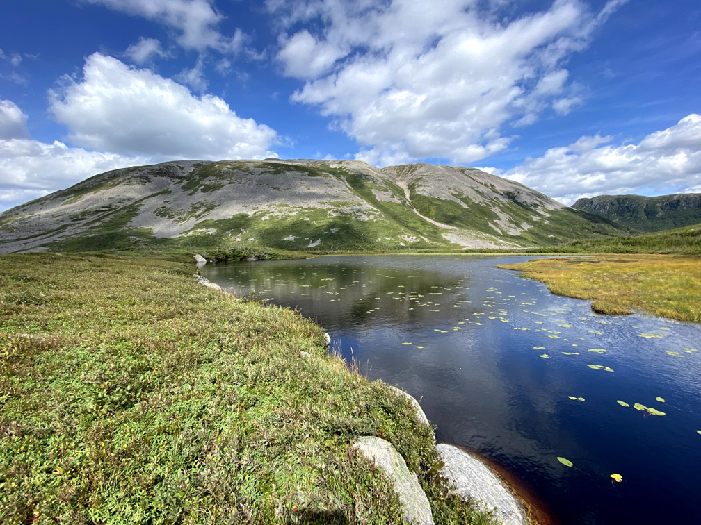
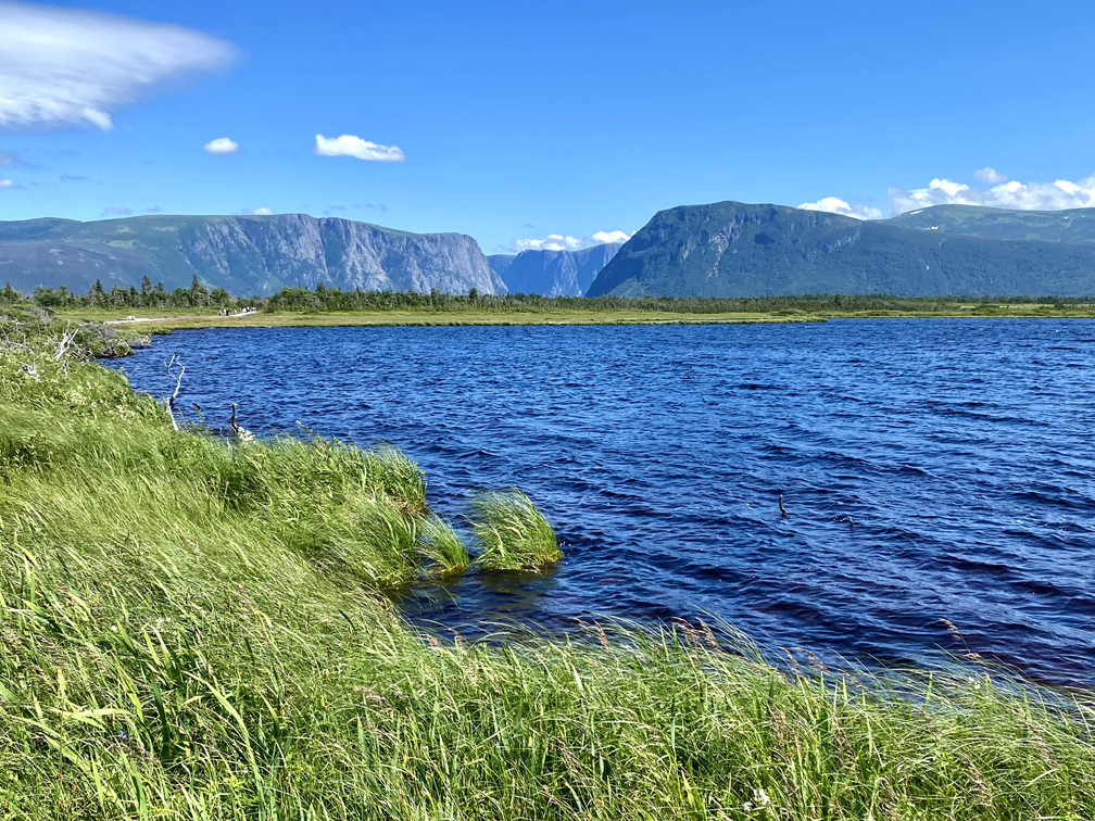
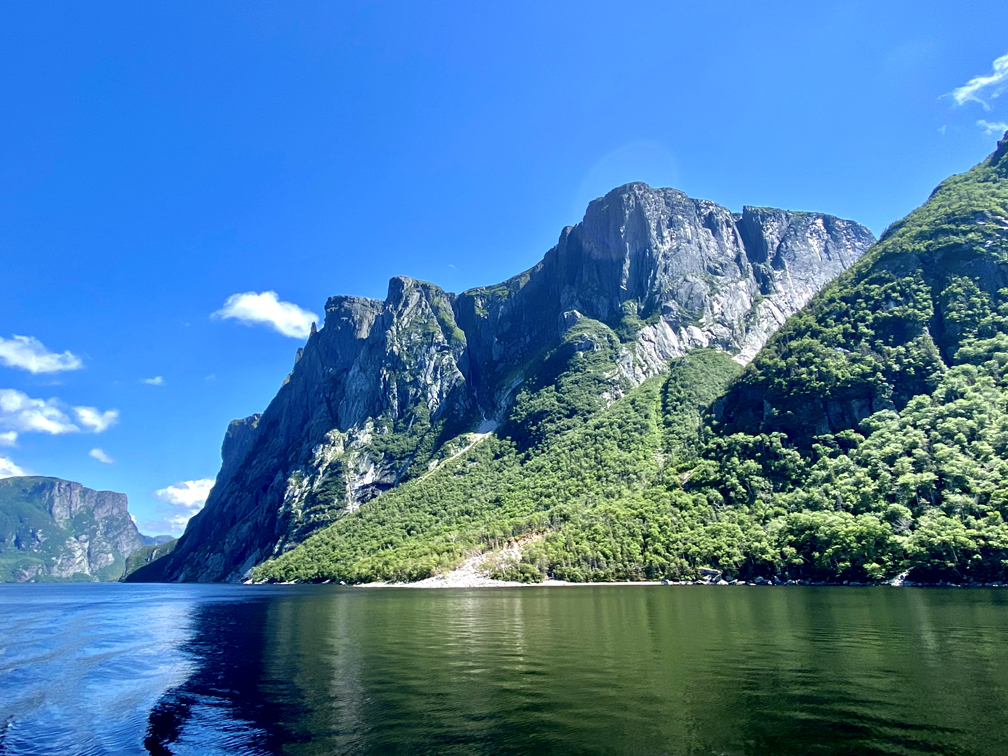
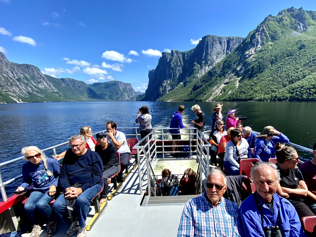
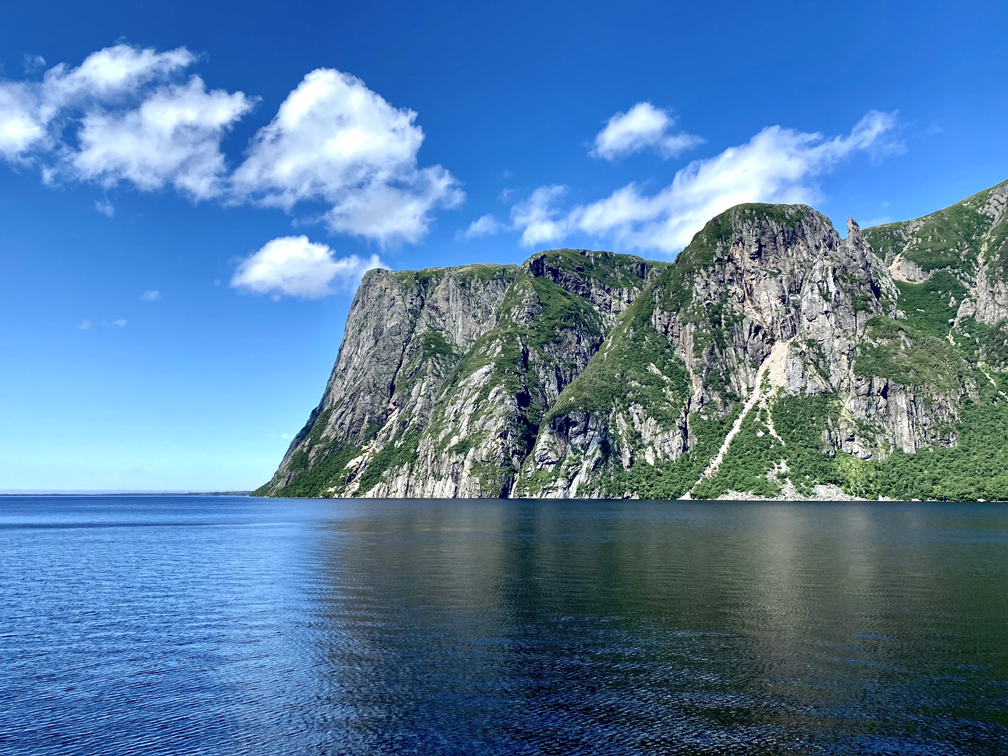
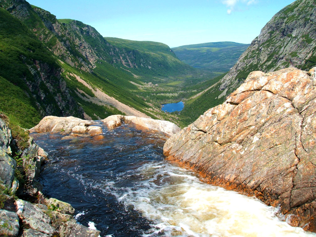
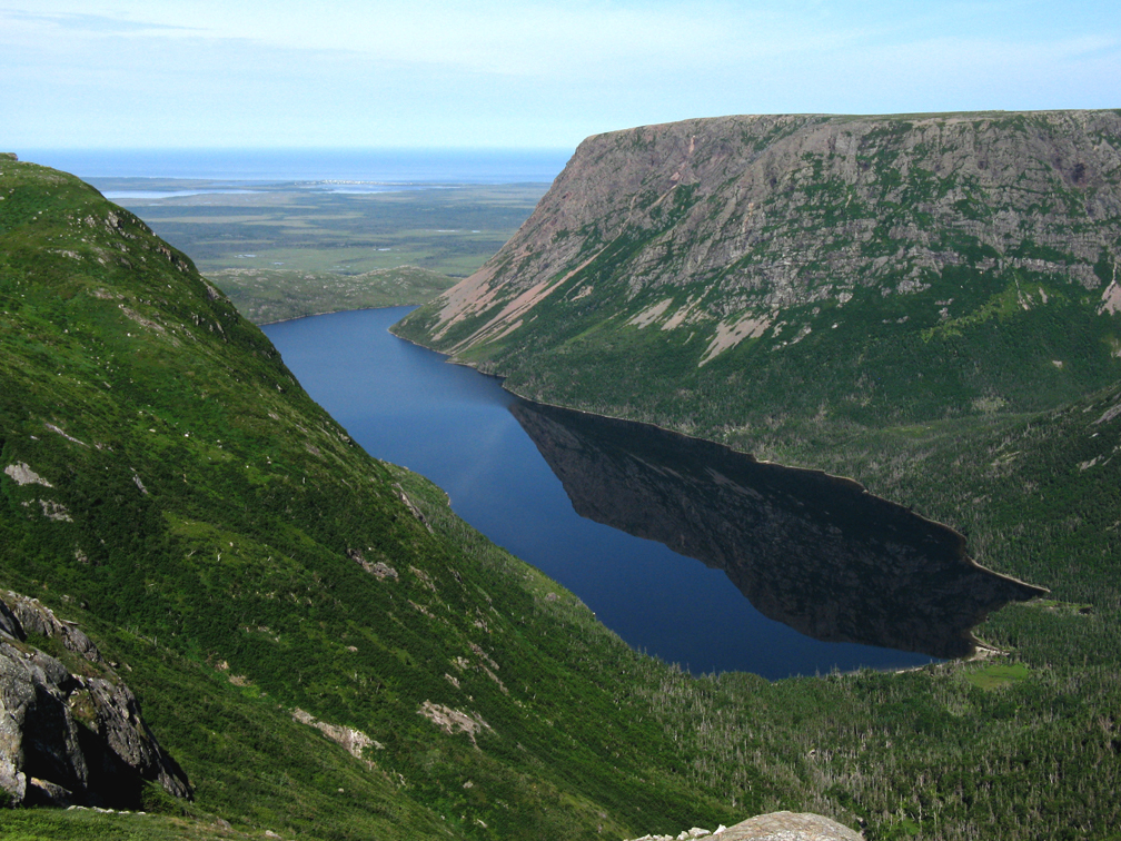
After another 13.5km (8mi), the route passes the walking trail to Western Brook Pond, where hikers making the Long Range Traverse north to south have to take a boat ride to the eastern end of the lake, unless they start with the North Rim Traverse which adds another 2 days to the trek.
The 2-hour round trip boat tour on one of the two larger boats is popular with tourists throughout summer and is one of the park’s most popular attractions.
16.5km (10mi) north of Western Brook Pond is the turn off to Cow Head, home of Gros Morne National Park’s Shallow Bay Beach and Campground
as well as Gros Morne Theater, where visitors can take in live music and plays reflecting local history and culture.
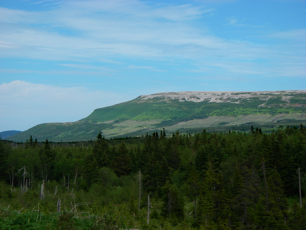
Once back on track, it’s 23km (14mi) to the intersection of Five Mile Road, a gravel logging road that heads east for 7km to the base of the Flat Hills, where hikers will find the trailhead for the 3-day IATNL Indian Lookout Trail and 2-day East Brook Trek.
Just 2km further is Arches Provincial Park, a day-park that features a natural geological formation on the beach.
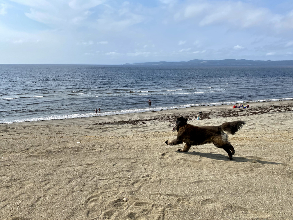
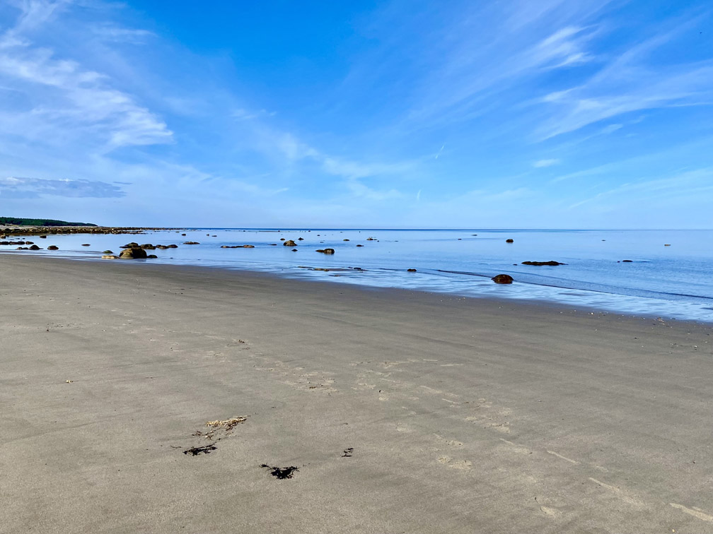
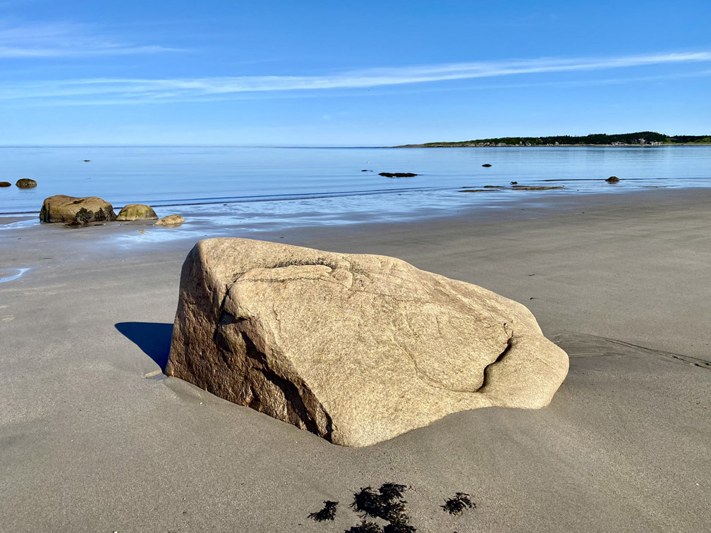
And 6km (3.5mi) past the Arches is Portland Creek, a small community with a 1km long sandy beach with sunsetting vista and good place to camp near the river.
After following the river bank and crossing the bridge, hikers can return to the beach approximately 100m past bridge. From there it’s possible to walk the 5.5km of diverse beaches to Daniel’s Harbour, which is the last town along the route prior to the 57km (34mi) inland gravel logging road trek to Hawke’s Bay.
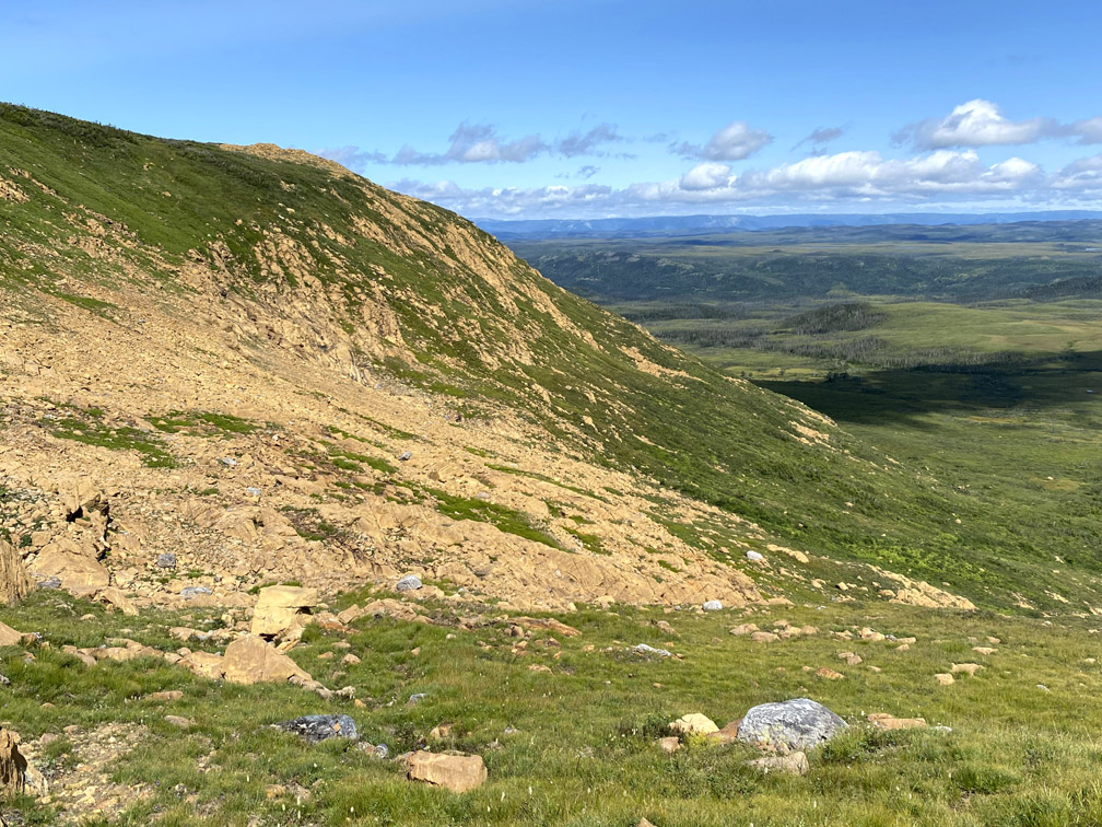
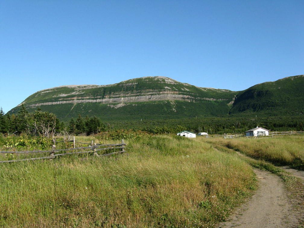
The trek through the interior is through boreal forest with closeup views of the occasional moose and caribou and distant views of the Long Range Mountains, which after Daniel’s Harbour are further from the coastline. Traffic is limited to the odd wood truck and solitary pickup truck of a remote cottage owner or avid fisherman coming or going to his favorite fishing hole.
From Hawke’s Bay, it’s a 20km (12mi) walk along Route 430 and a secondary access road to Port au Choix, where a short side trip to Point Riche Lighthouse and a National Historic Site museum dedicated to 6,000 years of indigenous occupation (including Maritime Archaic, Dorset and Groswater peoples) may also provide an opportunity to see a small herd of caribou that makes its home on the small peninsula that marked the end of the French Shore of Newfoundland from 1713 to 1783.
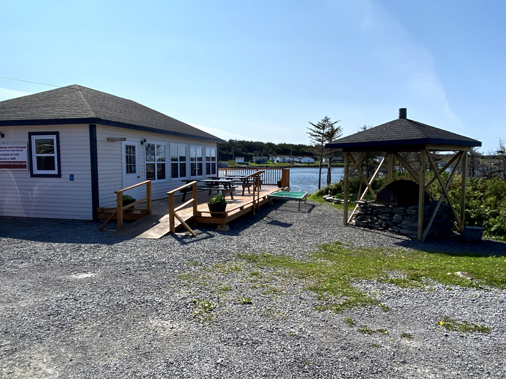
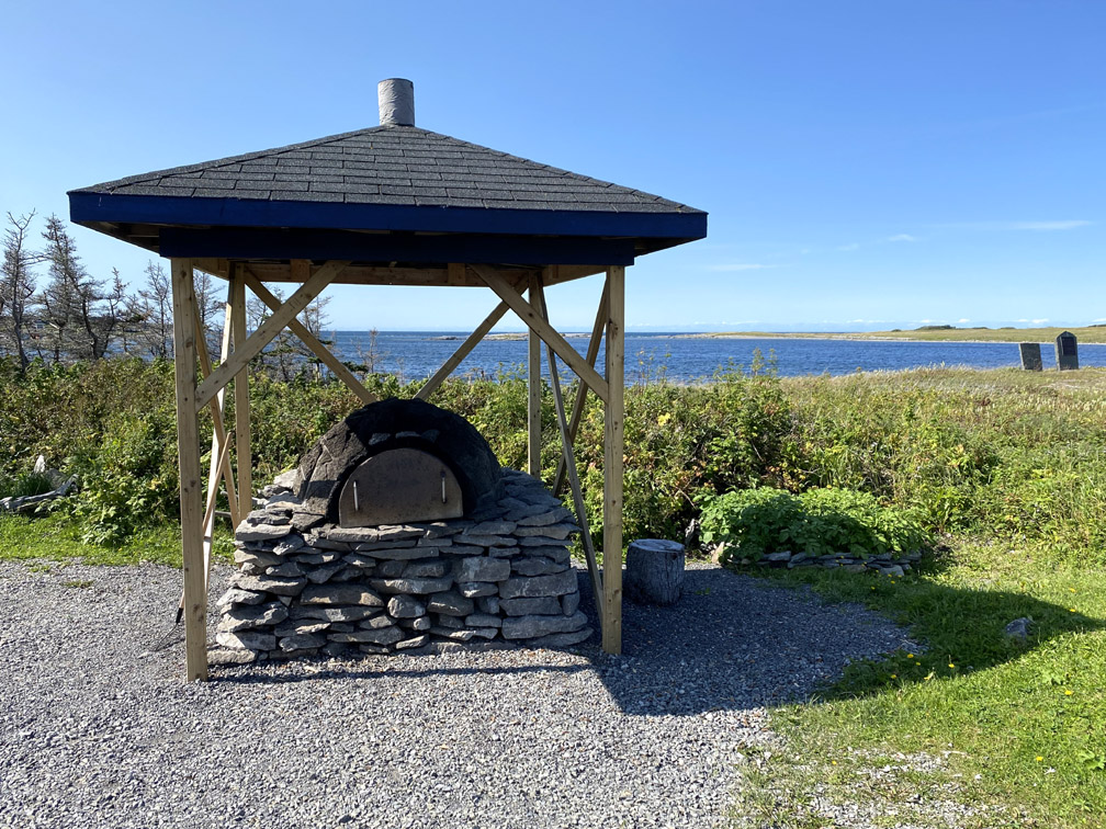
The French Rooms Cultural Centre provides an opportunity to learn about local French heritage while sampling freshly baked bread from a reconstructed outdoor French bread oven.
Heading north from Port au Choix, the thru-hiker’s route continues on the looping access road until it returns to Route 430 just south of Eddie’s Cove West and east of the Highlands of St. John
then continues for another 110km (66mi) to Eddie’s Cove East, where it picks up the old little-travelled coastal highway for 40km (24mi) until it reaches Route 435 just west of Pistolet Bay.
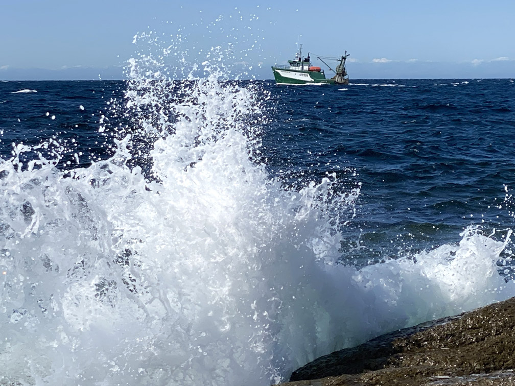
Along the way the route often hugs the shoreline, where there can be as much – or as little – traffic on the water as on land.
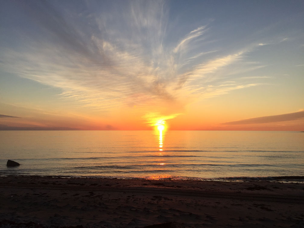
Being on the western coast and eastern shore, there are also a myriad of colorful sunsets on the water, with no two ever alike.
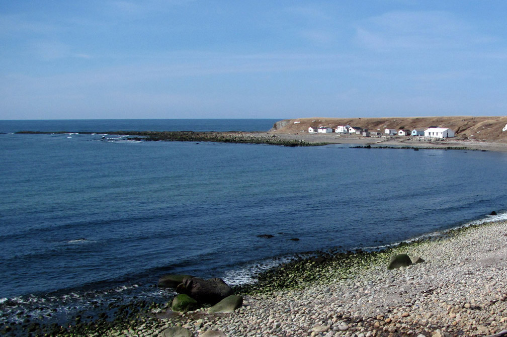
On the shore at Flower’s Cove, hikers will find 650 million year old thrombolites, which are very rare fossilized structures composed of bacteria and algae that are formed in shallow water.
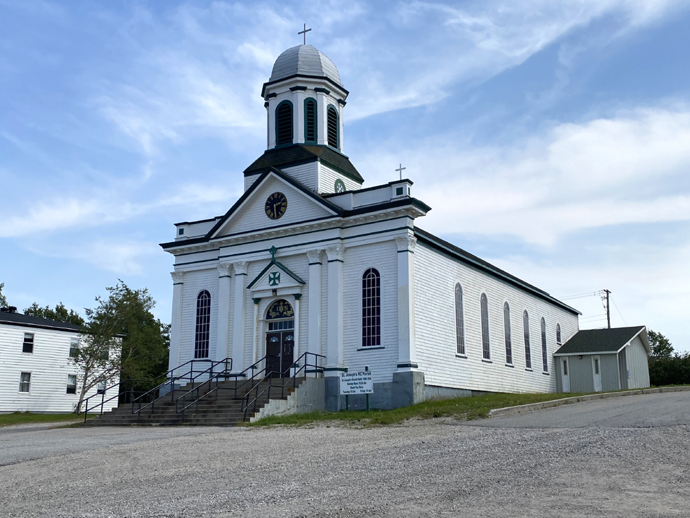
At Flower’s Cove they will also find St Barnabas Anglican Church, aka the Skin Boot Church, which was built in the 1920s from proceeds earned by the making and selling of sealskin boots.
The coastline northeast of Flower’s Cove is composed largely of limestone barrens, including Watt’s Point Ecological Reserve east of Eddie’s Cove.
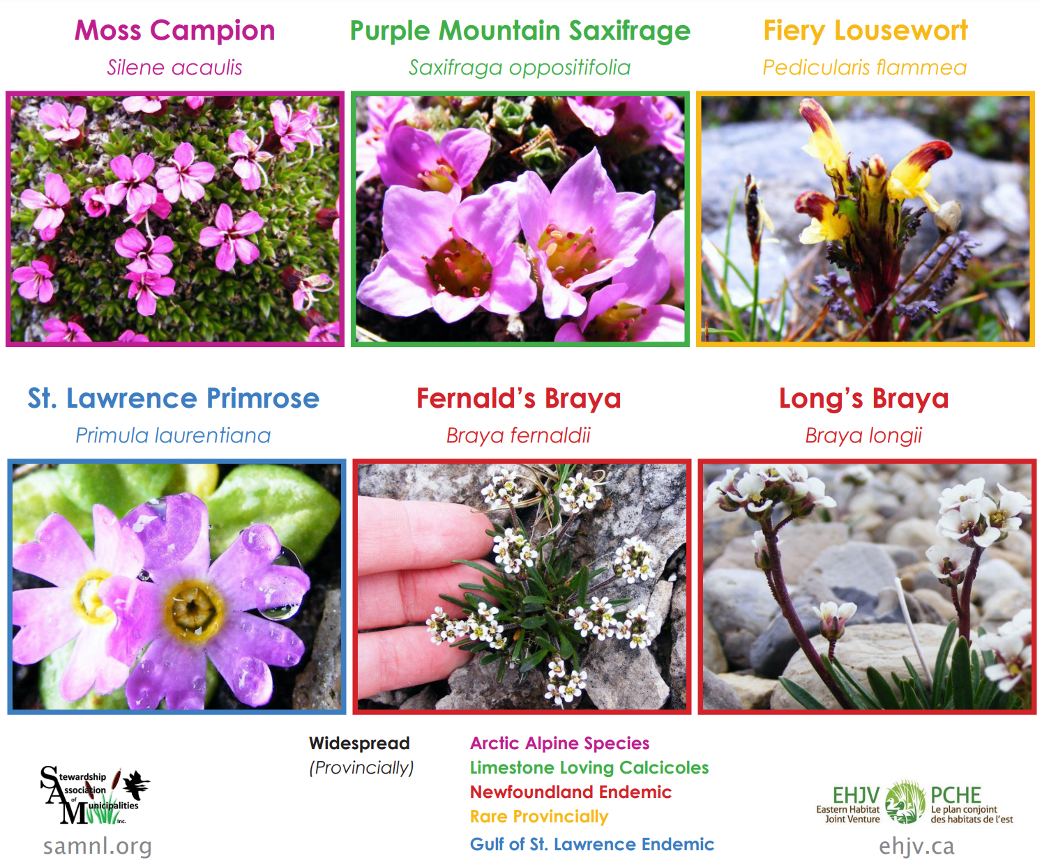
This 7km stretch of calcareous barrens with sub-arctic climate supports a unique variety of rare and endangered plants, some of which, like the Barrens Willow (Salix jejuna) and threatened Fernald’s Braya (Braya fernaldii), are found only on Newfoundland’s Great Northern Peninsula.
Hikers leave the limestone barrens in the rearview mirror when they reach Route 435, and must walk around the bottom of Pistolet Bay before returning to Route 430. From there it’s 8km (5mi) to Route 436 and the final 27.5km (16.5mi) stretch to Crow Head.
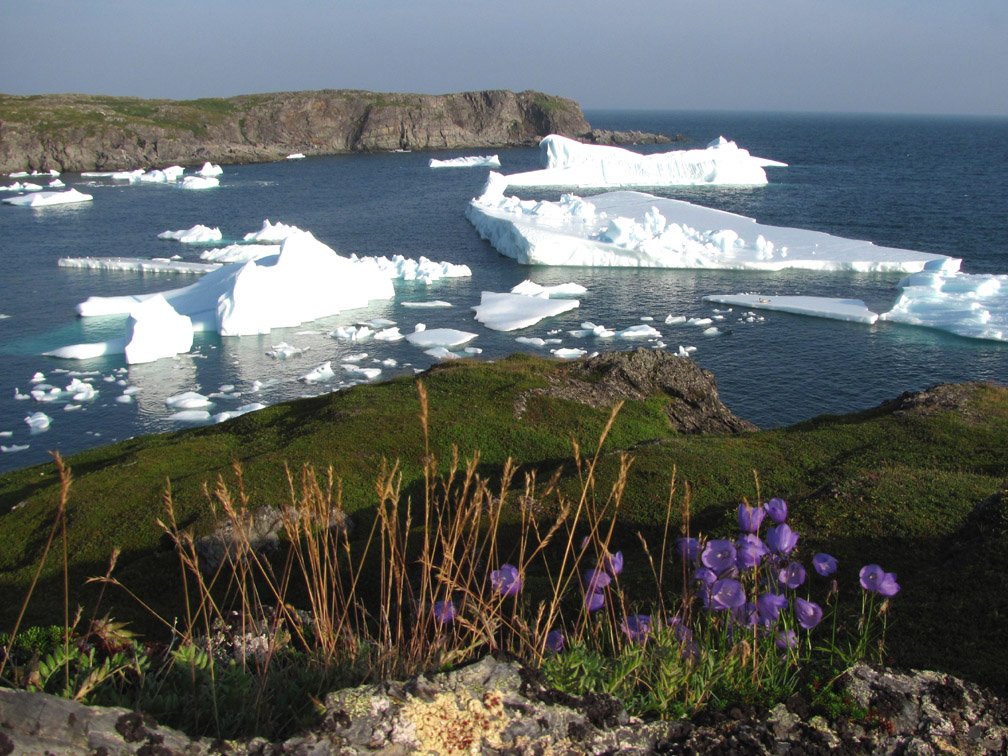
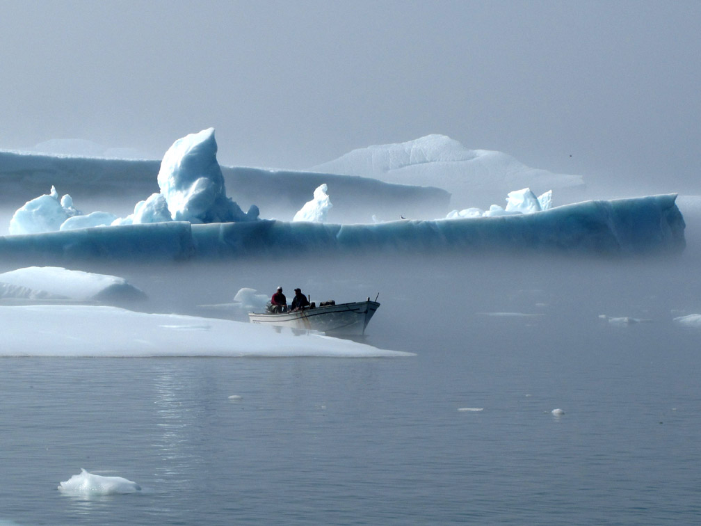
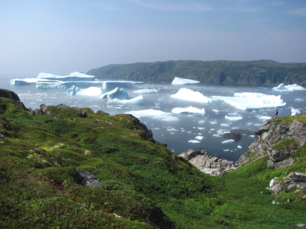
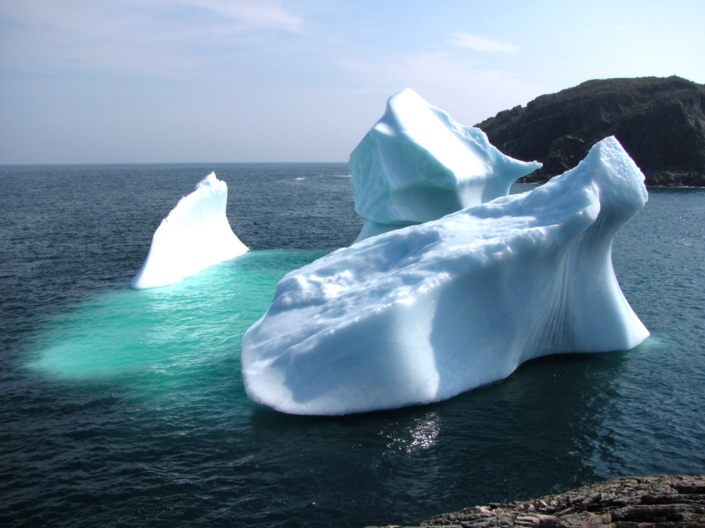
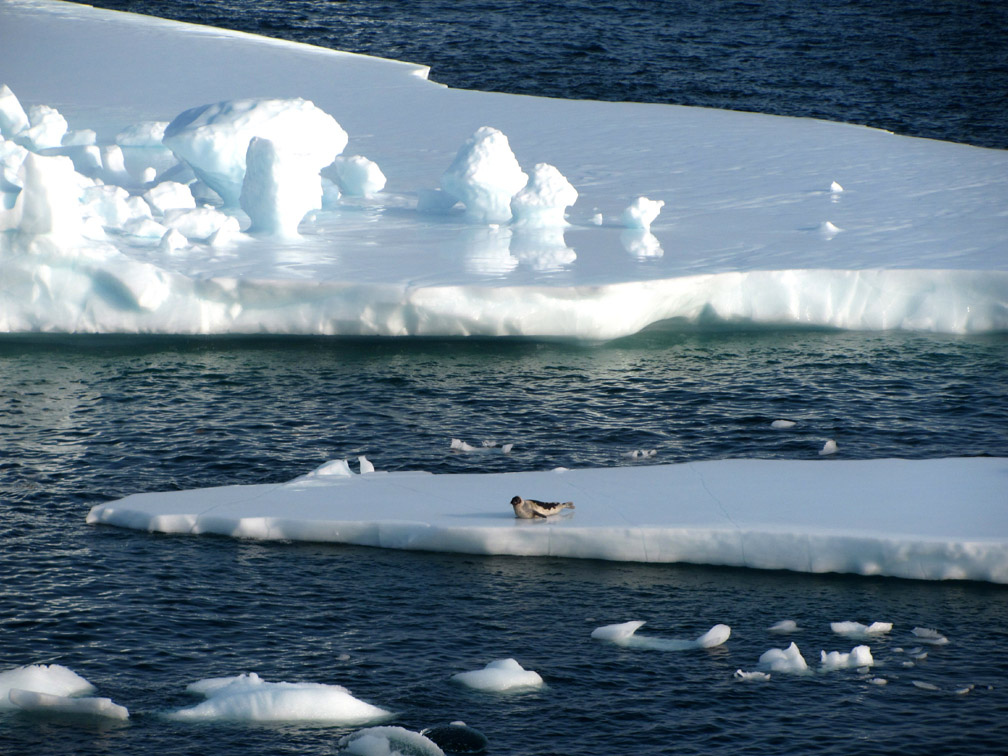
From early spring to late summer, the waters around the tip of the Great Northern Peninsula may be dotted with icebergs floating down on the Labrador Current from Western Greenland. Bays and coves along the coast often corral and hold them until they melt away or wash ashore.
Occasionally seals, who have their young on the ice flows as they drift south, come to shore and can be found resting and sunning themselves in a harbour.
For those hiking in Spring, be sure to check news and social media posts to make sure there are no polar bears in the region, as many follow the seals south on the ice, then swim ashore and walk home via the coastline.
One can only imagine the awe and terror that these animals inspired in early European explorers and fishermen, having not been familiar with these formidable creatures. The Basque fished and whaled in this region in the 16th century, followed by the French from the early 17th to late 19th centuries when the northeast coast was known as Le Petit Nord.
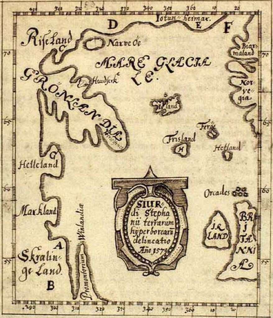
However, long before the Basque and French, the Norse explored the coast of Labrador and Newfoundland’s Great Northern Peninsula (identified as “Promontorium Winlandia” on the Icelandic Skálholt Map) at the end of the first millenium AD.
In the 1960s, a Norse settlement was discovered at L’Anse aux Meadows at the end of Route 436, 2.5km from the end of the IATNL Thru-Hiker’s Route at Crow Head. Today it is the location of L’Anse aux Meadows National Historic Site and UNESCO World Heritage Site.
After making the 1.2km walk up Cape Raven Trail from Route 436 to Crow Head, where the view hasn’t changed for millenia, it isn’t difficult to imagine 1,000 years of European discovery and exploitation preceded by thousands more of indigenous occupation … and millions of thru-hiker footsteps!!