The IATNL Grand Codroy Way is 29km (17.5mi) traverse of the Long Range Mountains in southwestern Newfoundland, from tower road opposite the entrance to Cape Ray in the south to the parking lot of Starlite Trail in the north.
Both the north and south trailheads are easily accessible, being just off the Trans Canada Highway. In the north, the trail route starts with a hike up to the top of the 2.6km long Starlite Trail, managed by the Codroy Valley Area Development Association (CVADA).
From the summit of the first mountain peak at an elevation of 370m (1,214ft), hikers get a good view of the grassy slope ahead, Campbell’s Pond (surrounded on three sides by mountains) and the profile of mountains to the south.
The grassy slope can be deceiving from a distance, since in late summer the grass and shrubs can be waist high. Climbing through it along the north rim overlooking the pond provides a closer view of the 100m (328ft) high cascade entering the back of the pond and a different perspective on the surrounding mountains.
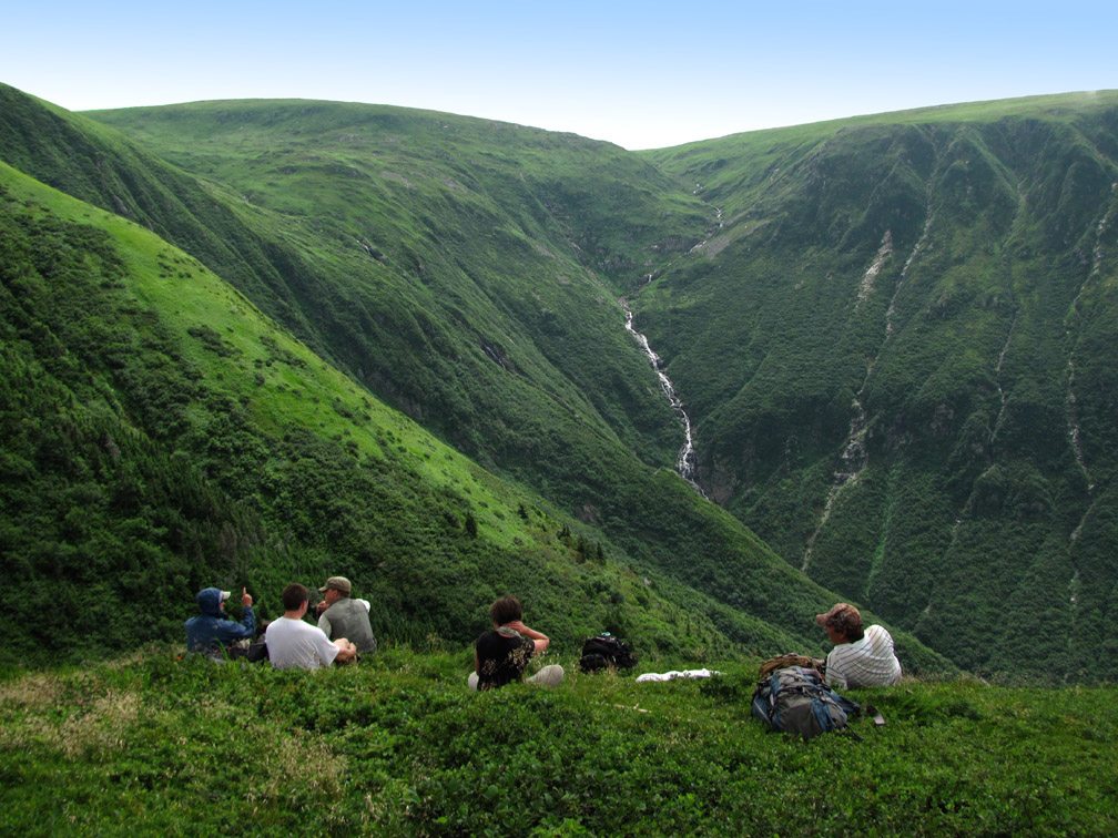
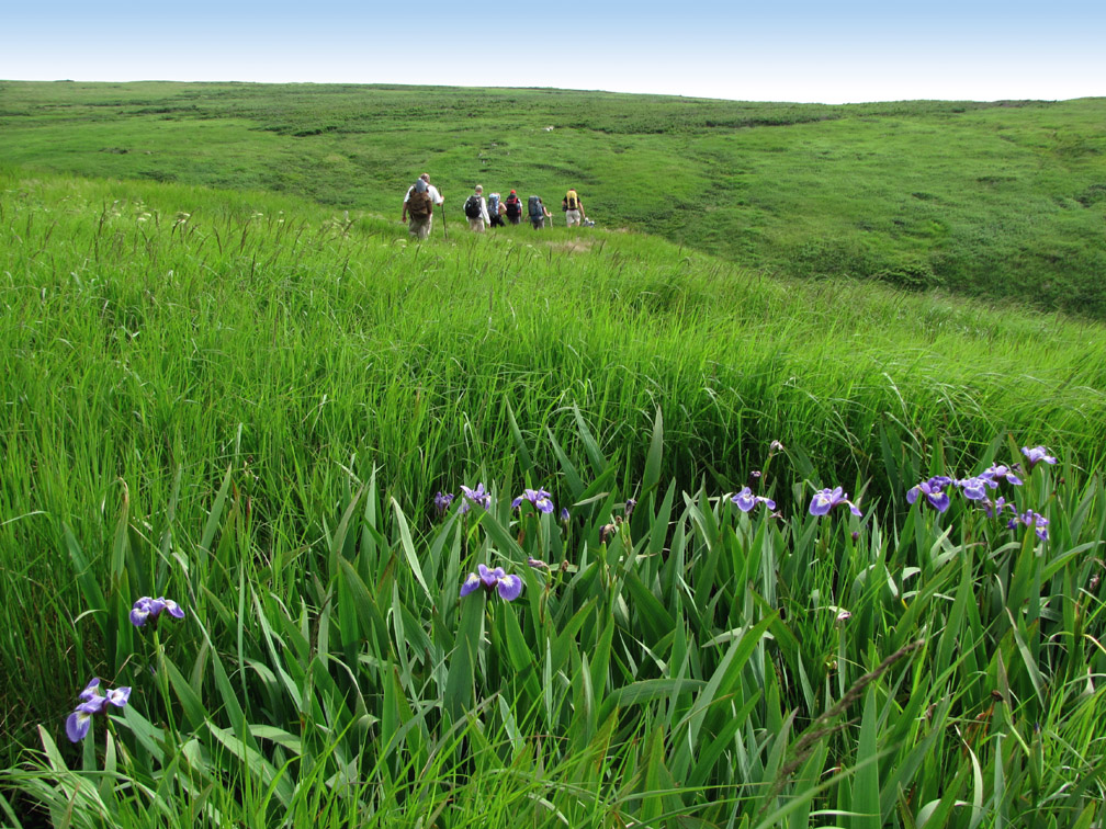
After climbing the long grassy slope to an elevation of 580m (1,900ft), the terrain flattens out to form a lush green plateau, with no trees and little scrub, but with nice long views of the gulf coast.
Occasionally it is necessary to cross a small brook, like those flowing into Campbell’s Pond, which provides a good opportunity to replenish water supplies or cool off on a hot day.
Before long the route comes to the second of three glacier-carved gulches, or canyons, that carves through the mountains from east to west.
They each provide a glimpse of the coastline, and the shelter, stream, and sunset vista provide a good location to set up camp for the night.
This section of the trek has plenty of ponds of varying size, which adds extra detail to the landscape and fewer straight lines.
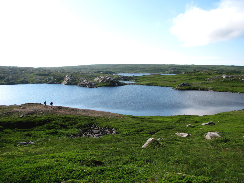
In addition to the green grassy meadows and deep blue ponds, there are also many gray granite boulders and rocky outcrops.
After crossing the height of land south of middle gulch, hikers come to Trainvain Gulch, a 4km long introduction to the larger inland fiords of the Great Northern Peninsula.
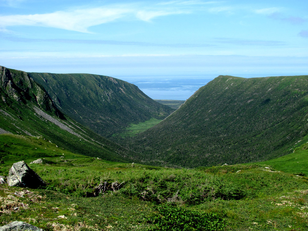
And like the mountains of the Great Northern Peninsula, you never know when a moose or caribou may appear on the horizon or come out from behind a patch of scrub.
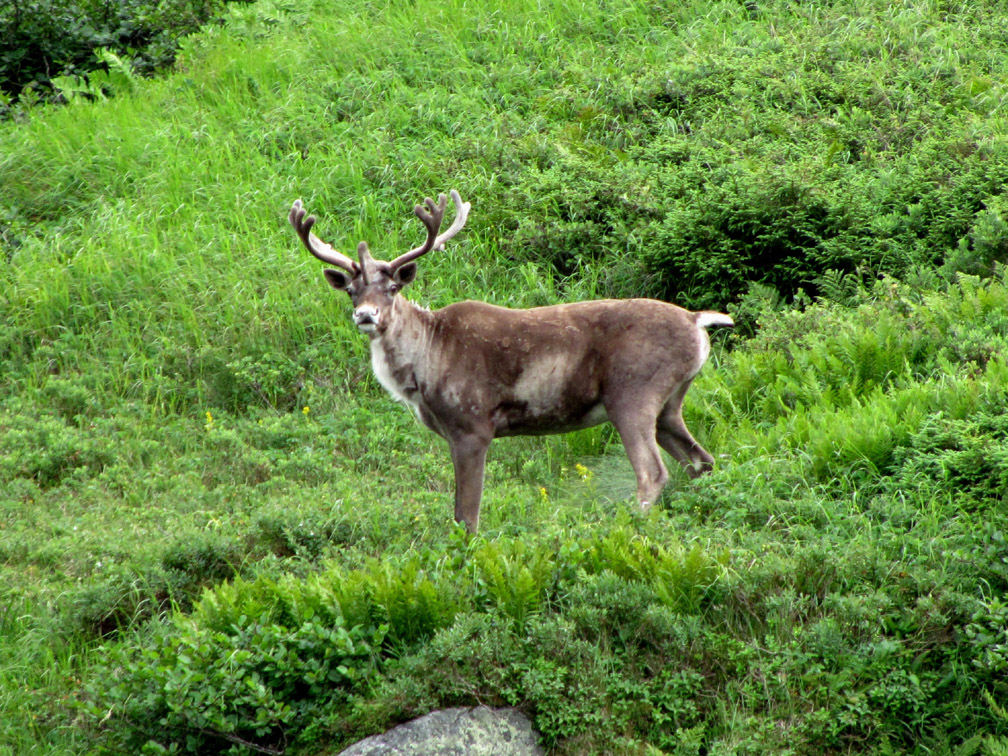
Walking up the back end of the south rim leads to Table Mountain, a 580m (1,900ft) high plateau with a commanding view of the surrounding mountains and coastline.
As the cliche goes, it’s all downhill from here, starting with a 4km (2.6mi) walk down a long gentle slope to the edge of the mountains overlooking Big Pond. Much of the route here is on an ATV trail across the barrens and through patches of 4 to 6ft scrub.
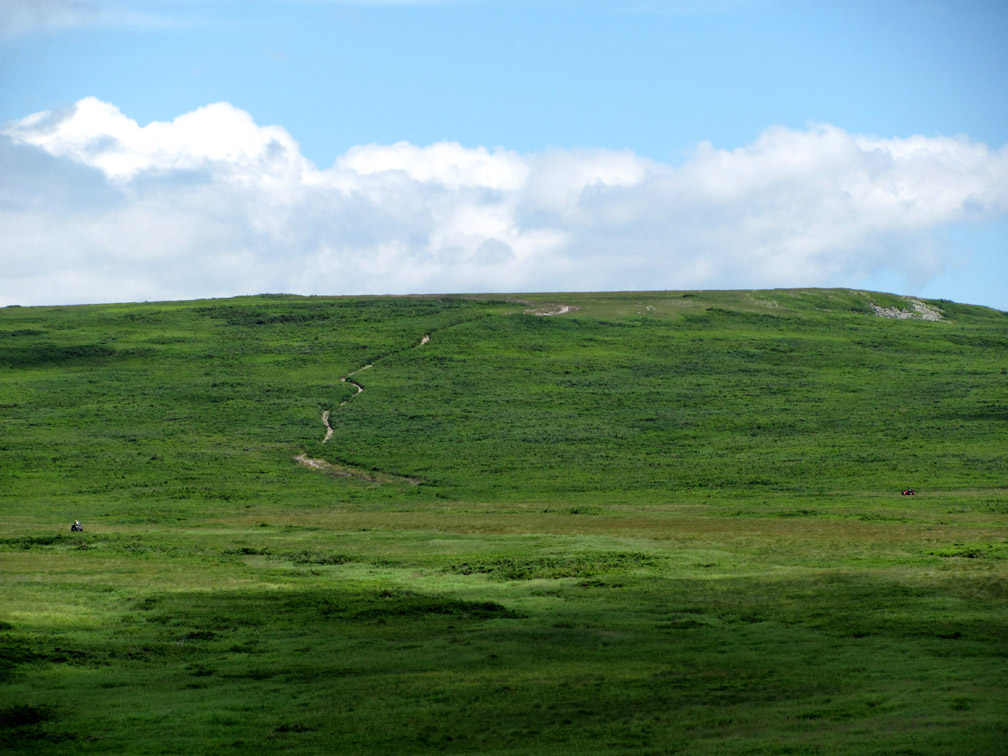
The view north along the mountains is striking, and includes the coastal plain and codroy estuaries all the way to Cape Anguille, as well as the pyramid-shaped headland named The Tolt on the southwest corner of Trainvain Gulch.
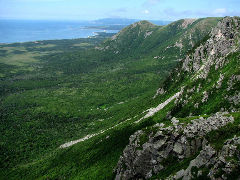
The 1.3km walk south along the edge of the mountains provides several different views of Big Pond below, located 2km north of the southern trailhead.
At this point hikers are near one of two communications towers and the gravel access road that will bring them down off the mountains.
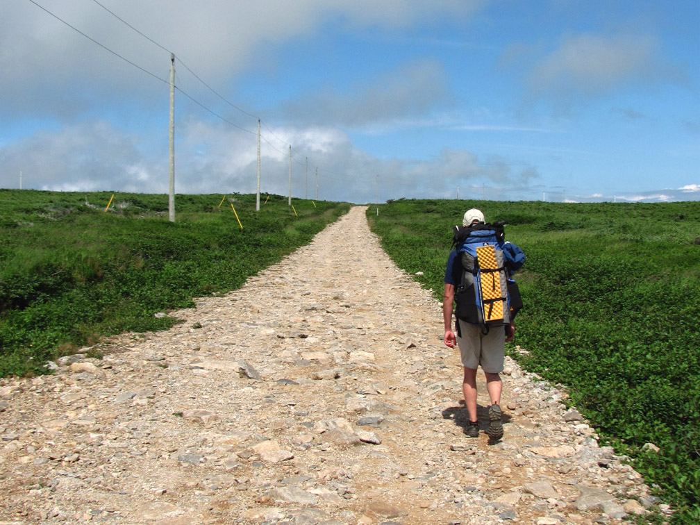
Along the way the road passes a lush green mountain valley, reminiscent of more domesticated pasturelands in the UK and Ireland
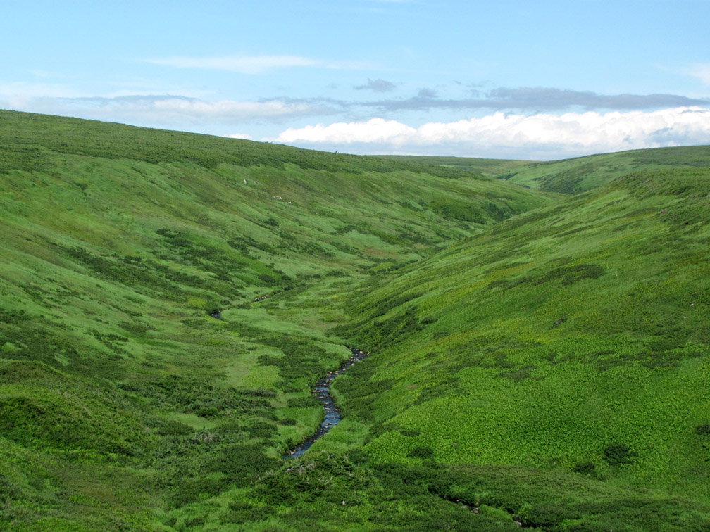
before making a final turn and descending 335m (1,100ft) over 3km to the end of the hike and road.