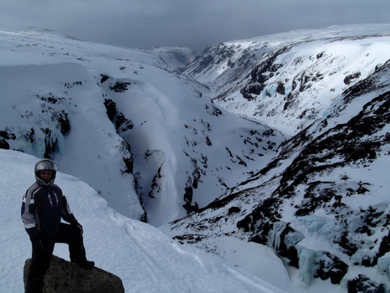
On the morning of June 23, IATNL members Ulrica Murley Pye, Sharon MacDonald Lahey, Delano Pittman and Paul Wylezol set off up Winterhouse Gulch on the northeast side of the Tablelands in Gros Morne National Park on a mission to identify and gps track the route for Stage One of the 4-stage UltramaTrex, a 7-9 day trek across the ultramafic sections of the four Bay of Islands Ophiolite Massifs.

Before long hikers reach a stretch of boardwalk that winds its way up to a viewing platform


The sweeping vista on top includes a rust-colored peridotite plateau stretching in every direction.

Turning west, the rock strewn landscape soon transforms into a grassy plain dotted with small wetland pools that are easy to maneuver around.

After an easy half-hour stroll then lunch break

the trek returned to a rust-colored rocky landscape that gradually descends to Fox Point Gulch.

At the back of the gulch, hikers get a terrific view south that extends to Trout River Pond and the Elephant head beyond.


Soon the cliff edge leads to a small gully

that enables hikers to descend to the valley floor below.

The easiest route is found by staying to the left and shuffling down a scree-filled chute with small loose stones.

Once at the bottom, a glance to the left reveals an impassable falls at the rear of the gulch.

However the route down through the gulch couldn’t be easier

and eventually leads to a wide level bench above the rocky brook.

Here and there small streams appear from nowhere out of the rocky ground

and together form a sizeable stream that cascades out of the gulch towards Trout River Pond.

A series of small waterfalls and pools look like a refreshing place to cool off on a warm summer day

before making the 5km trek to the Trout River Pond Trail trailhead.
At the entrance to the gulch the brook turns east as our hikers turn west

and after a 2km trek across open country

disappear into a forest trail for the last stretch home.


