The IATNL Grand Codroy Way on the eastern flank of Codroy Valley is a good introduction to Newfoundland’s Long Range Mountains and IATNL wilderness trail routes. The 29km (17.5mi) trek rises to a height of 580m (1900ft) and includes the Starlite Trail on the northern end.
Click the appropriate box below for more information.
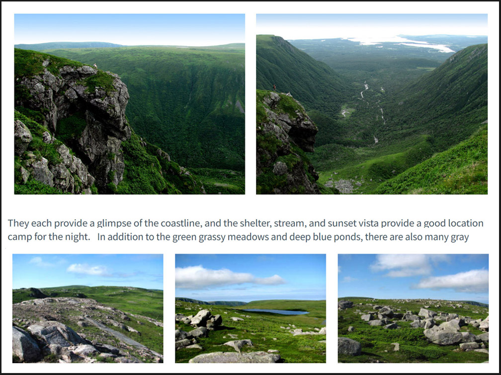
Trail Route Description
Click here for detailed trail route description
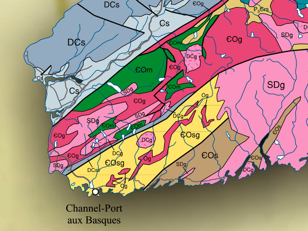
Geographic Information
Click here for geographic info about the Codroy Valley region
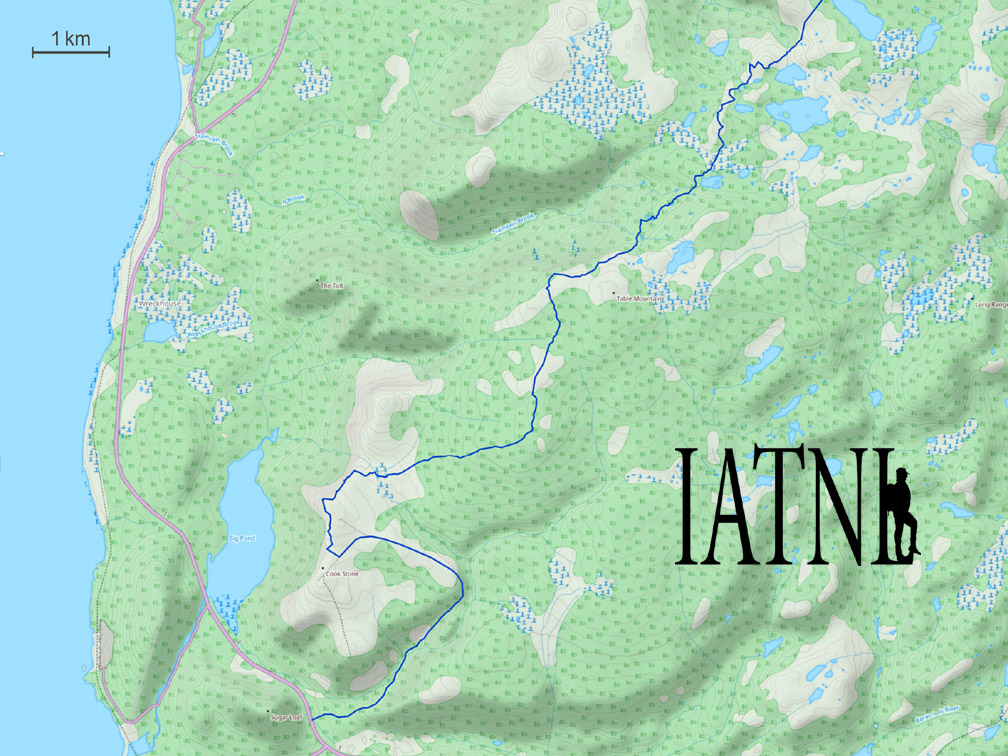
Topographical Map
Click here for trail route topo map
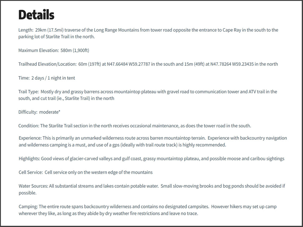
Details & Directions
Click here for summary details and directions
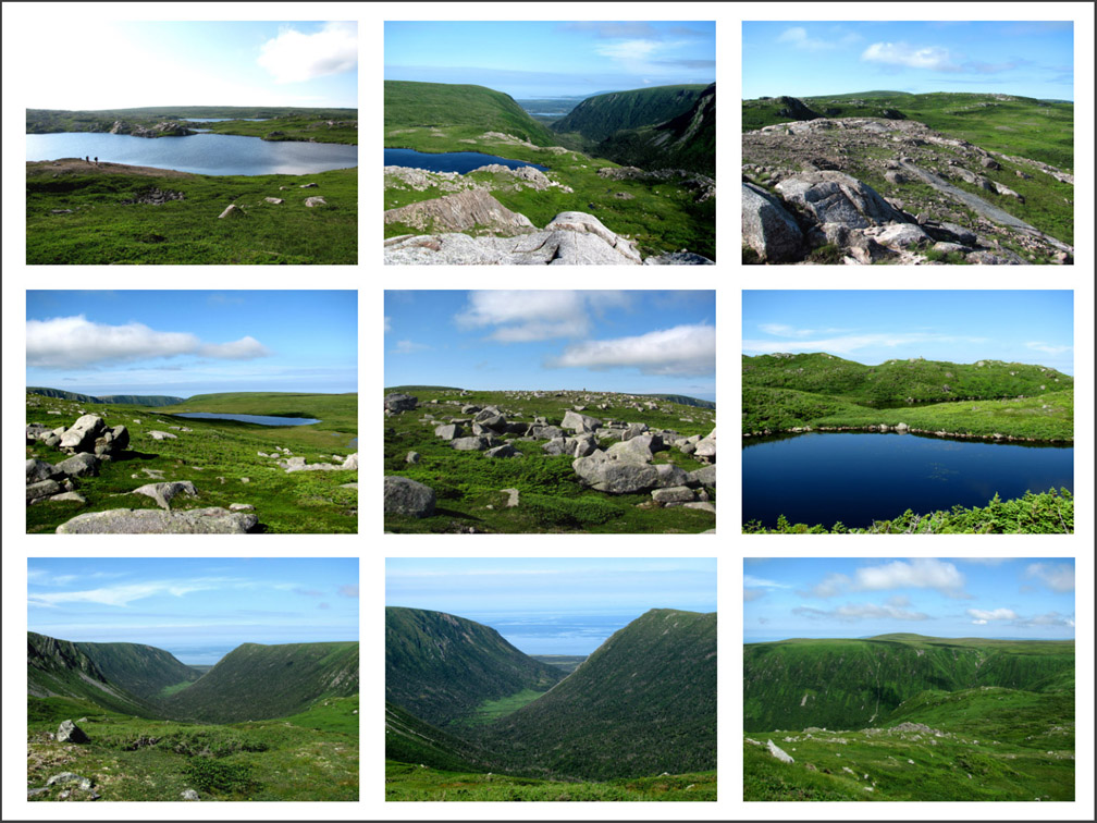
Photo Gallery
Click here for Trail Route Photos
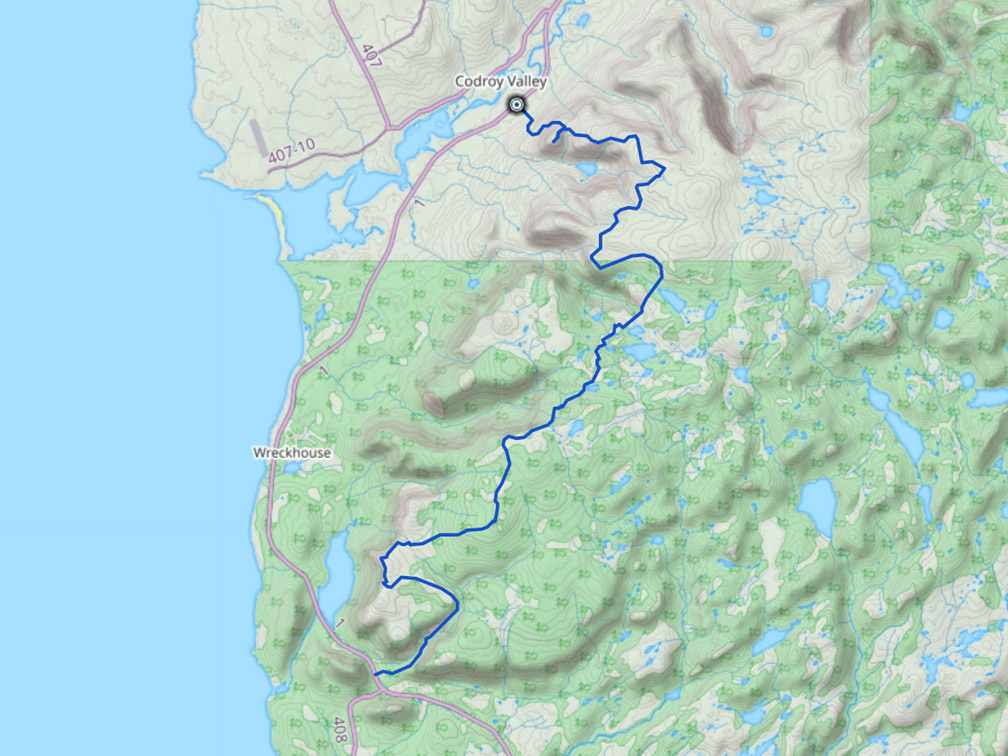
GPS Track
Click here for trail route GPS Track
Select trail route in left column to locate trail route on map, then zoom out. (Click “Map” at top left of map to select Terrain Map)
|
|
|
Filters
|
Trail Route Mapper
Select trail route in left column to locate trail route on map, then zoom out
(Click “Map” at top left of map to select Terrain Map)

