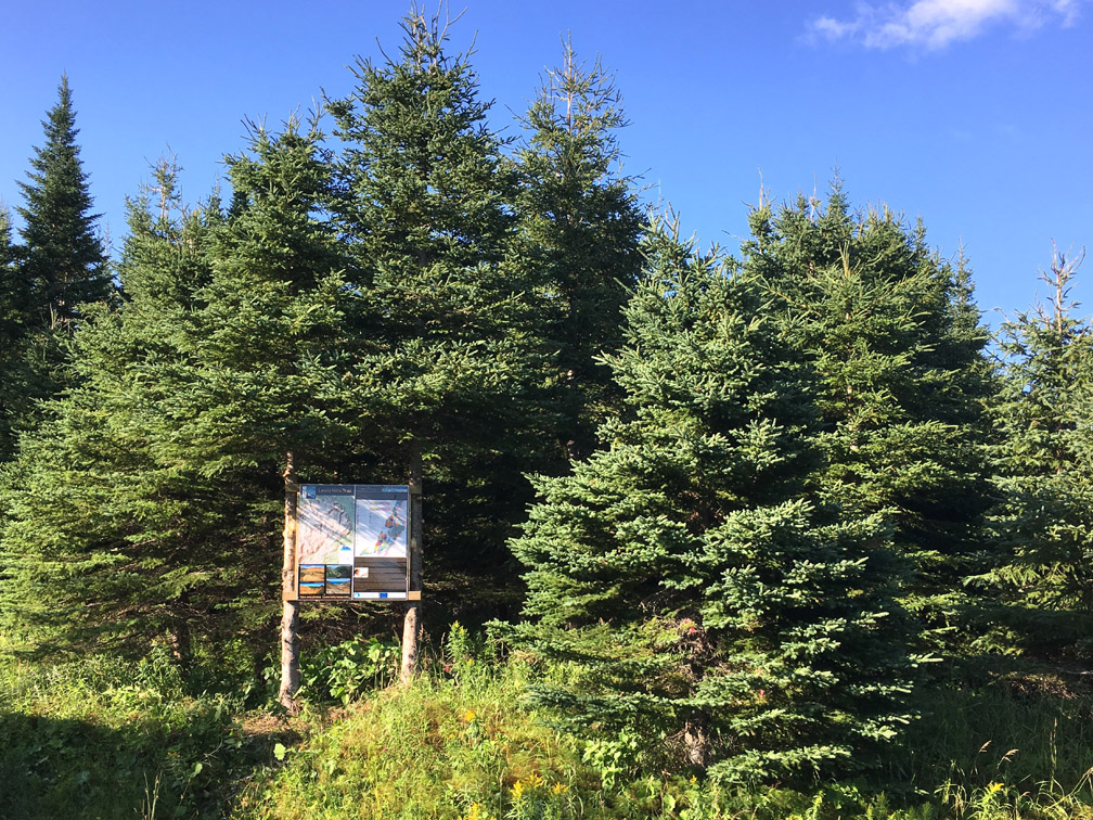
The Cabox Summit is a 27km (16mi) looping trek on the southeast side of the Lewis Hills Ophiolite Massif, which peaks at the 812m (2,664ft) high Cabox, highest point on the island of Newfoundland. The route from Cold Brook Road to The Cabox is identical to the IATNL Lewis Hills Trail, however the return route takes hikers along the south rim of scenic and geologically diverse Travertine Canyon.
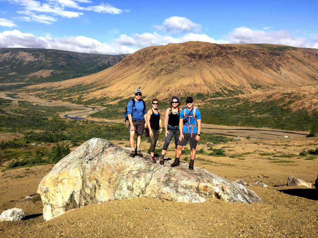
The Lewis Hills – likely named after a French King Louis (Western Newfoundland was explored by renowned French explorer Jacques Cartier in 1534 and was part of the French Shore of Newfoundland until 1904) – are located approximately 18km (11mi) north of Stephenville and 27km (16miles) southwest of Corner Brook.

From the trailhead off Cold Brook Road, the route crosses a 2km wetland revealing spectacular views of a rust-colored peridotite mountain range. This is a section of earth’s mantle similar to Table Mountain (aka Tablelands) in Gros Morne National Park, that was forced to the surface by plate tectonics during the closing of the Iapetus Ocean approximately 500 million years ago.
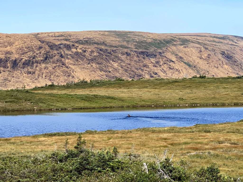
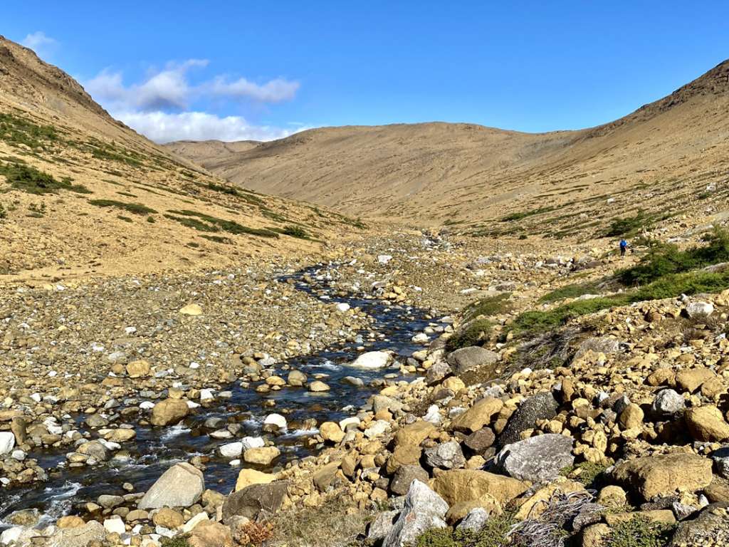
After descending 150m (500ft) before crossing Fox Island River,
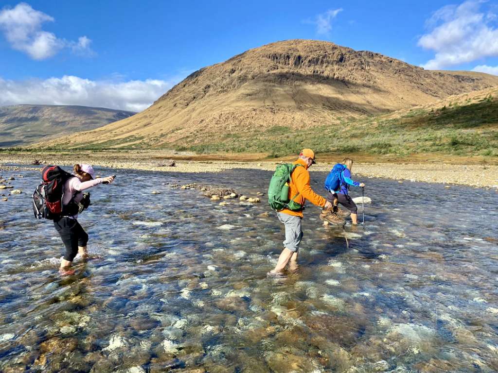
it then rises 400m out of a 3km long “gulch”, passing a series of crystal-clear-cascades-with-small-wading-pools along the way.
Rust-colored ultramafic gulches are characteristic of all four of the Bay of Islands Ophiolite Massifs, with the majority of them located on the north and east sides of the mountains.
Once out of the gulch, the route swings to the right around a looming peak to take advantage of the terrific wide-angle view across a large peridotite landscape dotted with several small ponds
before swinging back to a geological landscape transformed to one primarily of light-gray gabbro from the floor of the Iapetus Ocean, which was originally located above – and not adjacent to – earth’s mantle. Small ponds and rock outcrops here require hikers to weave and bob their way
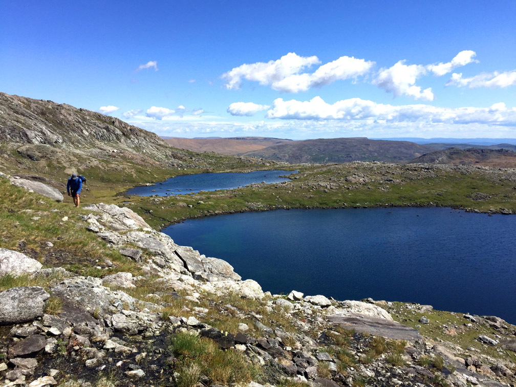
until they reach the base of a large 1km wide grassy summit that rises another 100 meters
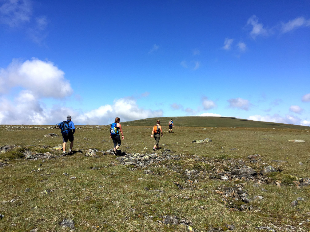
After arriving at destination Cabox and enjoying the view in every direction
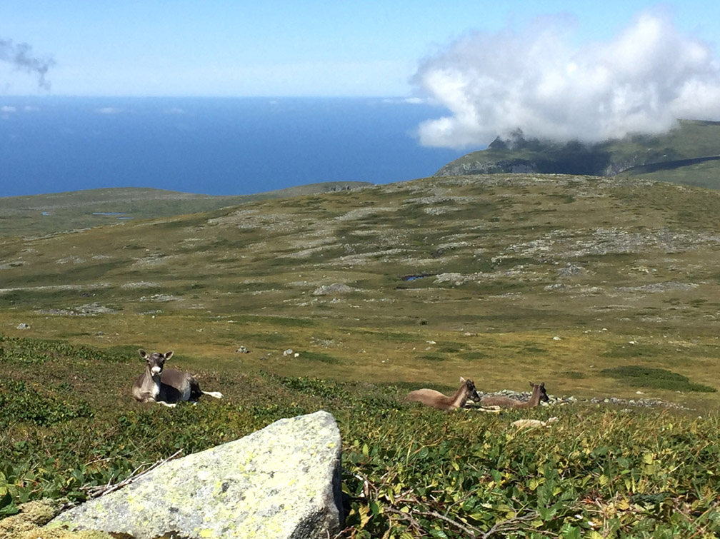
the trail route turns back and retraces the last 1.5km before veering southwest and continuing another 1km on top of the plateau, then turning south and descending in the direction of Travertine Canyon.
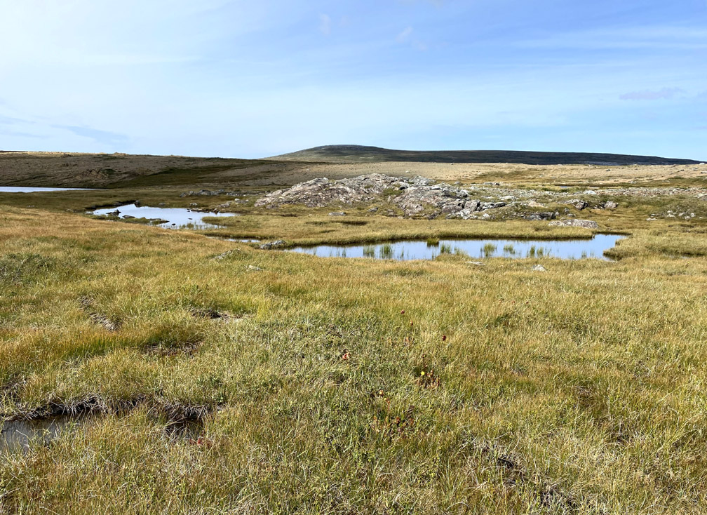
Just above the back end of the canyon, hikers will find a sizeable pond (.3km wide) which they must walk around
before reaching the first view of the north to south glacier-carved canyon into which the pond drains.
From here the route continues south along the eastern rim, across a variety of unusually colored and textured rocks
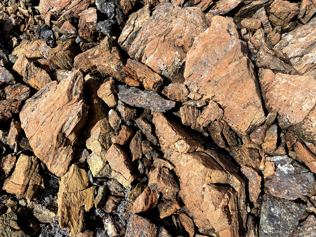
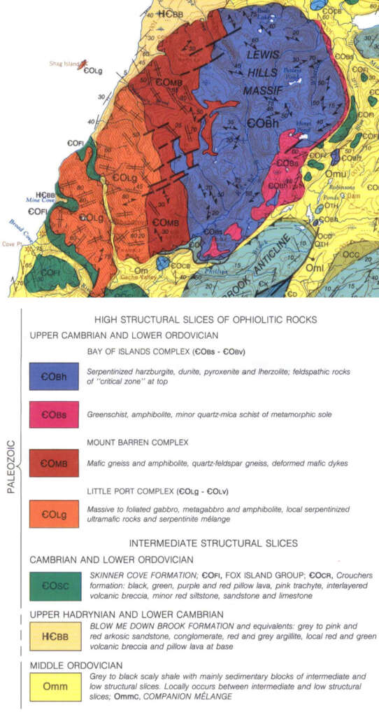
stopping here and there to take in the dramatic views and mysterious geology of the Mount Barren Complex, whose eastern boundary cuts across the back end of the canyon.
The Lewis Hills is the only one of the four Bay of Islands Ophiolite Massifs to contain this little understood tectonic layer, composed primarily of mafic gneiss and amphibolite, quartz-feldspar gneiss and deformed mafic dykes, which is located between the gabbros of the oceanic crust and peridotites of earth’s mantle. It is also the tectonic layer underlying the Cabox plateau, which like the oceanic crust, is more hospitable to plant life than the ultramafic peridotites.
The further along east rim that hikers walk, the more it becomes evident that the two sides of the canyon are dramatically different, with the west wall becoming more and more a vegetated green, while the east wall remains a deserted rust devoid of vegetation.
At the southern end of the rim, a peridotite cirque comes into view to the east
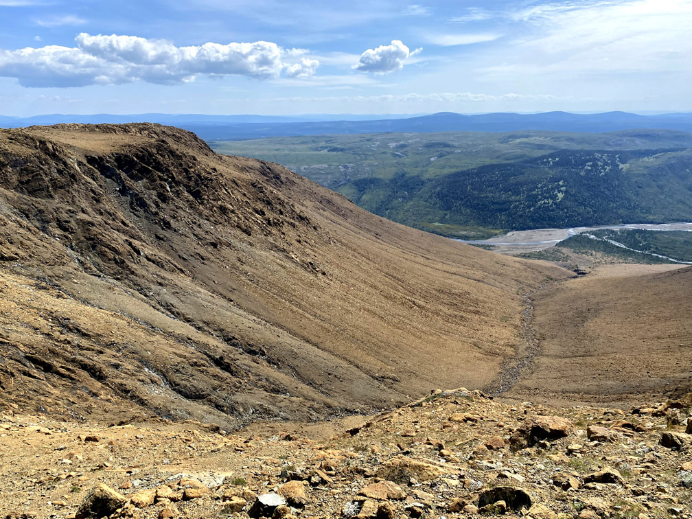
matched by a greener cirque of similar size to the west of the canyon.
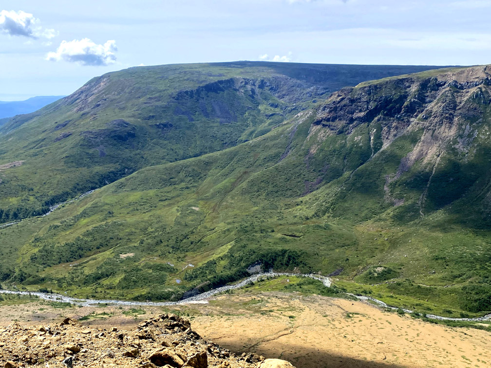
Collectively with the canyon, they form what may be considered a tripartite gulch.
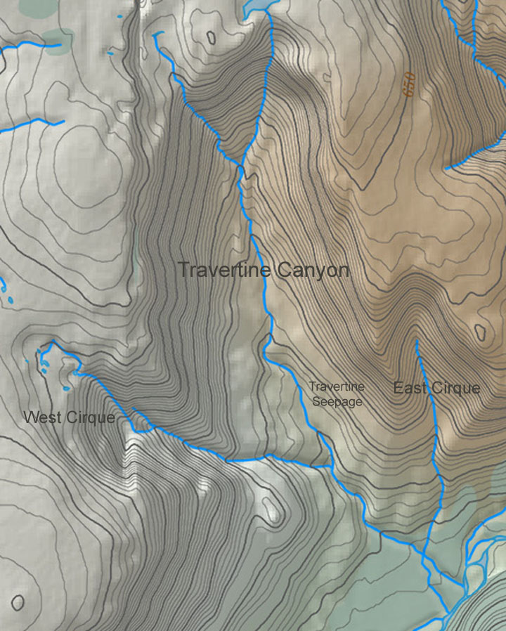
From here the route continues down the long peridotite ridge between the canyon and east cirque
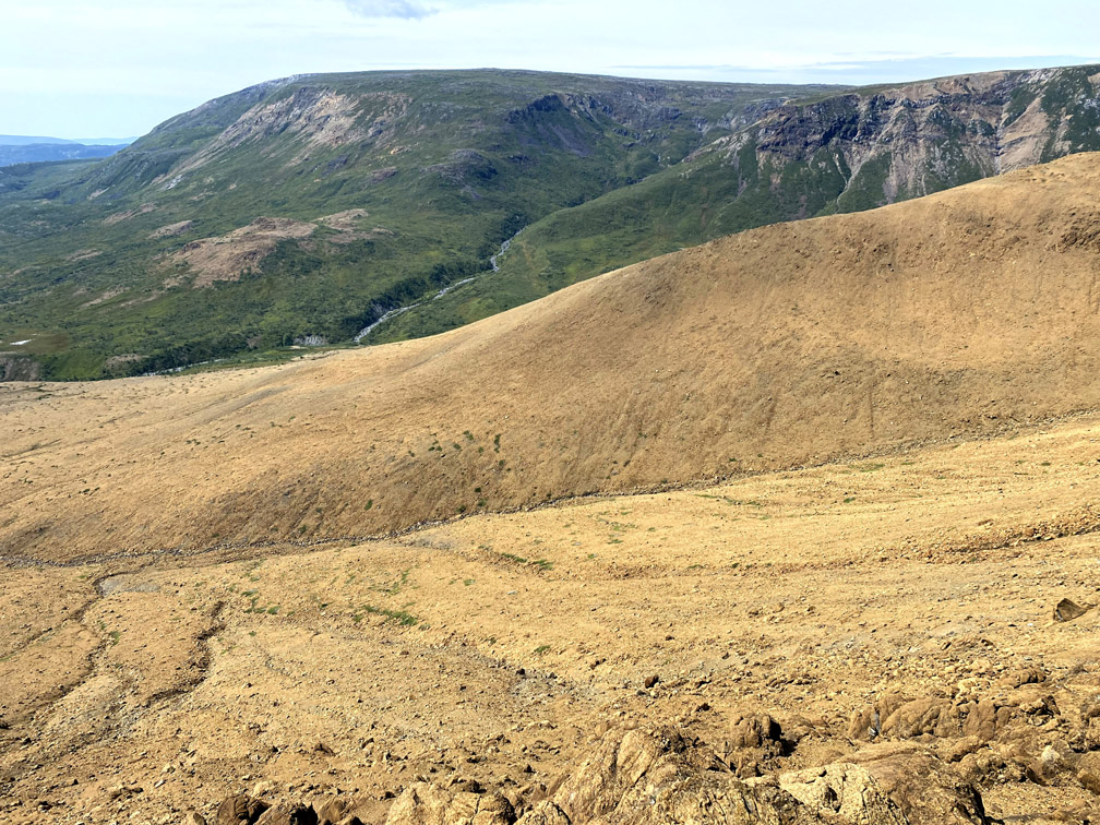
which provides good views of Fox Island River as it winds it way southwest through limestone bluffs on its way to the Gulf.
Before reaching the bottom of the ridge, if time and interest permits, hikers can choose to detour .5 – 1km into the canyon to view the impressive travertine seepages, which were formed by a process of rapid precipitation of calcium carbonate from the limestone of the ancient continental margin over which the mantle and oceanic crust were tectonically thrust.
The bottom of the peridotite ridge affords a good view of the east cirque and the trail route up or down (below left), as well as another possible route up or down the cirque’s east ridge (below right).
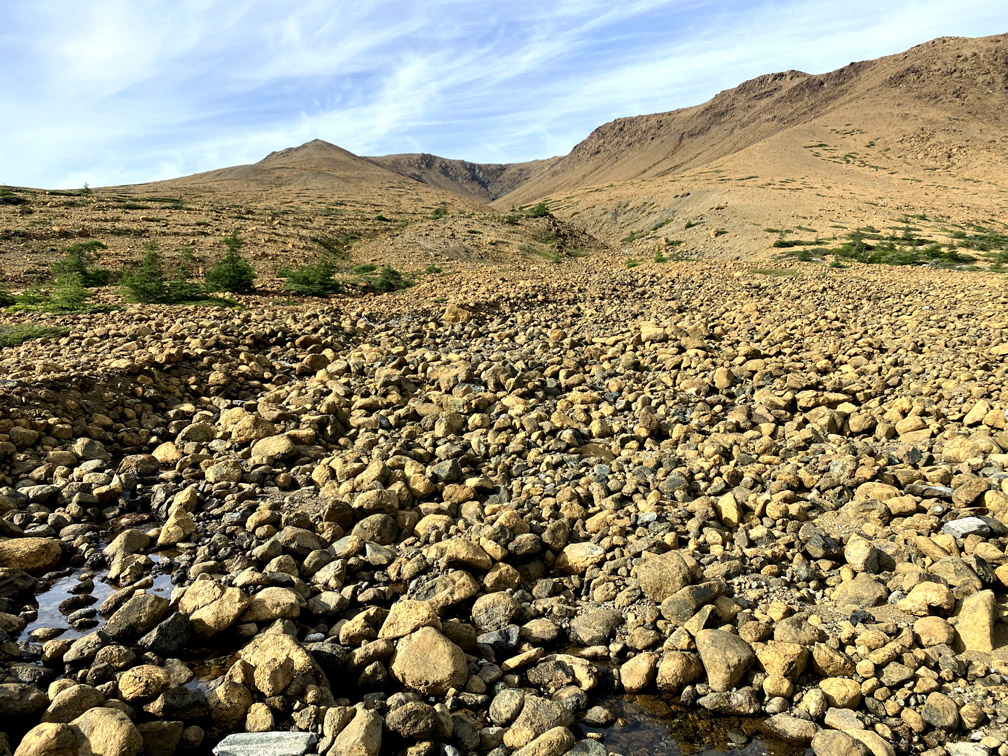
At this point, hikers must walk upstream along the rocky shores of Fox Island River, crossing back and forth whenever the views or shorelines dictate.
Once opposite Cascade Canyon, the route comes to a series of peridotite outcrops and a crystal-clear pool
an ideal spot for a cool dip or well-deserved rest, before closing the loop by reconnecting with the IATNL Lewis Hills Trail route and ascending the 150m (500ft) vertical slope that leads to/from the trailhead.
