
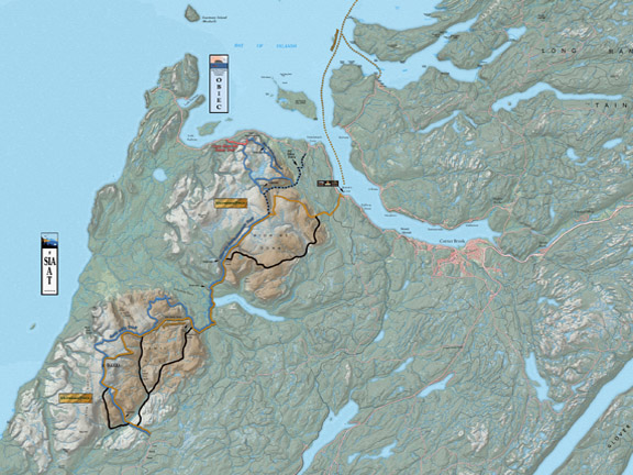
Topographical Maps
Click here for topographical maps of Ultramatrex and Ultra Extras
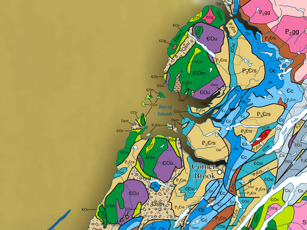
Geographic Information
Click here for geographic info about the Bay of Islands Ophiolite
UltramaTrex Route Description
Click here for detailed trail route description
Ultra Extras Route Description
Click Here for detailed trail route description
UltramaTrex Details & Directions
Click here for summary details and directions
Ultra Extras Details & Directions
Click here for summary details and directions
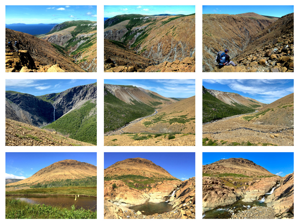
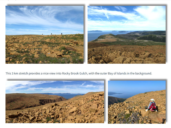
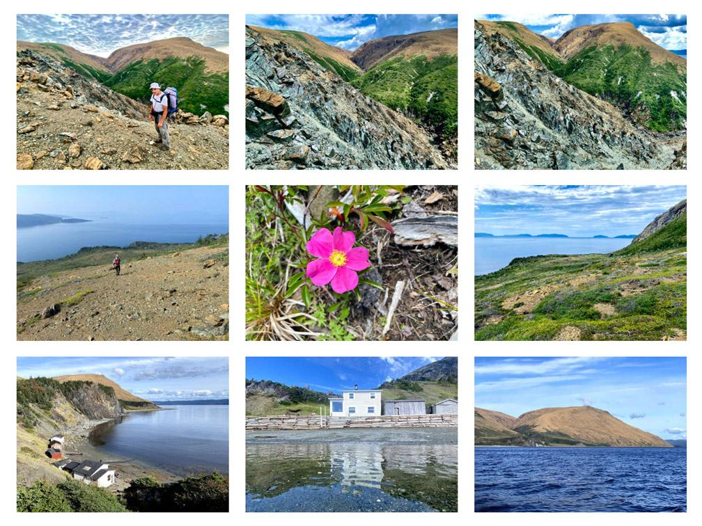
UltramaTrex Photo Gallery
Click here for UltramaTrex Photo Gallery
Ultra Extras Photo Gallery
Click here for Ultra Extras Photo Gallery
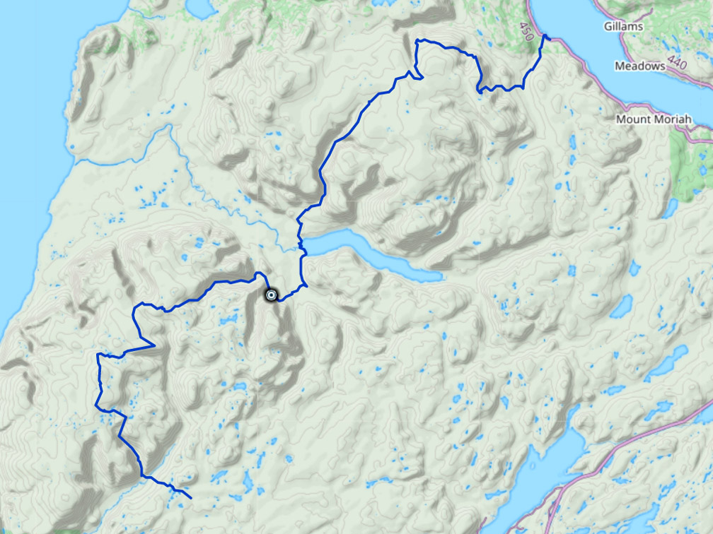
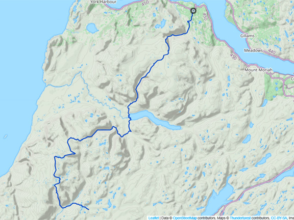
UltramaTrex GPS Tracks
Click here for UltramaTrex North and South GPS Tracks
Ultra Extras GPS Tracks
Click here for Ultra Extras North and South GPS Tracks