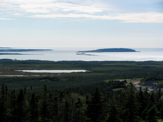
During summer 2010, with oil exploration beginning on the barrens near Parsons Pond, work was completed on the Jacques Cartier Memorial Trail around the circumference of scenic Parsons Pond Head. The landmark is located 1.6 kms (1 mile) from the Gulf coast, and rises to a height of approx. 150 meters (490 feet). From there one can view Jacques Cartier’s June 16, 1534 anchorage off Cow Head, on his first voyage to the Gulf of St. Lawrence, as well as the Gulf coastline he sailed stretching far to the north and south.

View of Cow Head to the southwest
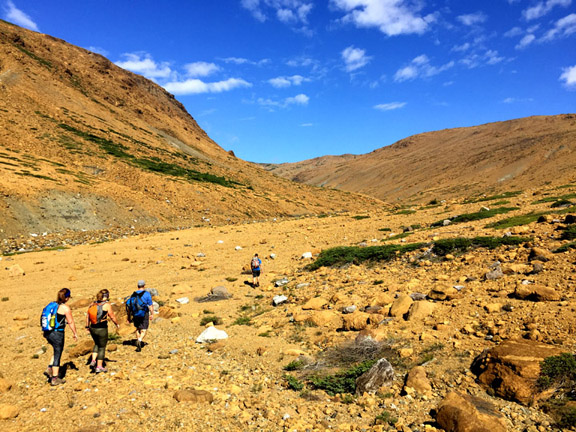
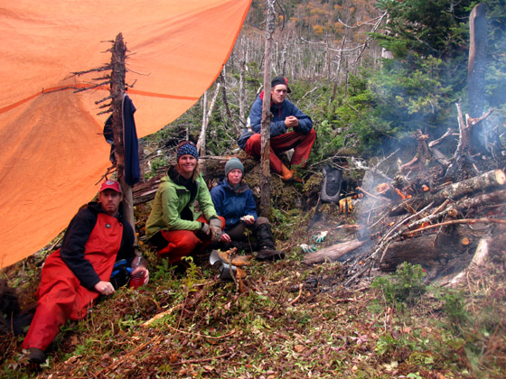
The trail, which was constructed by vounteers Tupack Norman (aka Cotton Joe), Curtis Payne, and IAT President Paul Wylezol, begins just off Route 430 – the Viking Trail – and after a 1 km (.6 mile) trek, makes a 3 km (1.8 mile) loop around the top of the Head.

To the northwest one gets a bird’s-eye view of the community of Parsons Pond, with Portland Head looming in the background.


To the north one can view the Flat Hills, where the IATNL’s Indian Lookout Trail begins its loop around Southwest Feeder Gulch.

To the northeast one gets spectacular views of Parsons Pond watershed, including its rugged mountains, deep fiords, and 15 km (9 mile) long “Outer” pond.

At the back end of Parsons Pond Outer Pond one can see the Devil’s Bite (1) above Parsons Pond “Inner” Pond, and the East Brook Gulch (2) and West Brook Gulch (3) trailheads of the 4-day looping Devil’s Bite Trail.

The Devil’s Bite Trail, though still under construction, is accessible by a 1-hour boat ride across Parsons Pond Outer Pond from the community of Parsons Pond. From the scenic boat ride you can catch a glimpse of Parsons Pond Head itself

and if you’re lucky enough to camp along the eastern shores of the pond, you can watch the sun set over the Head while roasting a weinie over a campfire on the shore!

The Jacques Cartier Memorial Trail will officially open in July 2011, after the installation of trail signs.


