


The Lewis Hills Trail is a 33km (20mi) traverse of the Lewis Hills Ophiolite Massif, from Fox Island River in the south to Blue Hill Brook in Serpentine Valley in the north.
The hills themselves – likely named after a French King Louis (Western Newfoundland was explored by renowned French explorer Jacques Cartier in 1534 and was part of the French Shore of Newfoundland until 1904) – are located approximately 18km (11mi) north of Stephenville and 27km (16miles) southwest of Corner Brook, and at the 814m (2,671ft) Cabox, is the highest point on the island of Newfoundland.
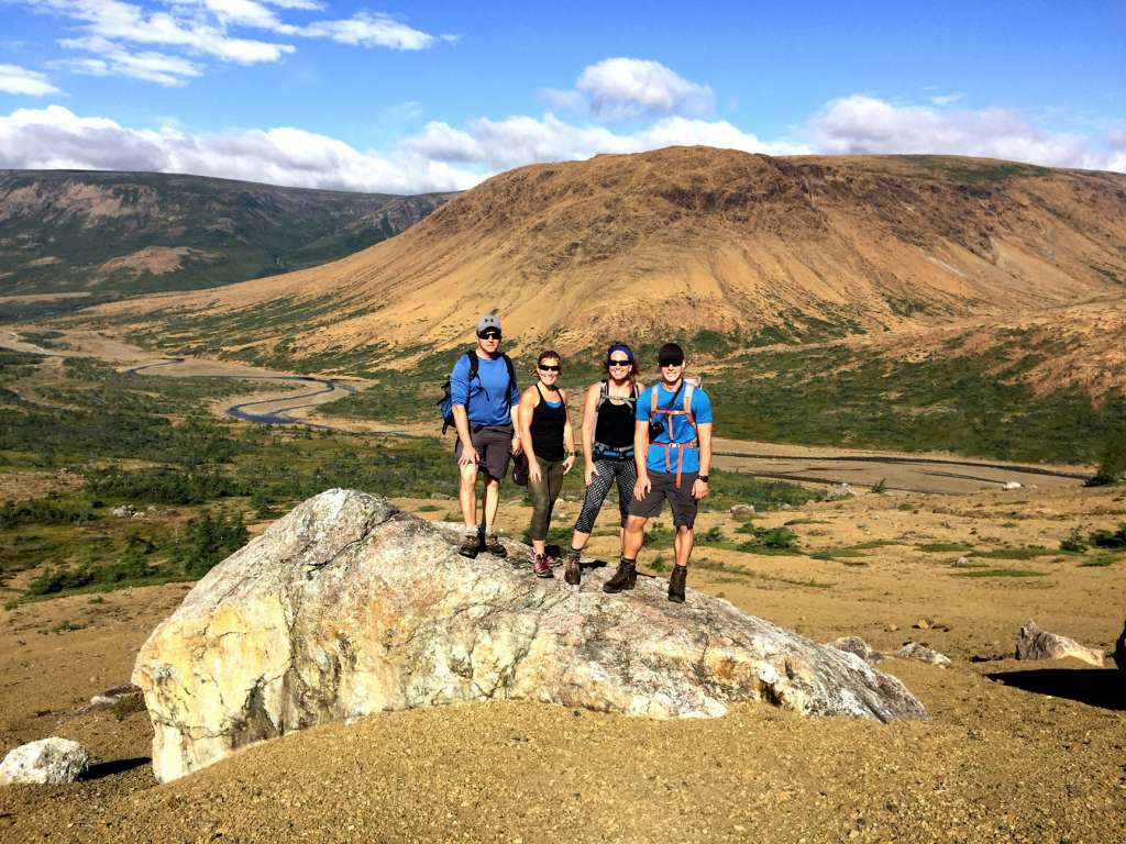
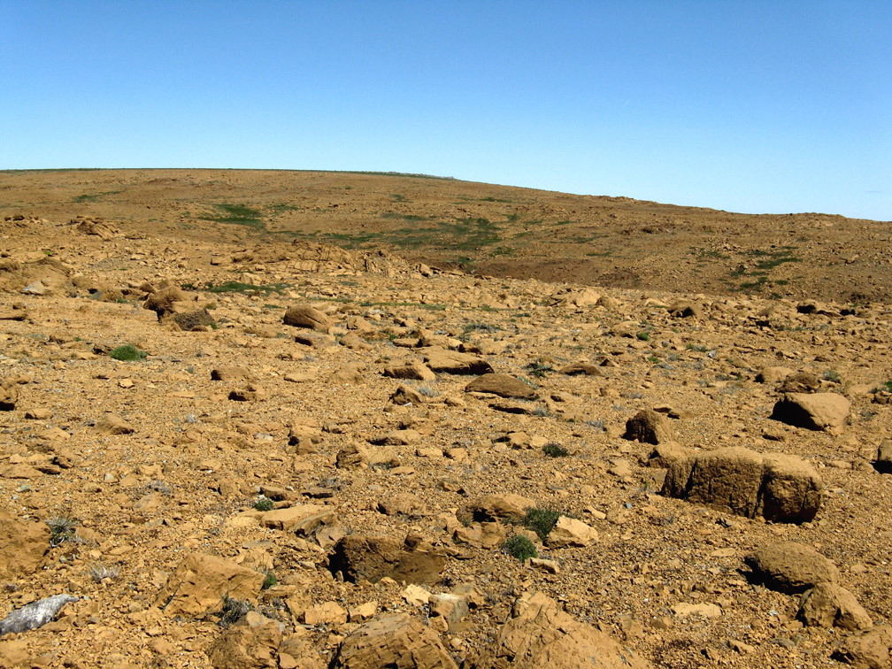
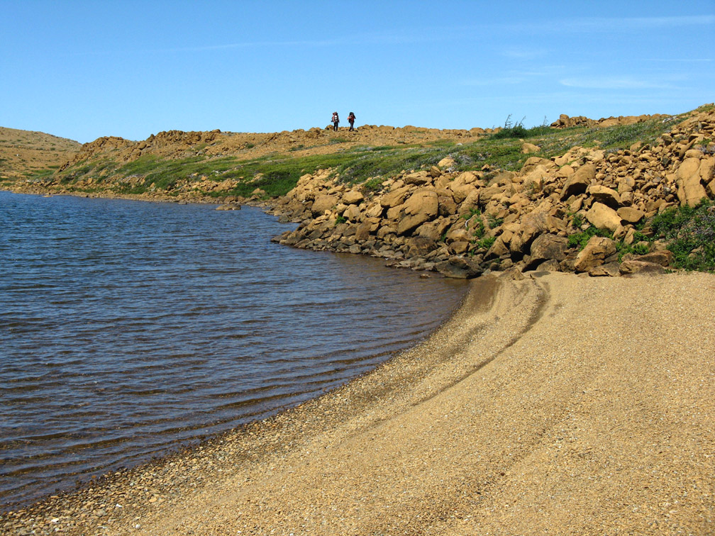
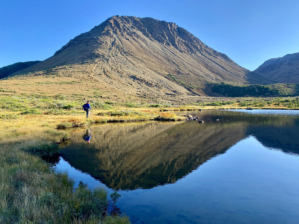
From the southern trailhead off Cold Brook Road, the trail crosses a 2km wetland revealing spectacular views of a rust-colored peridotite mountain range. This is a section of earth’s mantle similar to Table Mountain (aka Tablelands) in Gros Morne National Park, that was forced to the surface by plate tectonics during the closing of the Iapetus Ocean approximately 500 million years ago.
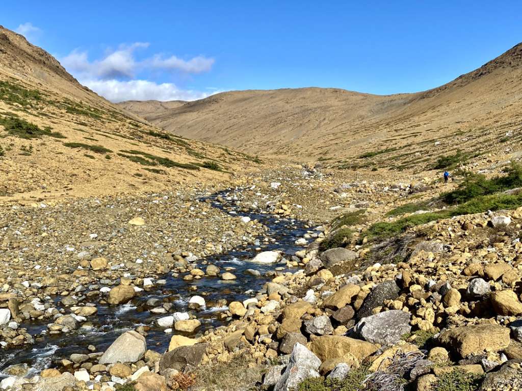
Descending 150m (500ft) before crossing Fox Island River,
the trail route rises 400m out of a 3km long “gulch”, passing a series of crystal-clear-cascades-with-small-wading-pools along the way.
Rust-colored ultramafic gulches are characteristic of all four of the Bay of Islands Ophiolite Massifs, with the majority of them located on the north and east sides of the mountains.
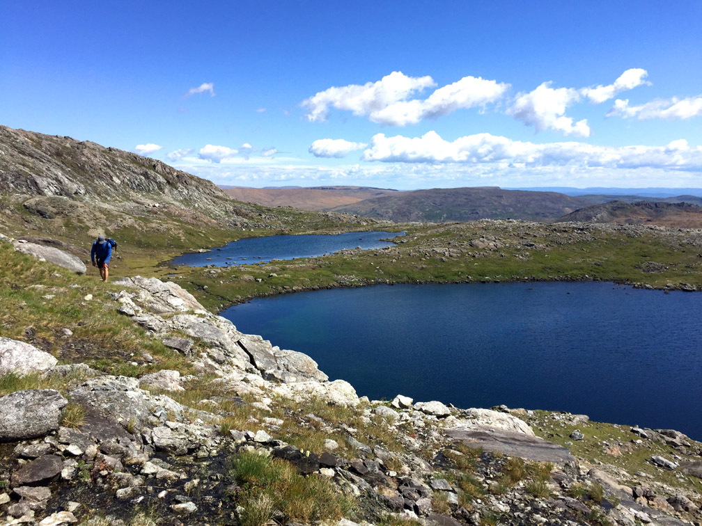
Once out of the gulch, the geological landscape transforms to one primarily of light-gray gabbro from an ocean crust, which under normal circumstances is found above earth’s mantle at the bottom of an ocean. Several small ponds and rock outcrops here require hikers to weave and bob their way
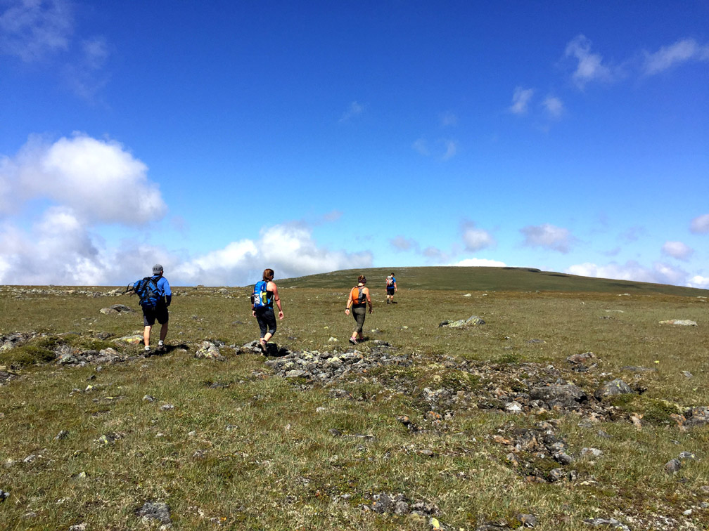
until they reach the base of a large 1km wide grassy summit that rises another 100 meters
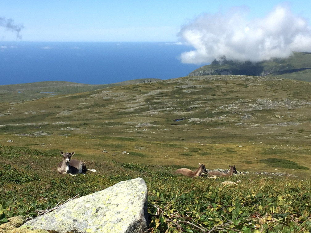
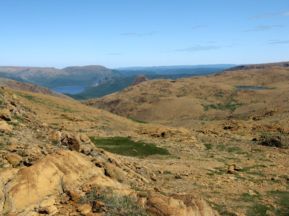
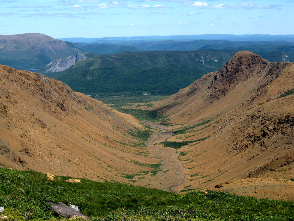
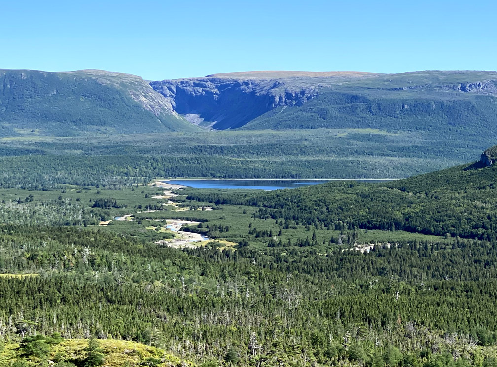
followed by a second similar summit rising an additional 30 meters to 812m (2,664ft), making this – the Cabox – the highest point on the island of Newfoundland. (Below Photo: View north from the Cabox)
From the Cabox, the trail route continues down the north slope of the summit
until it reaches the headwaters of Molly Ann Brook
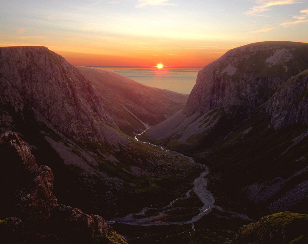
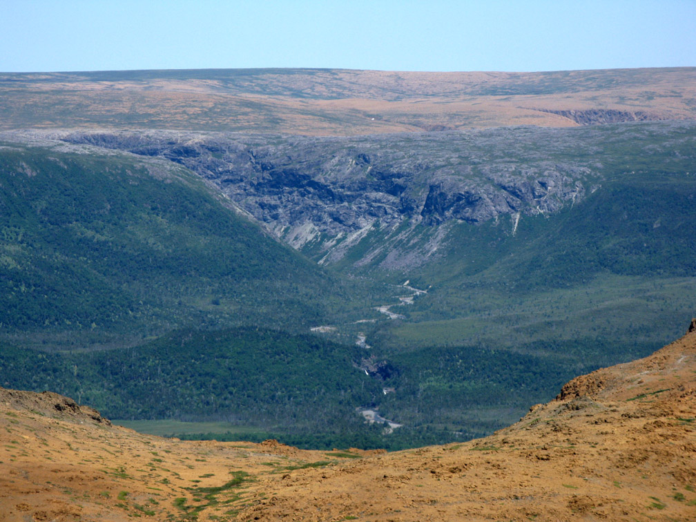
which flows into spectacular Molly Ann Gulch, a ruggedly wild canyon overlooking the Gulf of St. Lawrence.
Described in Beyond Ktaadn’s Eastern Alpine Guide as “a downright Rivendell-esque landscape of waterfalls rivulets, snowfields, and basaltic cliffs, overlooking the ocean,” camping near the edge of this northwest-facing gulch provides dramatic sunset vistas during summer months.
From this Lord of the Rings landscape, the route continues up an otherworldly screefield of mafic gneiss and amphibolite from the little-understood Mount Barren Complex, found only in the Lewis Hills, and ultramafic harzburgite and dunite (forms of peridotite) typical of all four of the Bay of Islands Ophiolite Massifs, the other three being (south to north) Blow Me Down Mountains, North Arm Hills/Gregory Mountains and Table Mountain, aka Tablelands in Gros Morne National Park.
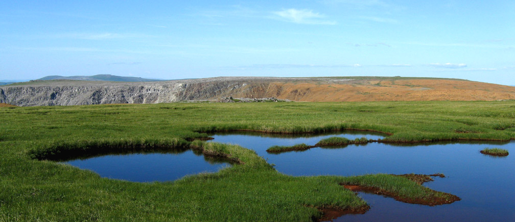
The lush green wetland at the height of land between Molly Ann Gulch and Rope Cove Canyon marks the transition between the Mount Barren Complex and typical Bay of Islands Complex
though Rope Cove Canyon emerging in the background contains cross-sections of both, with the gray rock characteristic of the Mount Barren Complex spanning the northwest entrance to the gulch and the rust-colored rock of earth’s mantle encircling the backend to the south. This was caused by the sequence of tectonic events that led to the uplifting of ocean crust and earth’s mantle below, approximately 500 million years ago.
From this geologic-kaleidoscopic viewpoint, the Lewis Hills Trail route turns east and traverses an exclusively ultramafic landscape until it reaches its northern trailhead.
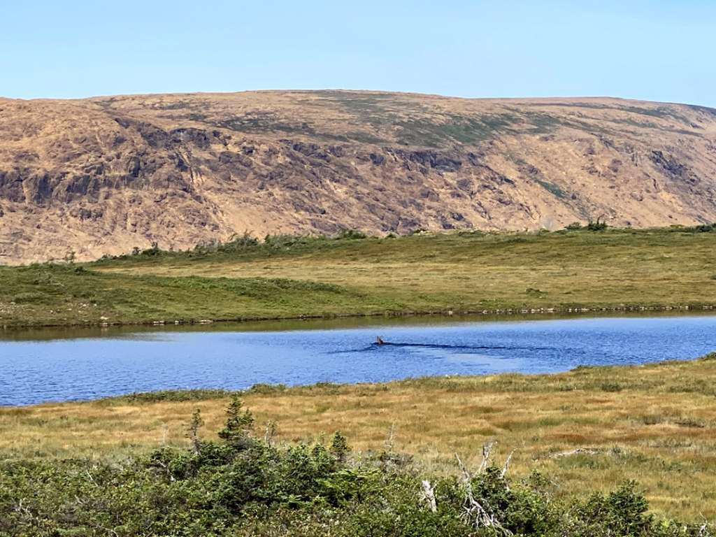
However, soon hikers must decide between taking a shorter-but-rougher route down Red Rocky Gulch or longer-more-gentle route around Bud’s Pond, where they have the opportunity to swim in a pristine mountaintop lake or crystal-clear mountain stream pool.
Taking the Red Rocky Route requires a 5km (3mi) walk down a rock-strewn J-shaped canyon beginning at 550 meters elevation and ending at 140 meters.
Along the way, hikers are never far from Red Rocky Brook, with its occasional waterfalls and cascades
some still containing traces of winter snow in the form of ice bridges and ice caves.
Once around the bend in the gulch, the valley floor widens and flattens and the rocks become smaller and easier to walk.
Taking the Bud’s Pond Route allows a more leisurely walk down more gently sloping terrain, while weaving around several picturesque mountaintop lakes.
But not before walking along the western rim of Red Rocky Gulch, which provides terrific views of the canyon below.
One of the advantages of this route are the swimming and wading opportunities in summer, though the water is a little cooler than some of our southern friends and neighbours can tolerate 🙂
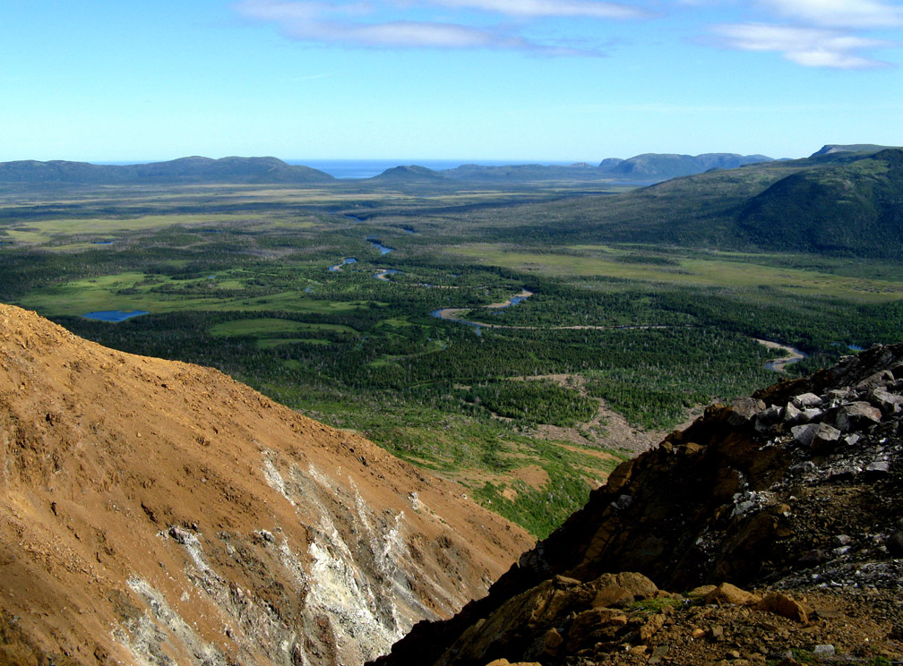
It also provides good views across Serpentine Valley to the entrance of Simms Gulch, at the southern end of the IATNL Blow Me Down Mountain Trail.
Not to mention good views of the colorful and rare wildflowers that bloom more closely to hikers’ feet
which are in stark contrast to the colorless clear water flowing out of Buds Pond, where a waterfalls pool is an ideal spot for a refreshing dip before it drops off over the edge of the hills
and flows into Serpentine River below.
Soon hikers themselves must descend through a short unnamed gulch to a relatively barren lowland running along the base of the hills.
Near the little falls at the entrance to Red Rocky Gulch, the Buds Ponds Route intersects with the Red Rocky Route
then crosses a low ridge to the entrance to Wheeler’s Gulch
followed by another low ridge with a pretty view of Serpentine Lake and the entrance to Simms Gulch.
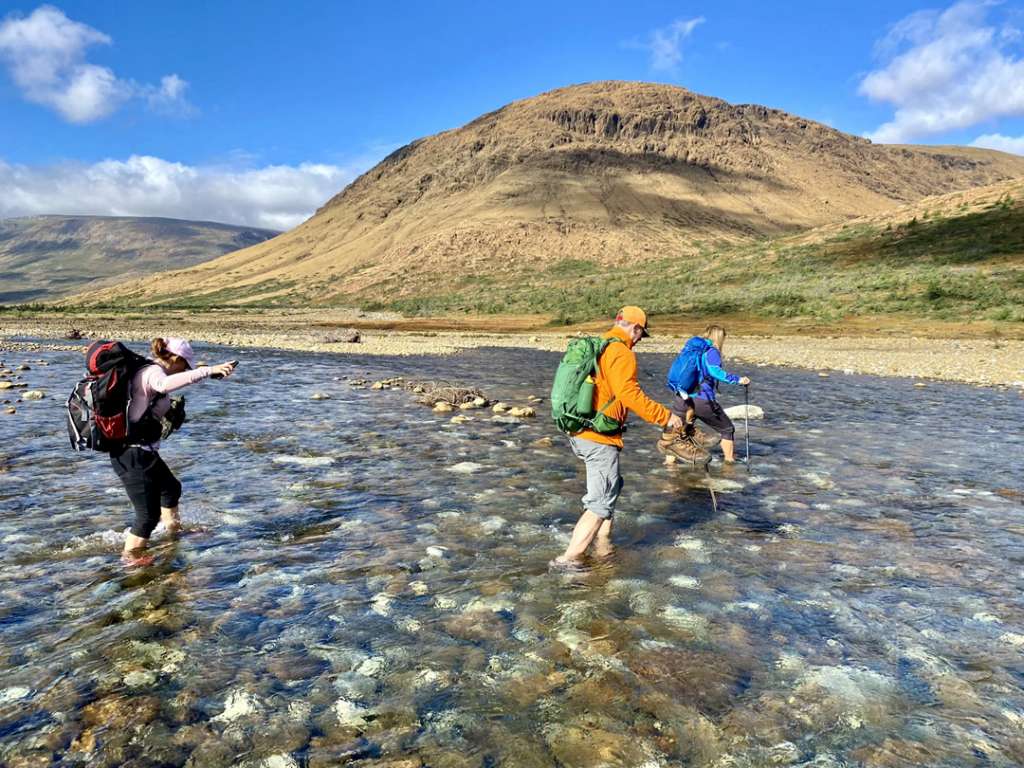
From here it’s just a short 2km walk and knee-deep stream crossing (of Blue Hill and Middle Blue Hill Brooks) to the northern trailhead of the IATNL Lewis Hills Trail on Serpentine Logging Road.