


The IATNL Elephant Trail is a 3.8km (2.3mi) one-way hiking route from Mogul ATV Road to the top of Elephant Head on the south shore of Trout River Pond. A trek of this route also requires a 3.3km (2mi) one-way hike, bike or ATV ride on Mogul ATV Road from its intersection with Chimney Cove Road.
Mogul ATV Road starts approximately 2kms past Trout River Campground in Gros Morne National Park after passing a cattle grate and fence with trail directional sign.
There’s room at right to park 2-3 vehicles, with room for more around the turn just up the road. The ATV road starts on the left just past the grate and fence.
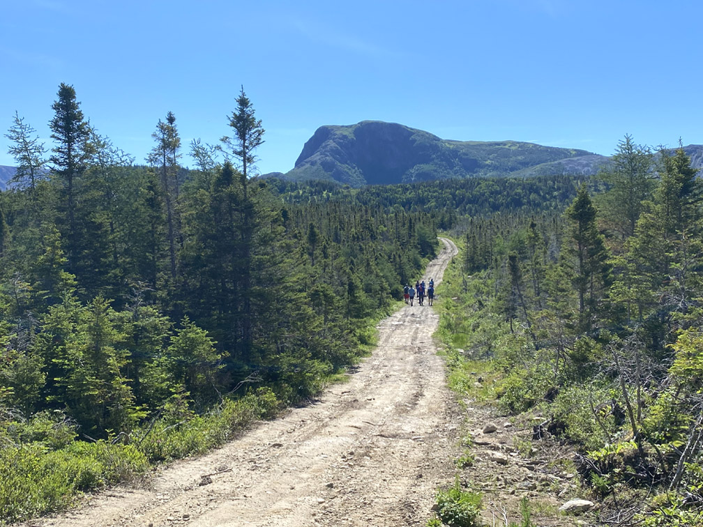
Though constructed and used by hunters and cabin owners to access remote areas south of Gros Morne National Park, Mogul ATV Road provides good access to the Elephant Trail trailhead, though during rainy intervals in summer and the fall hunting season when temperatures are lower, sections of the gravel road can be muddy. After 3.3km (2mi) a small sign on the right side of the road marks the beginning of the Elephant Trail.
After just 350m (1,150ft), hikers come to the first significant viewpoint where they get a full profile view of the Elephant Head and much of its back, which covers most of the hiking route to come. It also provides a glimpse of the Tablelands Ophiolite Massif, which they will see much more of as the hike progresses.
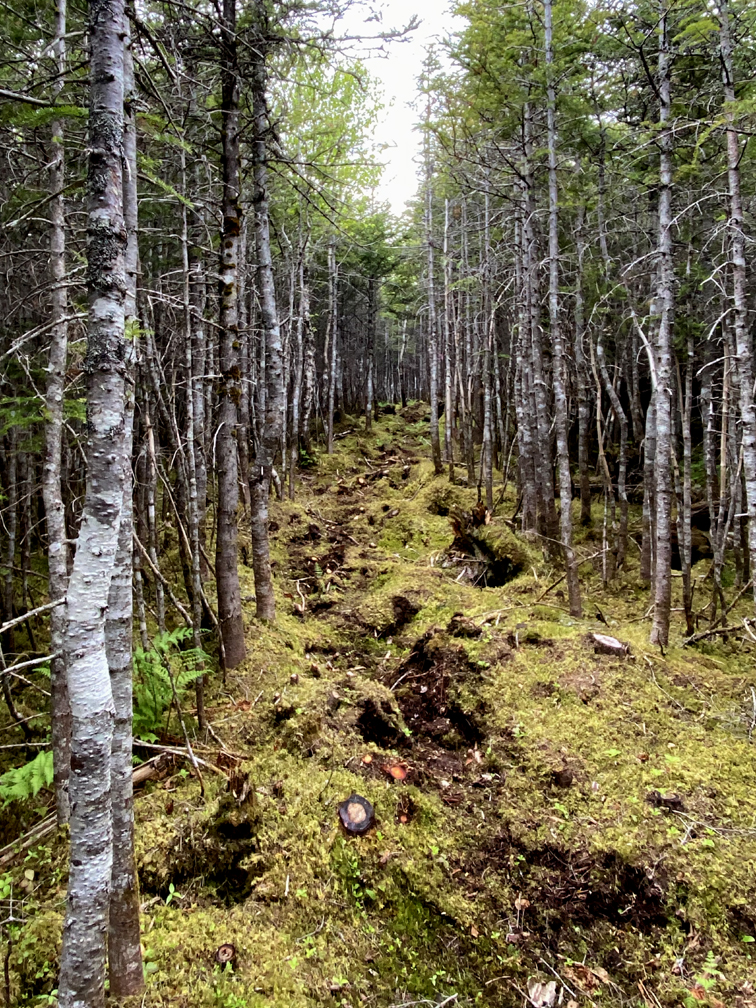
From there the trail heads downhill through a Keatsian landscape of “verdurous glooms and winding mossy ways”
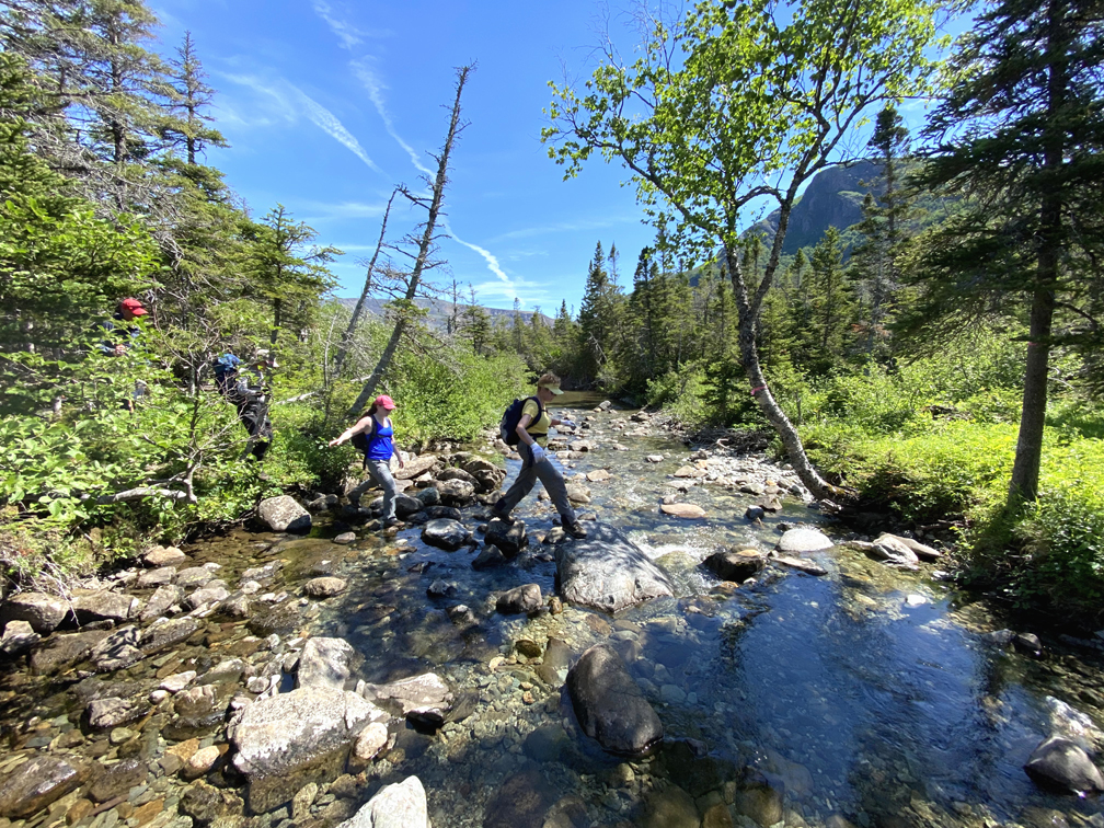
until it reaches Narrows Brook, which empties near the Narrows between Trout River inner and outer ponds.
After rock hopping across the brook and taking a refreshing dip in a shaded pool (unless saving it for the return trek)
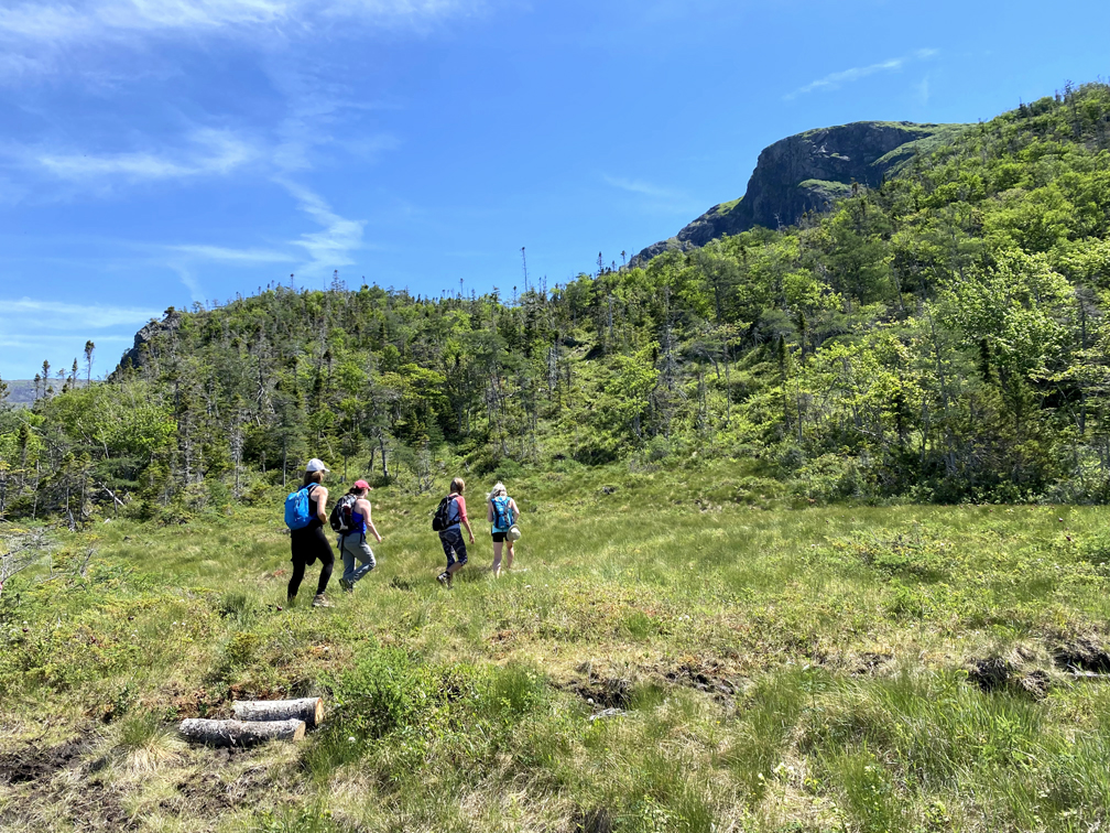
hikers begin a 410m (1,345ft) climb over 2.9km (1.75mi).
The first leg of the climb is through a hillside forest, with a scenic rest stop on a rocky outcrop.
At 200m into the climb, the trail emerges from a thinning forest and continues over a mafic scree field composed of light gray gabbro from an ocean floor, forced to the surface by plate tectonics during the closing of the Iapetus Ocean approximately 480 million years ago.
Soon the route comes to a small pond in a saddle of a valley, a nice place to stop for lunch before tackling the last 170m (558ft) of the climb.
From here hikers must turn left and follow a trail around the north side of the pond, before hopscotching across a small wetland on short logs, then climb up through a sparse forest until they reach the treeless mountaintop where a weathered moose antler points the way across the shrubby plateau … until it ends up as some hungry scavenger’s trophy or dinner.
The last kilometer of the trail route weaves across mostly level terrain
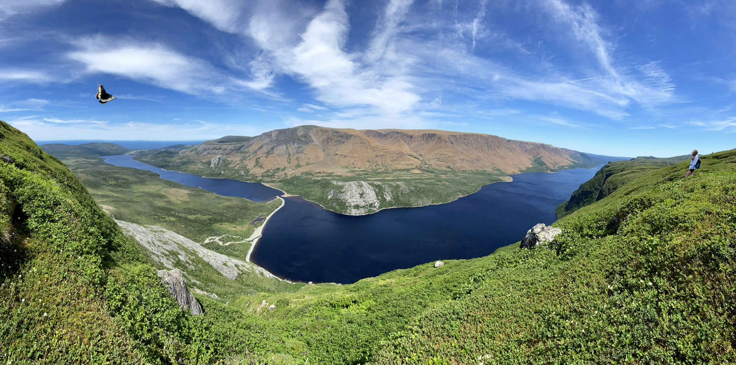
until it wanders across the Gros Morne National Park boundary and stumbles into that jaw-dropping eureka moment when Table Mountain (aka the Tablelands) and Trout River Pond come magically into view.
It’s all down hill from here. Repeat Steps 1 – 10,000.